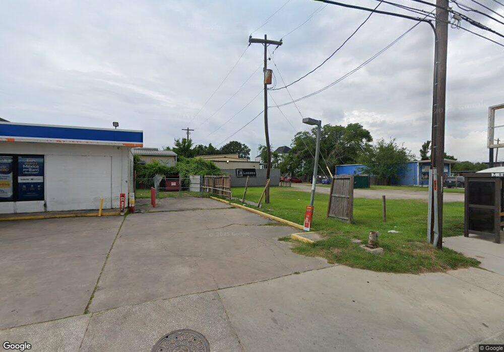
4617 Shepherd Dr Houston, TX 77018
Oak Forest-Garden Oaks Neighborhood
--
Bed
--
Bath
9,100
Sq Ft
1
Acres
About This Home
This home is located at 4617 Shepherd Dr, Houston, TX 77018. 4617 Shepherd Dr is a home located in Harris County with nearby schools including Durham Elementary School, Frank Black Middle School, and Waltrip High School.
Ownership History
Date
Name
Owned For
Owner Type
Purchase Details
Closed on
Aug 15, 2023
Sold by
Hossley William B
Bought by
Bruser Properties Llc- Series 4617 N Shepherd
Purchase Details
Closed on
Feb 27, 2017
Sold by
Fleming Marie and The Estate Of Gloria A Vick
Bought by
Hossley William B
Create a Home Valuation Report for This Property
The Home Valuation Report is an in-depth analysis detailing your home's value as well as a comparison with similar homes in the area
Home Values in the Area
Average Home Value in this Area
Purchase History
| Date | Buyer | Sale Price | Title Company |
|---|---|---|---|
| Bruser Properties Llc- Series 4617 N Shepherd | -- | None Listed On Document | |
| Hossley William B | -- | Stewart Title |
Source: Public Records
Tax History Compared to Growth
Tax History
| Year | Tax Paid | Tax Assessment Tax Assessment Total Assessment is a certain percentage of the fair market value that is determined by local assessors to be the total taxable value of land and additions on the property. | Land | Improvement |
|---|---|---|---|---|
| 2025 | $33,684 | $1,679,951 | $1,239,840 | $440,111 |
| 2024 | $33,684 | $1,609,838 | $1,239,840 | $369,998 |
| 2023 | $32,071 | $1,591,758 | $1,239,840 | $351,918 |
| 2022 | $24,651 | $1,119,547 | $119,447 | $1,000,100 |
| 2021 | $23,703 | $1,016,996 | $661,248 | $355,748 |
| 2020 | $19,839 | $819,270 | $495,936 | $323,334 |
| 2019 | $18,862 | $745,421 | $495,936 | $249,485 |
| 2018 | $14,663 | $579,482 | $330,624 | $248,858 |
| 2017 | $13,207 | $522,772 | $330,624 | $192,148 |
| 2016 | $13,270 | $524,820 | $330,624 | $194,196 |
| 2015 | -- | $527,425 | $330,624 | $196,801 |
| 2014 | -- | $365,579 | $206,640 | $158,939 |
Source: Public Records
Map
Nearby Homes
- 742 Curtin St
- 744 Curtin St
- 748 Curtin St
- 750 Curtin St
- 752 Curtin St
- 719 Thornton Rd Unit B
- 719 Thornton Rd Unit E
- 719 Thornton Rd Unit A
- 719 Thornton Rd Unit F
- 9388 Plan at Thornton Oaks
- 9384 Plan at Thornton Oaks
- 811 Thornton Rd Unit B
- 535 Azaleadell Dr
- 4703 Thornton Grove
- 812 Thornton Rd Unit B
- 817 Thornton Rd Unit G
- 817 Thornton Rd Unit F
- 4711 Thornton Grove
- 4713 Thornton Views Rd
- 4705 Thornton Views Rd
- 710 Curtin St
- 715 Thornton Rd
- 706 Curtin St
- 714 Curtin St
- 719 Thornton Rd
- 721 Thornton Rd
- 704 Thornton Rd
- 803 Thornton Rd
- 803 Thornton Rd Unit D
- 803 Thornton Rd Unit J
- 803 Thornton Rd Unit I
- 803 Thornton Rd Unit C
- 803 Thornton Rd Unit B
- 803 Thornton Rd Unit H
- 803 Thornton Rd Unit G
- 803 Thornton Rd Unit E
- 803 Thornton Rd Unit A
- 803 Thornton Rd Unit F
- 800 Curtin St
- 809 Thornton Rd