4618 Burnt Fork Cir Douglasville, GA 30135
Anneewakee NeighborhoodEstimated Value: $281,000 - $307,000
3
Beds
2
Baths
1,566
Sq Ft
$186/Sq Ft
Est. Value
About This Home
This home is located at 4618 Burnt Fork Cir, Douglasville, GA 30135 and is currently estimated at $291,096, approximately $185 per square foot. 4618 Burnt Fork Cir is a home located in Douglas County with nearby schools including New Manchester Elementary School, Factory Shoals Middle School, and New Manchester High School.
Ownership History
Date
Name
Owned For
Owner Type
Purchase Details
Closed on
Mar 25, 2009
Sold by
Va
Bought by
Stephens Aisha
Current Estimated Value
Home Financials for this Owner
Home Financials are based on the most recent Mortgage that was taken out on this home.
Original Mortgage
$93,180
Outstanding Balance
$59,156
Interest Rate
5.1%
Mortgage Type
FHA
Estimated Equity
$231,940
Purchase Details
Closed on
May 6, 2008
Sold by
Wells Fargo Bank Na
Bought by
Va
Purchase Details
Closed on
Jul 29, 2005
Sold by
Weekley Homes
Bought by
Still Wanda R
Home Financials for this Owner
Home Financials are based on the most recent Mortgage that was taken out on this home.
Original Mortgage
$168,261
Interest Rate
5.57%
Mortgage Type
VA
Create a Home Valuation Report for This Property
The Home Valuation Report is an in-depth analysis detailing your home's value as well as a comparison with similar homes in the area
Home Values in the Area
Average Home Value in this Area
Purchase History
| Date | Buyer | Sale Price | Title Company |
|---|---|---|---|
| Stephens Aisha | -- | -- | |
| Va | -- | -- | |
| Wells Fargo Bank Na | $149,821 | -- | |
| Still Wanda R | $168,300 | -- |
Source: Public Records
Mortgage History
| Date | Status | Borrower | Loan Amount |
|---|---|---|---|
| Open | Stephens Aisha | $93,180 | |
| Previous Owner | Still Wanda R | $168,261 |
Source: Public Records
Tax History Compared to Growth
Tax History
| Year | Tax Paid | Tax Assessment Tax Assessment Total Assessment is a certain percentage of the fair market value that is determined by local assessors to be the total taxable value of land and additions on the property. | Land | Improvement |
|---|---|---|---|---|
| 2024 | $2,513 | $94,680 | $26,920 | $67,760 |
| 2023 | $2,513 | $94,680 | $26,920 | $67,760 |
| 2022 | $2,438 | $86,800 | $12,640 | $74,160 |
| 2021 | $1,743 | $54,960 | $9,960 | $45,000 |
| 2020 | $1,764 | $54,960 | $9,960 | $45,000 |
| 2019 | $1,621 | $53,800 | $9,960 | $43,840 |
| 2018 | $1,627 | $53,720 | $10,200 | $43,520 |
| 2017 | $1,542 | $50,120 | $10,520 | $39,600 |
| 2016 | $1,491 | $47,800 | $10,440 | $37,360 |
| 2015 | $1,127 | $45,360 | $10,200 | $35,160 |
| 2014 | $1,127 | $35,240 | $8,440 | $26,800 |
| 2013 | -- | $29,360 | $7,040 | $22,320 |
Source: Public Records
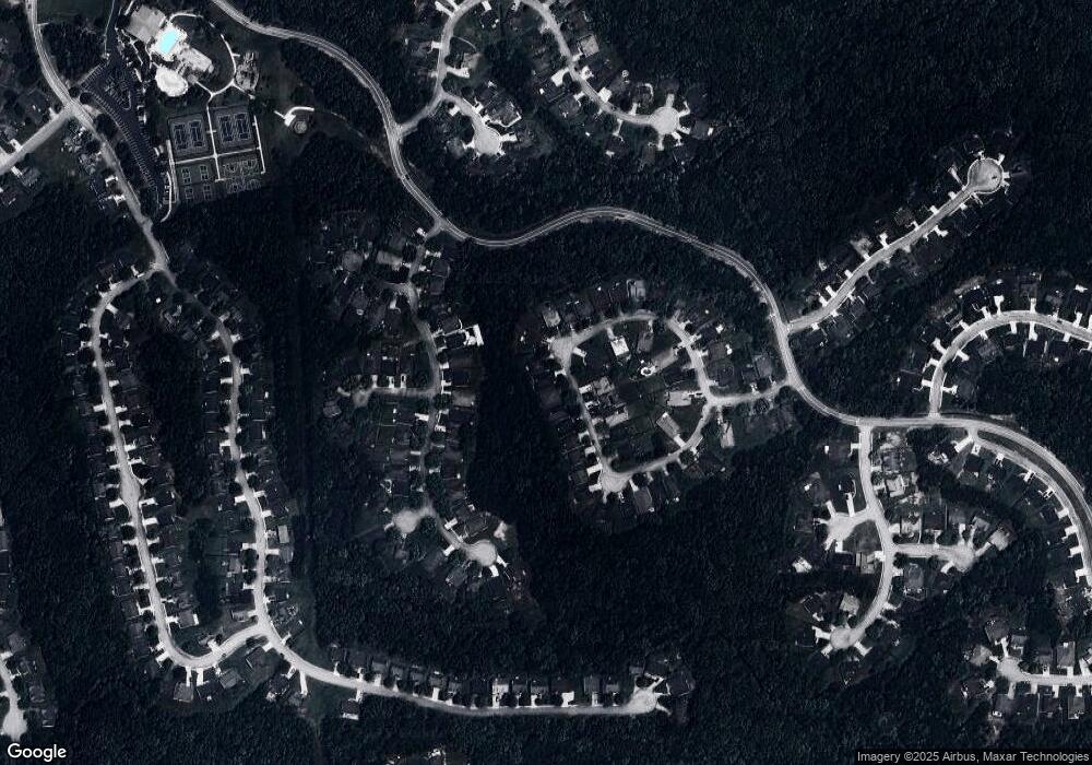
Map
Nearby Homes
- 4605 Lightning Bolt Trail
- 2902 Grazing Bull Ct
- 4375 Split Creek Dr
- 4378 Lodgeview Place
- 4405 Feather Way
- 3258 Hunting Creek Pass
- 4370 Pipestone Place
- 4590 River Stone Trail
- 2940 Highland Hill Pkwy
- 2950 Highland Hill Pkwy Unit 1
- 4475 River Stone Tr
- 3161 Berthas Overlook
- 4893 Spanish Oak Rd
- 4702 Moccasin Ct
- 2625 Thunder Basin Way Unit 1
- 2590 Gilbert Branch
- 0 Highway 92 Unit 7658655
- 0 Highway 92 Unit 10616110
- 4620 Burnt Fork Cir
- 4616 Burnt Fork Cir
- 4622 Burnt Fork Cir
- 0 Burnt Fork Cir Unit 7442347
- 0 Burnt Fork Cir Unit 8605345
- 0 Burnt Fork Cir Unit 8559335
- 0 Burnt Fork Cir Unit 8543912
- 0 Burnt Fork Cir Unit 3118406
- 0 Burnt Fork Cir Unit 7499143
- 0 Burnt Fork Cir Unit 7527041
- 0 Burnt Fork Cir Unit 7350343
- 0 Burnt Fork Cir Unit 8362233
- 0 Burnt Fork Cir Unit 8289478
- 0 Burnt Fork Cir Unit 7622426
- 0 Burnt Fork Cir Unit 7338198
- 0 Burnt Fork Cir Unit 7207751
- 0 Burnt Fork Cir Unit 7205989
- 0 Burnt Fork Cir Unit 9065576
- 0 Burnt Fork Cir Unit 8852652
- 0 Burnt Fork Cir Unit 2550747