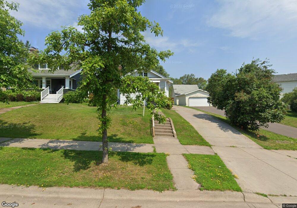
4619 Cambridge St Duluth, MN 55804
Lakeside-Lester Park NeighborhoodEstimated Value: $208,000 - $276,492
2
Beds
1
Bath
960
Sq Ft
$264/Sq Ft
Est. Value
About This Home
This home is located at 4619 Cambridge St, Duluth, MN 55804 and is currently estimated at $253,873, approximately $264 per square foot. 4619 Cambridge St is a home located in St. Louis County with nearby schools including Lester Park Elementary School, Ordean East Middle School, and East High School.
Ownership History
Date
Name
Owned For
Owner Type
Purchase Details
Closed on
Aug 19, 2002
Sold by
Downs Kara A and Madill Kara A
Bought by
Lackore Michael Robert
Current Estimated Value
Home Financials for this Owner
Home Financials are based on the most recent Mortgage that was taken out on this home.
Original Mortgage
$109,112
Outstanding Balance
$45,565
Interest Rate
6.5%
Mortgage Type
FHA
Estimated Equity
$208,308
Purchase Details
Closed on
Jan 24, 2001
Sold by
Madill Jeffrey M
Bought by
Downs Kara A and Madill Kara A
Create a Home Valuation Report for This Property
The Home Valuation Report is an in-depth analysis detailing your home's value as well as a comparison with similar homes in the area
Home Values in the Area
Average Home Value in this Area
Purchase History
We collect this data history from publicly available records. To have your information removed, we recommend requesting removal directly through your county’s website.
| Date | Buyer | Sale Price | Title Company |
|---|---|---|---|
| Lackore Michael Robert | $110,000 | -- | |
| Downs Kara A | -- | -- |
Source: Public Records
Mortgage History
We collect this data history from publicly available records. To have your information removed, we recommend requesting removal directly through your county’s website.
| Date | Status | Borrower | Loan Amount |
|---|---|---|---|
| Open | Lackore Michael Robert | $109,112 |
Source: Public Records
Tax History
| Year | Tax Paid | Tax Assessment Tax Assessment Total Assessment is a certain percentage of the fair market value that is determined by local assessors to be the total taxable value of land and additions on the property. | Land | Improvement |
|---|---|---|---|---|
| 2024 | $3,086 | $232,000 | $47,500 | $184,500 |
| 2023 | $2,880 | $205,600 | $39,400 | $166,200 |
| 2022 | $2,684 | $188,900 | $36,500 | $152,400 |
| 2021 | $2,206 | $156,200 | $30,200 | $126,000 |
| 2020 | $2,144 | $156,200 | $30,200 | $126,000 |
| 2019 | $1,536 | $149,100 | $28,800 | $120,300 |
| 2018 | $1,332 | $115,600 | $28,800 | $86,800 |
| 2017 | $1,396 | $109,900 | $28,800 | $81,100 |
| 2016 | $1,370 | $122,600 | $28,000 | $94,600 |
| 2015 | $1,408 | $73,900 | $20,900 | $53,000 |
| 2014 | $1,408 | $75,500 | $6,900 | $68,600 |
Source: Public Records
Map
Nearby Homes
- 4631 London Rd
- 4431 Robinson St
- 19 N 44th Ave E
- 4215 Regent St
- 4203 Robinson St
- 4807 Pitt St
- 4123 Lombard St
- 1127 N 46th Ave E
- 4820 Dodge St
- 202 N 40th Ave E
- 5020 Dodge St
- 4823 Peabody St
- 5002 Peabody St
- 4011 Pitt St
- 5220 London Rd
- 4419 Tioga St
- 4026 Colorado St
- XXXX E Superior St
- 4101 Colorado St
- 3731 London Rd
- 4615 Cambridge St
- 4645 London Rd
- 4605 Cambridge St
- 4612 Regent St
- 421 N 47th Ave E
- 4601 Cambridge St
- 4627 London Rd
- 4602 Cambridge St
- 4623 London Rd
- 413 N 46th Ave E
- 4619 Regent St
- 4621 Regent St
- 4619 London Rd
- 4609 Regent St
- 4627 Regent St
- 4640 London Rd
- 4631 Regent St
- 4528 Regent St
- 4605 Regent St
- 4523 Cambridge St
Your Personal Tour Guide
Ask me questions while you tour the home.