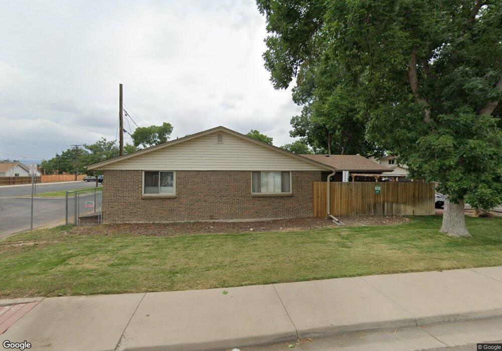
4619 Independence St Unit 11 Wheat Ridge, CO 80033
Kipling NeighborhoodEstimated Value: $290,000 - $343,000
2
Beds
1
Bath
862
Sq Ft
$364/Sq Ft
Est. Value
About This Home
This home is located at 4619 Independence St Unit 11, Wheat Ridge, CO 80033 and is currently estimated at $313,841, approximately $364 per square foot. 4619 Independence St Unit 11 is a home located in Jefferson County with nearby schools including Peak Expeditionary - Pennington, Everitt Middle School, and Wheat Ridge High School.
Ownership History
Date
Name
Owned For
Owner Type
Purchase Details
Closed on
Apr 27, 2001
Sold by
Welsh Joan R and Welsh Ben P
Bought by
Montoya Andrew Louis
Current Estimated Value
Home Financials for this Owner
Home Financials are based on the most recent Mortgage that was taken out on this home.
Original Mortgage
$121,950
Outstanding Balance
$44,794
Interest Rate
6.81%
Estimated Equity
$269,047
Purchase Details
Closed on
Aug 14, 2000
Sold by
Rape Dallas Rape Leona C
Bought by
Welsh Joan R and Welsh Ben P
Home Financials for this Owner
Home Financials are based on the most recent Mortgage that was taken out on this home.
Original Mortgage
$106,000
Interest Rate
8.22%
Purchase Details
Closed on
Apr 27, 1999
Sold by
Mcclaran Bernice L
Bought by
Rape Dallas and Rape Leona C
Home Financials for this Owner
Home Financials are based on the most recent Mortgage that was taken out on this home.
Original Mortgage
$90,678
Interest Rate
6.99%
Mortgage Type
VA
Create a Home Valuation Report for This Property
The Home Valuation Report is an in-depth analysis detailing your home's value as well as a comparison with similar homes in the area
Home Values in the Area
Average Home Value in this Area
Purchase History
| Date | Buyer | Sale Price | Title Company |
|---|---|---|---|
| Montoya Andrew Louis | $124,900 | -- | |
| Welsh Joan R | $118,000 | -- | |
| Rape Dallas | $88,900 | Land Title |
Source: Public Records
Mortgage History
| Date | Status | Borrower | Loan Amount |
|---|---|---|---|
| Open | Montoya Andrew Louis | $121,950 | |
| Previous Owner | Welsh Joan R | $106,000 | |
| Previous Owner | Rape Dallas | $90,678 |
Source: Public Records
Tax History Compared to Growth
Tax History
| Year | Tax Paid | Tax Assessment Tax Assessment Total Assessment is a certain percentage of the fair market value that is determined by local assessors to be the total taxable value of land and additions on the property. | Land | Improvement |
|---|---|---|---|---|
| 2024 | $1,714 | $18,493 | $6,030 | $12,463 |
| 2023 | $1,714 | $18,493 | $6,030 | $12,463 |
| 2022 | $1,404 | $15,074 | $4,170 | $10,904 |
| 2021 | $1,425 | $15,508 | $4,290 | $11,218 |
| 2020 | $1,381 | $15,061 | $4,290 | $10,771 |
| 2019 | $1,362 | $15,061 | $4,290 | $10,771 |
| 2018 | $1,132 | $12,171 | $3,600 | $8,571 |
| 2017 | $1,031 | $12,171 | $3,600 | $8,571 |
| 2016 | $863 | $9,544 | $2,706 | $6,838 |
| 2015 | $634 | $9,544 | $2,706 | $6,838 |
| 2014 | $634 | $6,591 | $2,229 | $4,362 |
Source: Public Records
Map
Nearby Homes
- 4607 Independence St
- 4691 Independence St Unit 1
- 4715 Garland St
- 9380 W 49th Ave Unit 101
- 4658 Flower St Unit 4658
- 4615 Field St
- 10251 W 44th Ave Unit 8-206
- 8976 W 46th Place Unit 8976
- 4931 Garrison St Unit 204G
- 4229 Garrison St
- 4870 Field Ct
- 5071 Garrison St Unit 203F
- 8805 W 46th Ave
- 9870 W 41st Ave
- 10095 W 41st Ave
- 10630 W 46th Ave
- 8690 W 49th Cir
- 10640 W 46th Ave
- 4653 Dover St
- 4676 Dover St
- 4621 Independence St Unit 10
- 4623 Independence St Unit 9
- 4625 Independence St Unit 8
- 4627 Independence St Unit 7
- 4641 Independence St Unit 10
- 4643 Independence St Unit 9
- 4629 Independence St Unit 6
- 4645 Independence St Unit 8
- 4647 Independence St Unit 7
- 4631 Independence St Unit 5
- 4661 Independence St Unit 10
- 4663 Independence St Unit 9
- 4690 Independence St
- 4665 Independence St Unit 8
- 4649 Independence St Unit 6
- 4633 Independence St Unit 4
- 4651 Independence St Unit 5
- 4667 Independence St Unit 7
- 4694 Independence St
- 4692 Independence St