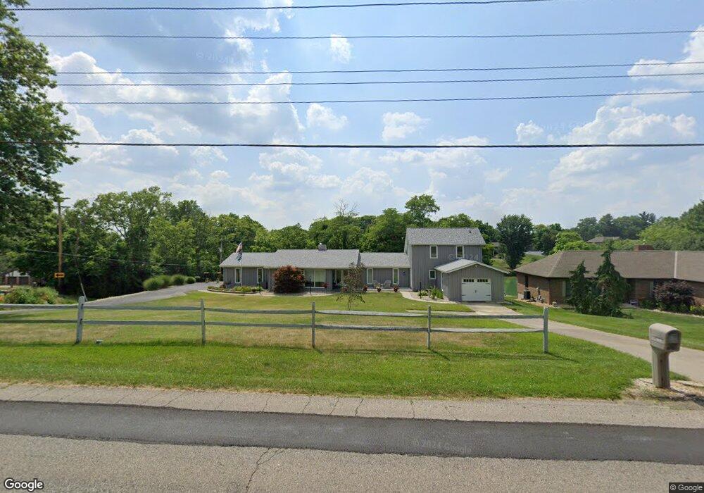
4619 Poole Rd Cincinnati, OH 45251
Estimated Value: $365,000 - $471,000
2
Beds
2
Baths
3,458
Sq Ft
$120/Sq Ft
Est. Value
About This Home
This home is located at 4619 Poole Rd, Cincinnati, OH 45251 and is currently estimated at $413,595, approximately $119 per square foot. 4619 Poole Rd is a home located in Hamilton County with nearby schools including Colerain Elementary School, Colerain Middle School, and Colerain High School.
Ownership History
Date
Name
Owned For
Owner Type
Purchase Details
Closed on
Mar 26, 2021
Sold by
Estate Of Wayne M Stewarl
Bought by
Stewart Elizabeth J
Current Estimated Value
Purchase Details
Closed on
Jul 3, 2008
Sold by
Estate Of Robert F Stewart
Bought by
Stewart Wayne M
Purchase Details
Closed on
Apr 27, 2007
Sold by
Estate Of Yvonne R Stewart
Bought by
Stewart Robert F
Create a Home Valuation Report for This Property
The Home Valuation Report is an in-depth analysis detailing your home's value as well as a comparison with similar homes in the area
Home Values in the Area
Average Home Value in this Area
Purchase History
| Date | Buyer | Sale Price | Title Company |
|---|---|---|---|
| Stewart Elizabeth J | -- | None Available | |
| Stewart Wayne M | -- | Attorney | |
| Stewart Robert F | -- | None Available |
Source: Public Records
Tax History
| Year | Tax Paid | Tax Assessment Tax Assessment Total Assessment is a certain percentage of the fair market value that is determined by local assessors to be the total taxable value of land and additions on the property. | Land | Improvement |
|---|---|---|---|---|
| 2025 | $7,647 | $142,783 | $14,280 | $128,503 |
| 2024 | $7,106 | $142,783 | $14,280 | $128,503 |
| 2023 | $7,185 | $142,783 | $14,280 | $128,503 |
| 2022 | $6,586 | $108,633 | $14,042 | $94,591 |
| 2021 | $6,528 | $108,633 | $14,042 | $94,591 |
| 2020 | $6,598 | $108,633 | $14,042 | $94,591 |
| 2019 | $5,899 | $92,061 | $11,900 | $80,161 |
| 2018 | $5,292 | $92,061 | $11,900 | $80,161 |
| 2017 | $5,012 | $92,061 | $11,900 | $80,161 |
| 2016 | $4,517 | $82,838 | $11,970 | $70,868 |
| 2015 | $4,563 | $82,838 | $11,970 | $70,868 |
| 2014 | $4,572 | $82,838 | $11,970 | $70,868 |
| 2013 | $4,607 | $87,199 | $12,600 | $74,599 |
Source: Public Records
Map
Nearby Homes
- 9136 Yellowwood Dr
- 3849 Woodsong Dr
- 9111 Cobblechase Ct
- 3760 Brockton Dr
- 8530 Wuest Rd
- 9388 Wilcox Dr
- 5658 Springdale Rd
- 5613 Old Blue Rock Rd
- 8747 Cheviot Rd
- 5667 Old Blue Rock Rd
- 3776 Sagebrush Ln
- 9126 Round Top Rd
- 9800 Regatta Dr
- 5778 Blue Rock Hill Rd
- 3724 Yellowstone Dr
- 3494 Poole Rd
- 9805 Regatta Dr
- 4210 Endeavor Dr
- 3663 Sandralin Dr
- 4221 Endeavor Dr
Your Personal Tour Guide
Ask me questions while you tour the home.