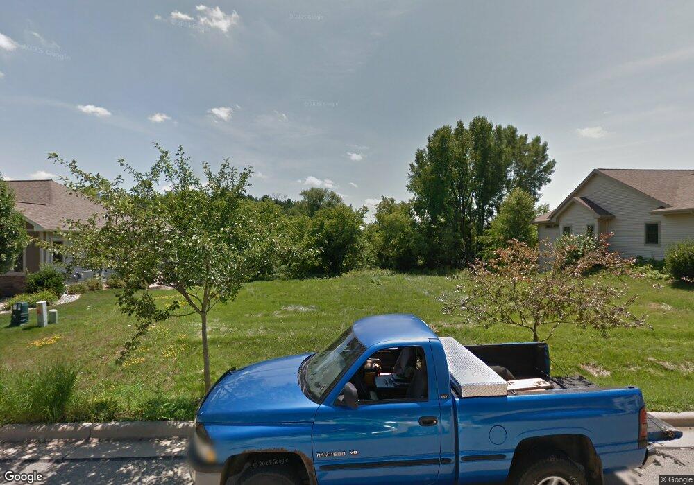
4619 Prairie Fire Ct Deforest, WI 53532
Estimated Value: $606,000 - $840,000
--
Bed
--
Bath
--
Sq Ft
0.31
Acres
About This Home
This home is located at 4619 Prairie Fire Ct, Deforest, WI 53532 and is currently estimated at $756,966. 4619 Prairie Fire Ct is a home with nearby schools including Windsor Elementary School, DeForest Middle School, and DeForest High School.
Ownership History
Date
Name
Owned For
Owner Type
Purchase Details
Closed on
Nov 28, 2016
Sold by
Adams Christopher W and Adams Traci R
Bought by
Adams Christopher W
Current Estimated Value
Purchase Details
Closed on
May 31, 2013
Sold by
Hawthorn Point Llc
Bought by
Adams Christopher W and Adams Traci R
Home Financials for this Owner
Home Financials are based on the most recent Mortgage that was taken out on this home.
Original Mortgage
$64,000
Outstanding Balance
$46,049
Interest Rate
3.75%
Mortgage Type
Adjustable Rate Mortgage/ARM
Estimated Equity
$710,917
Purchase Details
Closed on
Sep 12, 2005
Sold by
Bullish Investments Llc
Bought by
Hawthorn Point Llc
Create a Home Valuation Report for This Property
The Home Valuation Report is an in-depth analysis detailing your home's value as well as a comparison with similar homes in the area
Home Values in the Area
Average Home Value in this Area
Purchase History
| Date | Buyer | Sale Price | Title Company |
|---|---|---|---|
| Adams Christopher W | -- | None Available | |
| Adams Christopher W | $84,700 | None Available | |
| Hawthorn Point Llc | $119,800 | None Available |
Source: Public Records
Mortgage History
| Date | Status | Borrower | Loan Amount |
|---|---|---|---|
| Open | Adams Christopher W | $64,000 |
Source: Public Records
Tax History Compared to Growth
Tax History
| Year | Tax Paid | Tax Assessment Tax Assessment Total Assessment is a certain percentage of the fair market value that is determined by local assessors to be the total taxable value of land and additions on the property. | Land | Improvement |
|---|---|---|---|---|
| 2024 | $12,216 | $753,100 | $108,600 | $644,500 |
| 2023 | $11,275 | $660,400 | $108,600 | $551,800 |
| 2021 | $10,341 | $506,600 | $100,800 | $405,800 |
| 2020 | $10,341 | $486,100 | $100,800 | $385,300 |
| 2019 | $9,942 | $471,100 | $100,800 | $370,300 |
| 2018 | $9,372 | $450,400 | $100,800 | $349,600 |
| 2017 | $8,819 | $443,700 | $100,800 | $342,900 |
| 2016 | $8,910 | $443,700 | $100,800 | $342,900 |
| 2015 | $8,366 | $389,500 | $91,200 | $298,300 |
| 2014 | $8,224 | $389,500 | $84,700 | $304,800 |
| 2013 | $2,413 | $84,700 | $84,700 | $0 |
Source: Public Records
Map
Nearby Homes
- 4813 Innovation Dr
- 4817 Innovation Dr
- 4868 Innovation Dr
- 6520 Trails Edge Ct
- 6843 Yellowwood Ln
- 6783 Village Walk Ln Unit 51
- 6783 Bootmaker Way
- 6890 Tuscan Ridge Cir
- 6898 Tuscan Ridge Cir Unit 2
- 7710 Larkspur Ln
- 6701 Conservancy Plaza
- Unit 3.4 Bellflower Dr
- Unit 3.2 Bellflower Dr
- Unit 3.1 Bellflower Dr
- L207 Stonecrop Way
- 4237 Cortland Ct
- 6743 Depot St
- 7698 Stonecrop Way
- 7707 Stonecrop Way
- 7701 Stonecrop Way
- 4623 Prairie Fire Ct
- 4615 Prairie Fire Ct
- Lot 55 Prairie Fire Ct
- 4627 Prairie Fire Ct
- 4622 Prairie Fire Ct
- 4611 Prairie Fire Ct
- 4626 Prairie Fire Ct
- 4618 Prairie Fire Ct
- 4631 Prairie Fire Ct
- 4607 Prairie Fire Ct
- 4614 Prairie Fire Ct
- 4630 Prairie Fire Ct
- 4635 Prairie Fire Ct
- 4634 Prairie Fire Ct
- 4610 Prairie Fire Ct
- 4603 Prairie Fire Ct
- 4639 Prairie Fire Ct
- 4627 Sunburst Dr
- 4631 Sunburst Dr
- 4599 Prairie Fire Ct
