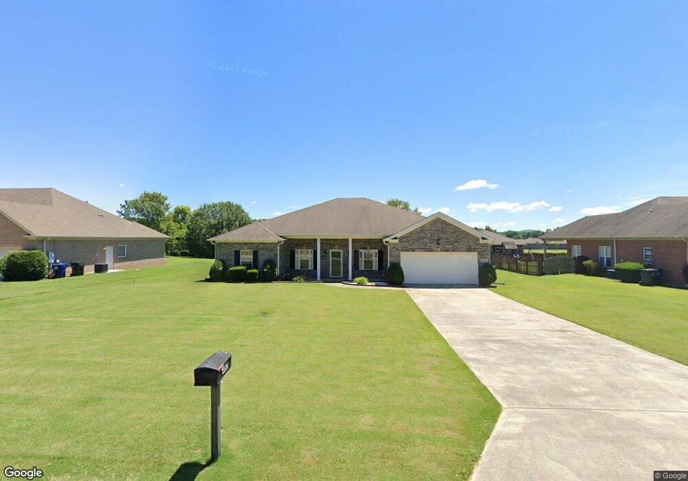
462 Bell Cir Huntsville, AL 35811
Ryland NeighborhoodEstimated Value: $346,000 - $405,147
4
Beds
2
Baths
2,523
Sq Ft
$151/Sq Ft
Est. Value
About This Home
This home is located at 462 Bell Cir, Huntsville, AL 35811 and is currently estimated at $381,037, approximately $151 per square foot. 462 Bell Cir is a home located in Madison County with nearby schools including Mt Carmel Elementary School, Riverton Intermediate School, and Buckhorn Middle School.
Ownership History
Date
Name
Owned For
Owner Type
Purchase Details
Closed on
Mar 20, 2009
Sold by
Colonial Bank Na
Bought by
Turman Arthur L and Turman Debra
Current Estimated Value
Home Financials for this Owner
Home Financials are based on the most recent Mortgage that was taken out on this home.
Original Mortgage
$186,558
Outstanding Balance
$118,626
Interest Rate
5.13%
Mortgage Type
FHA
Estimated Equity
$262,411
Purchase Details
Closed on
Jan 11, 2006
Sold by
Cdb Llc
Bought by
Colonial Bank Na
Create a Home Valuation Report for This Property
The Home Valuation Report is an in-depth analysis detailing your home's value as well as a comparison with similar homes in the area
Home Values in the Area
Average Home Value in this Area
Purchase History
| Date | Buyer | Sale Price | Title Company |
|---|---|---|---|
| Turman Arthur L | -- | -- | |
| Colonial Bank Na | $186,400 | -- |
Source: Public Records
Mortgage History
| Date | Status | Borrower | Loan Amount |
|---|---|---|---|
| Open | Turman Arthur L | $186,558 |
Source: Public Records
Tax History Compared to Growth
Tax History
| Year | Tax Paid | Tax Assessment Tax Assessment Total Assessment is a certain percentage of the fair market value that is determined by local assessors to be the total taxable value of land and additions on the property. | Land | Improvement |
|---|---|---|---|---|
| 2024 | $1,130 | $31,740 | $5,000 | $26,740 |
| 2023 | $1,096 | $31,740 | $5,000 | $26,740 |
| 2022 | $1,020 | $29,680 | $5,000 | $24,680 |
| 2021 | $847 | $24,780 | $3,000 | $21,780 |
| 2020 | $768 | $22,600 | $3,000 | $19,600 |
| 2019 | $702 | $20,800 | $3,000 | $17,800 |
| 2018 | $673 | $20,000 | $0 | $0 |
| 2017 | $536 | $16,260 | $0 | $0 |
| 2016 | $536 | $16,260 | $0 | $0 |
| 2015 | $536 | $16,260 | $0 | $0 |
| 2014 | $557 | $16,820 | $0 | $0 |
Source: Public Records
Map
Nearby Homes
- 204 Paca Ln
- 228 Exeter St
- 232 Exeter St
- 300 Pond Spring Dr
- 301 Pond Spring Dr
- 303 Pond Spring Dr
- 230 Exeter St
- 108 Brookes Landing Dr
- 107 Genesis Dr
- 86+ Acres Jordan Rd
- 107 Eden Ln
- 117 Genesis Dr
- 206 Antler Ridge Dr
- 232 Antler Ridge Dr
- 109 Oldwood Rd
- 2387 Highway 72 E
- 115 Somer Creek Ln
- 106 Shields Lake Dr
- 213 Somer Bridge Dr
- 118 Sydney St
- 232 Pennington Ave
- 470 Bell Cir
- 122 Brookslanding Dr
- 124 Brookslanding Dr
- 446 Bell Cir
- 478 Bell Cir
- 120 Brookslanding Dr
- 126 Brookslanding Dr
- 118 Brookslanding Dr
- 486 Bell Cir
- 438 Bell Cir
- 467 Bell Cir
- 433 Bell Cir
- 116 Brookslanding Dr
- 128 Brookslanding Dr
- 101 Maggie Bell Ln
- 125 Brookslanding Dr
- 493 Bell Cir
- 494 Bell Cir
- 127 Brookslanding Dr