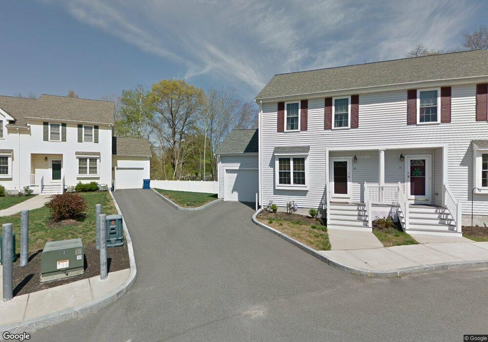
462 Court St Unit 5 Brockton, MA 02302
Estimated Value: $360,000 - $430,000
2
Beds
2
Baths
1,350
Sq Ft
$295/Sq Ft
Est. Value
About This Home
This home is located at 462 Court St Unit 5, Brockton, MA 02302 and is currently estimated at $398,354, approximately $295 per square foot. 462 Court St Unit 5 is a home located in Plymouth County with nearby schools including Arnone Elementary School, Joseph F. Plouffe Middle School, and Brockton Area Seventh-Day Adventist Academy.
Ownership History
Date
Name
Owned For
Owner Type
Purchase Details
Closed on
Feb 26, 2022
Sold by
West Maureen
Bought by
West Maureen and West Kevin R
Current Estimated Value
Home Financials for this Owner
Home Financials are based on the most recent Mortgage that was taken out on this home.
Original Mortgage
$25,000
Outstanding Balance
$16,883
Interest Rate
3.69%
Mortgage Type
Credit Line Revolving
Estimated Equity
$381,471
Purchase Details
Closed on
Aug 31, 2007
Sold by
Manor At Court Street and Vlaco John B
Bought by
Shyne Maureen T
Home Financials for this Owner
Home Financials are based on the most recent Mortgage that was taken out on this home.
Original Mortgage
$241,142
Interest Rate
6.71%
Mortgage Type
Purchase Money Mortgage
Create a Home Valuation Report for This Property
The Home Valuation Report is an in-depth analysis detailing your home's value as well as a comparison with similar homes in the area
Home Values in the Area
Average Home Value in this Area
Purchase History
| Date | Buyer | Sale Price | Title Company |
|---|---|---|---|
| West Maureen | -- | None Available | |
| West Maureen | -- | None Available | |
| Shyne Maureen T | $248,600 | -- | |
| Shyne Maureen T | $248,600 | -- |
Source: Public Records
Mortgage History
| Date | Status | Borrower | Loan Amount |
|---|---|---|---|
| Open | West Maureen | $25,000 | |
| Closed | West Maureen | $25,000 | |
| Previous Owner | Shyne Maureen T | $241,142 | |
| Previous Owner | Shyne Maureen T | $7,458 |
Source: Public Records
Tax History Compared to Growth
Tax History
| Year | Tax Paid | Tax Assessment Tax Assessment Total Assessment is a certain percentage of the fair market value that is determined by local assessors to be the total taxable value of land and additions on the property. | Land | Improvement |
|---|---|---|---|---|
| 2025 | $4,006 | $330,800 | $0 | $330,800 |
| 2024 | $3,975 | $330,700 | $0 | $330,700 |
| 2023 | $3,845 | $296,200 | $0 | $296,200 |
| 2022 | $3,594 | $257,300 | $0 | $257,300 |
| 2021 | $3,484 | $240,300 | $0 | $240,300 |
| 2020 | $3,538 | $233,500 | $0 | $233,500 |
| 2019 | $2,954 | $190,100 | $0 | $190,100 |
| 2018 | $2,531 | $165,500 | $0 | $165,500 |
| 2017 | $2,531 | $157,200 | $0 | $157,200 |
| 2016 | $2,844 | $163,820 | $0 | $163,820 |
| 2015 | $2,591 | $142,770 | $0 | $142,770 |
| 2014 | $2,465 | $135,970 | $0 | $135,970 |
Source: Public Records
Map
Nearby Homes
- 462 Court St Unit 16
- 462 Court St Unit 15
- 462 Court St Unit 14
- 462 Court St Unit 13
- 462 Court St Unit 12
- 462 Court St Unit 11
- 462 Court St Unit 10
- 462 Court St Unit 9
- 462 Court St Unit 8
- 462 Court St Unit 7
- 462 Court St Unit 6
- 462 Court St Unit 4
- 462 Court St Unit 3
- 462 Court St Unit 2
- 462 Court St Unit 1
- 467 Court St
- 479 Court St
- 20 Ida Ave
- 11 Ida Ave
- 487 Court St