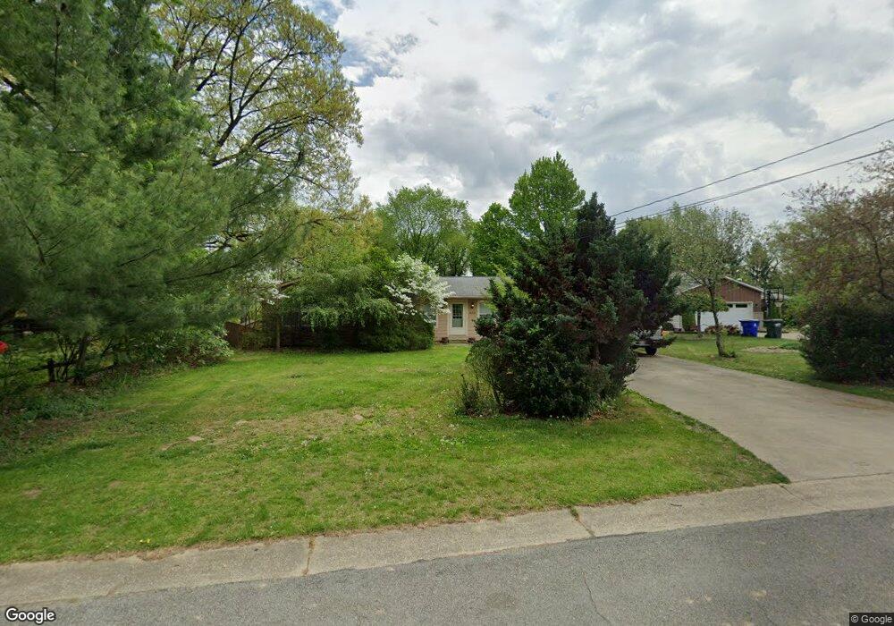
462 Cresthill Dr Mogadore, OH 44260
Estimated Value: $242,774 - $266,000
3
Beds
2
Baths
1,349
Sq Ft
$191/Sq Ft
Est. Value
About This Home
This home is located at 462 Cresthill Dr, Mogadore, OH 44260 and is currently estimated at $257,694, approximately $191 per square foot. 462 Cresthill Dr is a home located in Portage County with nearby schools including Suffield Elementary School, Field Middle School, and Field High School.
Ownership History
Date
Name
Owned For
Owner Type
Purchase Details
Closed on
Sep 5, 2019
Sold by
Hall David L and Hall Monica L
Bought by
Lee Layne Properties Llc
Current Estimated Value
Purchase Details
Closed on
May 12, 2008
Sold by
Hilton Charles E and Us Bank Na
Bought by
Hall David L and Hall Monica L
Purchase Details
Closed on
Aug 1, 2003
Sold by
Warman Margaret R and Warman Dale
Bought by
Hilton Charles E and Hilton Cheryl L
Home Financials for this Owner
Home Financials are based on the most recent Mortgage that was taken out on this home.
Original Mortgage
$101,915
Interest Rate
7.75%
Mortgage Type
Purchase Money Mortgage
Purchase Details
Closed on
Jan 1, 1990
Bought by
Warman Margaret R
Create a Home Valuation Report for This Property
The Home Valuation Report is an in-depth analysis detailing your home's value as well as a comparison with similar homes in the area
Purchase History
| Date | Buyer | Sale Price | Title Company |
|---|---|---|---|
| Lee Layne Properties Llc | -- | None Available | |
| Hall David L | $101,900 | None Available | |
| Hilton Charles E | $159,866 | Midland Title Security Inc | |
| Warman Margaret R | -- | -- |
Source: Public Records
Mortgage History
| Date | Status | Borrower | Loan Amount |
|---|---|---|---|
| Previous Owner | Hilton Charles E | $101,915 | |
| Closed | Hilton Charles E | $11,990 |
Source: Public Records
Tax History
| Year | Tax Paid | Tax Assessment Tax Assessment Total Assessment is a certain percentage of the fair market value that is determined by local assessors to be the total taxable value of land and additions on the property. | Land | Improvement |
|---|---|---|---|---|
| 2025 | $3,077 | $69,030 | $10,750 | $58,280 |
| 2024 | $2,816 | $69,030 | $10,750 | $58,280 |
| 2023 | $2,592 | $51,800 | $8,330 | $43,470 |
| 2022 | $2,592 | $51,800 | $8,330 | $43,470 |
| 2021 | $2,579 | $51,800 | $8,330 | $43,470 |
| 2020 | $2,441 | $44,560 | $8,330 | $36,230 |
| 2019 | $2,450 | $44,560 | $8,330 | $36,230 |
| 2018 | $1,739 | $37,660 | $7,420 | $30,240 |
| 2017 | $1,739 | $37,660 | $7,420 | $30,240 |
| 2016 | $1,723 | $37,660 | $7,420 | $30,240 |
| 2015 | $1,724 | $37,660 | $7,420 | $30,240 |
| 2014 | $1,679 | $37,660 | $7,420 | $30,240 |
| 2013 | $1,666 | $37,660 | $7,420 | $30,240 |
Source: Public Records
Map
Nearby Homes
- 800 Martin Rd
- 0 Pontius Rd Unit 5163828
- 2021 Portage Line Rd
- VL 863 State Route 43
- 13152 Kaufman Ave NW
- S/L 38 1150 Lakeview Dr
- S/L 11 959 Sunrise Dr
- 13356 Mogadore Ave NW
- 13458 Theeland Ave NW
- 12714 Potomac Place NW Unit 7A
- 13100 Market Ave N
- 2898 Canton Rd
- 3290 Sweitzer St NW
- 13526 Glenvale Ave NW
- 3411 Sweitzer St NW
- 13675 Cleveland Ave NW Unit 41
- 3101 N Jackson Blvd
- 3362 Brentwood Dr
- 1830 B St
- 827 Colesbourne Cir
- 452 Cresthill Dr
- 472 Crest Dr
- 444 Cresthill Dr
- 604 Crest Dr
- 471 Cresthill Dr
- 463 Valley Crest Dr
- 451 Valley Crest Dr
- 443 Cresthill Dr
- 451 Cresthill Dr
- 440 Cresthill Dr
- 439 Valley Crest Dr
- 584 Crest Dr
- 610 Crest Dr
- 487 Valley Crest Dr
- 436 Valley Crest Dr
- 603 Crest Dr
- 593 Crest Dr
- 579 Crest Dr
- 499 Valley Crest Dr
- 460 Valley Crest Dr
Your Personal Tour Guide
Ask me questions while you tour the home.