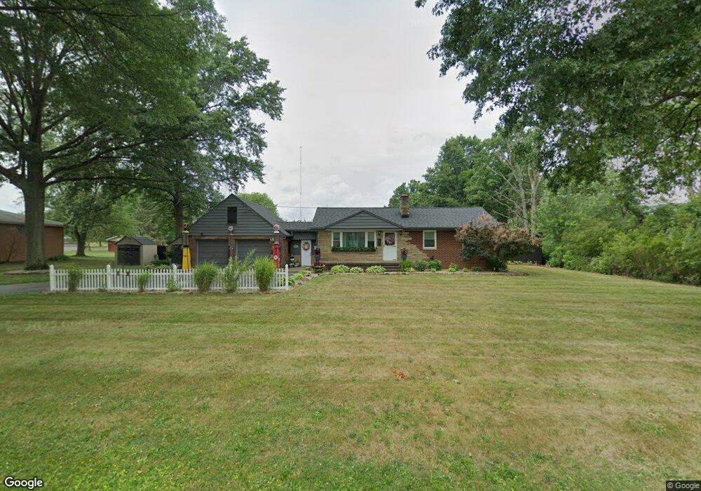
462 Klinger Ave Alliance, OH 44601
Estimated Value: $184,000 - $222,000
3
Beds
3
Baths
960
Sq Ft
$210/Sq Ft
Est. Value
About This Home
This home is located at 462 Klinger Ave, Alliance, OH 44601 and is currently estimated at $201,645, approximately $210 per square foot. 462 Klinger Ave is a home located in Stark County with nearby schools including Marlington High School and Regina Coeli/St Joseph School.
Ownership History
Date
Name
Owned For
Owner Type
Purchase Details
Closed on
May 14, 2025
Sold by
Vance William J
Bought by
Vance William J and Vance Michelle L
Current Estimated Value
Purchase Details
Closed on
Jul 2, 2010
Sold by
Oblisk Leanna and Oblisk Arthur
Bought by
Vance William J
Home Financials for this Owner
Home Financials are based on the most recent Mortgage that was taken out on this home.
Original Mortgage
$83,870
Interest Rate
4.86%
Mortgage Type
FHA
Purchase Details
Closed on
May 23, 1991
Create a Home Valuation Report for This Property
The Home Valuation Report is an in-depth analysis detailing your home's value as well as a comparison with similar homes in the area
Purchase History
| Date | Buyer | Sale Price | Title Company |
|---|---|---|---|
| Vance William J | -- | None Listed On Document | |
| Vance William J | $85,000 | Attorney | |
| -- | $58,000 | -- |
Source: Public Records
Mortgage History
| Date | Status | Borrower | Loan Amount |
|---|---|---|---|
| Previous Owner | Vance William J | $83,870 |
Source: Public Records
Tax History
| Year | Tax Paid | Tax Assessment Tax Assessment Total Assessment is a certain percentage of the fair market value that is determined by local assessors to be the total taxable value of land and additions on the property. | Land | Improvement |
|---|---|---|---|---|
| 2025 | -- | $61,740 | $23,870 | $37,870 |
| 2024 | -- | $61,740 | $23,870 | $37,870 |
| 2023 | $1,565 | $44,420 | $16,800 | $27,620 |
| 2022 | $1,570 | $44,420 | $16,800 | $27,620 |
| 2021 | $1,575 | $44,420 | $16,800 | $27,620 |
| 2020 | $1,482 | $37,240 | $14,490 | $22,750 |
| 2019 | $1,472 | $37,250 | $14,490 | $22,760 |
| 2018 | $1,474 | $37,250 | $14,490 | $22,760 |
| 2017 | $1,265 | $29,930 | $9,590 | $20,340 |
| 2016 | $1,101 | $26,050 | $9,590 | $16,460 |
| 2015 | $1,049 | $26,050 | $9,590 | $16,460 |
| 2014 | $1,166 | $26,470 | $9,770 | $16,700 |
| 2013 | $580 | $26,470 | $9,770 | $16,700 |
Source: Public Records
Map
Nearby Homes
- 432 Johnson Ave
- 550 Johnson Ave
- 347 Buckeye Ave
- 000 Meadowbrook Ave
- 160 Bonnieview Ave
- 0 Meadowbrook Ave
- 11335 Meadowbrook Ave NE
- 0 Homestead Ave NE
- 0 W Main St Unit 5090123
- 118 S Mckinley Ave
- 479 W High St
- 717 Garfield Ave
- 664 Fairview Place
- 264 W Market St
- 171 1/2 W Main St
- 535 S Mckinley Ave
- 163 W Market St
- 10580 Heltman Ave NE
- 0 Meadow St NE
- 228 W Oxford St
- 436 Klinger Ave
- 1310,1330,1350 Mishler St NE
- 465 Klinger Ave
- 420 Klinger Ave
- 435 Klinger Ave
- 400 Klinger Ave
- 1311 Mishler Ave
- 1370 Mishler St NE
- 425 Klinger Ave
- 1331 Mishler Ave
- 532 Ashland Ave
- 1351 Mishler Ave
- 1370 Mishler Ave
- 368 Klinger Ave
- 615 Klinger Ave
- 365 Klinger Ave
- 1371 Mishler St NE
- 630 Klinger Ave
- 508 Buckeye Ave
- 1410 Mishler Ave
Your Personal Tour Guide
Ask me questions while you tour the home.