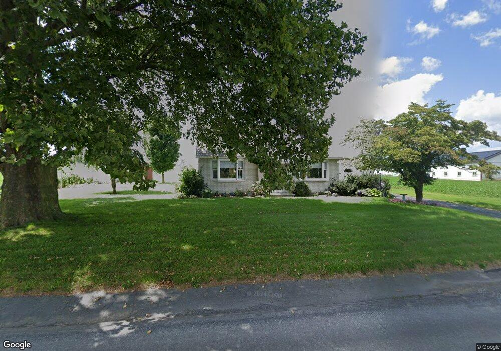
462 Mill Creek Rd Bird In Hand, PA 17505
Estimated Value: $363,000 - $426,000
3
Beds
2
Baths
1,610
Sq Ft
$238/Sq Ft
Est. Value
About This Home
This home is located at 462 Mill Creek Rd, Bird In Hand, PA 17505 and is currently estimated at $383,298, approximately $238 per square foot. 462 Mill Creek Rd is a home located in Lancaster County with nearby schools including Leola Elementary School, Gerald G. Huesken Middle School, and Conestoga Valley High School.
Ownership History
Date
Name
Owned For
Owner Type
Purchase Details
Closed on
Jun 4, 2012
Sold by
Lefever Jeffery L and Lefever Lisa A
Bought by
Blank Paul I and Blank Gloria J
Current Estimated Value
Purchase Details
Closed on
Aug 31, 2000
Sold by
Bare Marian S
Bought by
Lefever Jeffrey L and Lefever Lisa A
Home Financials for this Owner
Home Financials are based on the most recent Mortgage that was taken out on this home.
Original Mortgage
$50,000
Interest Rate
8.16%
Create a Home Valuation Report for This Property
The Home Valuation Report is an in-depth analysis detailing your home's value as well as a comparison with similar homes in the area
Home Values in the Area
Average Home Value in this Area
Purchase History
| Date | Buyer | Sale Price | Title Company |
|---|---|---|---|
| Blank Paul I | $187,000 | None Available | |
| Lefever Jeffrey L | $90,000 | -- |
Source: Public Records
Mortgage History
| Date | Status | Borrower | Loan Amount |
|---|---|---|---|
| Previous Owner | Lefever Jeffrey L | $50,000 |
Source: Public Records
Tax History Compared to Growth
Tax History
| Year | Tax Paid | Tax Assessment Tax Assessment Total Assessment is a certain percentage of the fair market value that is determined by local assessors to be the total taxable value of land and additions on the property. | Land | Improvement |
|---|---|---|---|---|
| 2025 | $4,087 | $204,500 | $64,600 | $139,900 |
| 2024 | $4,087 | $204,500 | $64,600 | $139,900 |
| 2023 | $4,002 | $204,500 | $64,600 | $139,900 |
| 2022 | $3,902 | $204,500 | $64,600 | $139,900 |
| 2021 | $3,763 | $204,500 | $64,600 | $139,900 |
| 2020 | $3,763 | $204,500 | $64,600 | $139,900 |
| 2019 | $3,681 | $204,500 | $64,600 | $139,900 |
| 2018 | $5,478 | $204,500 | $64,600 | $139,900 |
| 2017 | $3,123 | $144,200 | $31,400 | $112,800 |
| 2016 | $3,080 | $144,200 | $31,400 | $112,800 |
| 2015 | $784 | $144,200 | $31,400 | $112,800 |
| 2014 | $2,139 | $144,200 | $31,400 | $112,800 |
Source: Public Records
Map
Nearby Homes
- 425 Mill Creek Rd
- 103 Fairhill Dr
- 339 Enterprise Dr
- 2498 Old Philadelphia Park
- 2596 Old Philadelphia Pike
- 323 Enterprise Dr
- 2453 Lincoln Hwy E
- 70 Hellers Church Rd
- 7 Pleasant Dr
- 71 Apricot Ave
- 68 Horseshoe Rd
- 259 Raspberry Rd
- 466 Eastwood Ln
- 403 Eastwood Ln
- 33 Black Oak Dr
- 37 Black Oak Dr
- 347 Greenland Dr
- 305 Greenland Dr Unit 385
- 1999 Old Philadelphia Pike
- 71 Black Oak Dr Unit 71
- 453 Mill Creek Rd
- 557 Beechdale Rd
- 433 Mill Creek Rd
- 520 Beechdale Rd
- 422 Mill Creek Rd
- 419 Mill Creek Rd
- 514 Beechdale Rd
- 2434 Stumptown Rd
- 416 Mill Creek Rd
- 2605 Stumptown Rd
- 533 Beechdale Rd
- 458 Beechdale Rd
- 2601 Stumptown Rd
- 410 Mill Creek Rd
- 2430 Stumptown Rd
- 519 Beechdale Rd
- 2428 Stumptown Rd
- 2426 Stumptown Rd
- 2418 Stumptown Rd
- 2422 Stumptown Rd