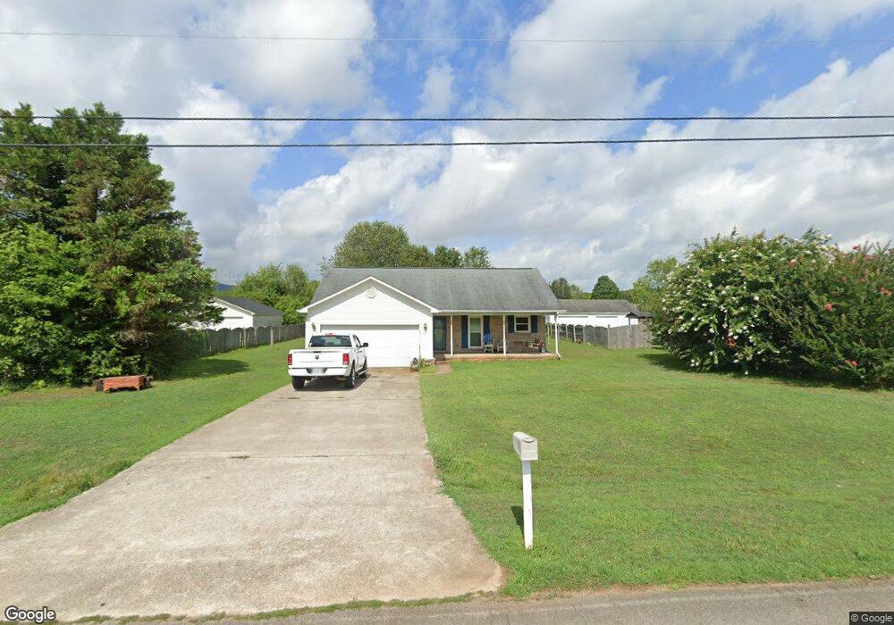
462 Moontown Rd Huntsville, AL 35811
Ryland NeighborhoodEstimated Value: $212,000 - $231,000
--
Bed
--
Bath
1,138
Sq Ft
$194/Sq Ft
Est. Value
About This Home
This home is located at 462 Moontown Rd, Huntsville, AL 35811 and is currently estimated at $221,279, approximately $194 per square foot. 462 Moontown Rd is a home with nearby schools including Central School and Madison County High School.
Ownership History
Date
Name
Owned For
Owner Type
Purchase Details
Closed on
Jun 19, 2024
Sold by
Gannaway Edward
Bought by
Edward Gannaway Living Trust and Gannaway
Current Estimated Value
Purchase Details
Closed on
May 31, 2006
Sold by
Turner Cadena D
Bought by
Gannaway Edward
Home Financials for this Owner
Home Financials are based on the most recent Mortgage that was taken out on this home.
Original Mortgage
$96,805
Interest Rate
6.44%
Mortgage Type
New Conventional
Create a Home Valuation Report for This Property
The Home Valuation Report is an in-depth analysis detailing your home's value as well as a comparison with similar homes in the area
Home Values in the Area
Average Home Value in this Area
Purchase History
| Date | Buyer | Sale Price | Title Company |
|---|---|---|---|
| Edward Gannaway Living Trust | $133,250 | None Listed On Document | |
| Edward Gannaway Living Trust | $133,250 | None Listed On Document | |
| Gannaway Edward | -- | -- |
Source: Public Records
Mortgage History
| Date | Status | Borrower | Loan Amount |
|---|---|---|---|
| Previous Owner | Gannaway Edward | $96,805 |
Source: Public Records
Tax History Compared to Growth
Tax History
| Year | Tax Paid | Tax Assessment Tax Assessment Total Assessment is a certain percentage of the fair market value that is determined by local assessors to be the total taxable value of land and additions on the property. | Land | Improvement |
|---|---|---|---|---|
| 2024 | $561 | $16,940 | $3,000 | $13,940 |
| 2023 | $561 | $16,940 | $3,000 | $13,940 |
| 2022 | $501 | $15,300 | $3,000 | $12,300 |
| 2021 | $448 | $13,840 | $3,000 | $10,840 |
| 2020 | $477 | $14,630 | $3,000 | $11,630 |
| 2019 | $458 | $14,110 | $3,000 | $11,110 |
| 2018 | $439 | $13,580 | $0 | $0 |
| 2017 | $428 | $13,280 | $0 | $0 |
| 2016 | $428 | $13,280 | $0 | $0 |
| 2015 | $428 | $13,280 | $0 | $0 |
| 2014 | $423 | $13,160 | $0 | $0 |
Source: Public Records
Map
Nearby Homes
- 477 Moontown Rd
- 506 Moontown Rd
- 123 Delta Pine Dr
- 113 Delta Pine Dr
- 111 Cool Cir
- 362 Moontown Rd
- 233 Oakland View Dr
- 151 Cooper Dr
- 230 Oakland View Dr
- 224 Oakland View Dr
- 205 Oakland View Dr
- 220 Oakland View Dr
- 227 Midland Dr
- 3608 Maysville Rd NE
- 403 Ryland Pike
- PPin#507136 Moontown Rd
- 1519 Ryland Pike
- 109 Jones Cir
- 136 Petty Ln
- TBD Petty Ln
- 454 Moontown Rd
- 468 Moontown Rd
- 476 Moontown Rd
- 446 Moontown Rd
- 193 Bonaire Dr
- 191 Bonaire Dr
- 463 Moontown Rd
- 195 Bonaire Dr
- 189 Bonaire Dr
- 104 Country Charm Ln
- 445 Moontown Rd
- 187 Bonaire Dr
- 490 Moontown Rd
- 434 Moontown Rd
- 105 Country Charm Ln
- 433 Moontown Rd
- 192 Bonaire Dr
- 185 Bonaire Dr
- 498 Moontown Rd
- 428 Moontown Rd