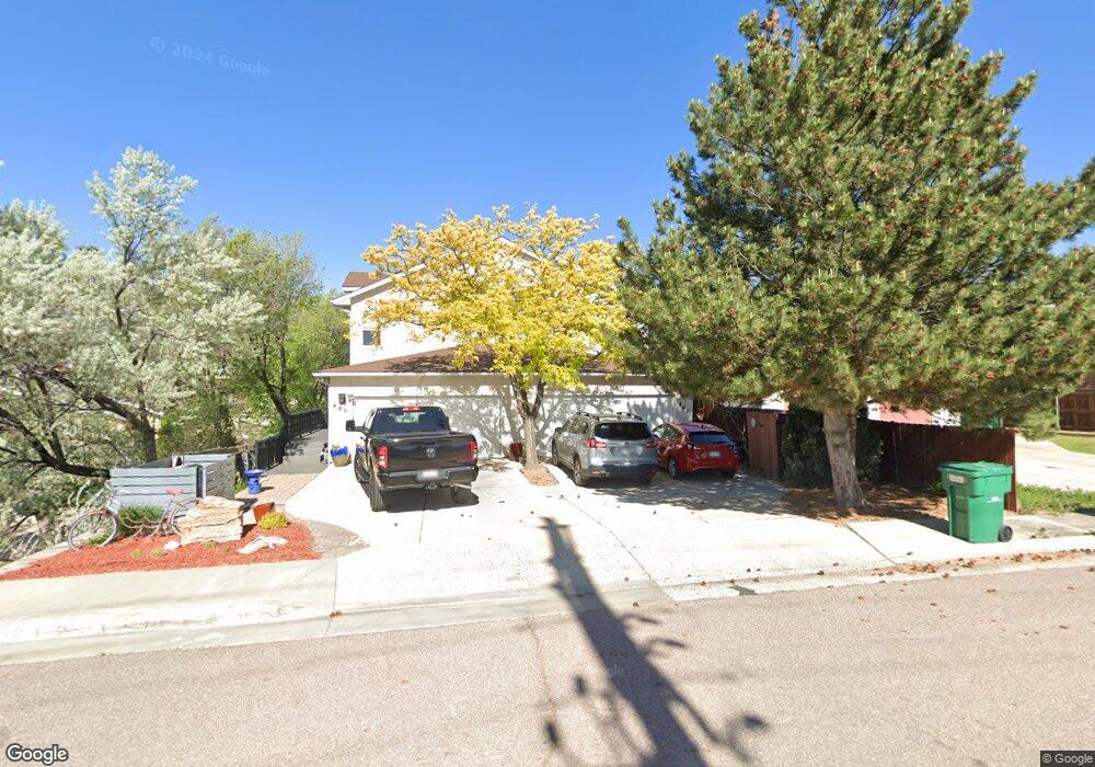
462 N Limit St Colorado Springs, CO 80904
Westside NeighborhoodEstimated Value: $459,122 - $516,000
2
Beds
3
Baths
1,441
Sq Ft
$337/Sq Ft
Est. Value
About This Home
This home is located at 462 N Limit St, Colorado Springs, CO 80904 and is currently estimated at $486,031, approximately $337 per square foot. 462 N Limit St is a home located in El Paso County with nearby schools including Bristol Elementary, School of the Arts and STEM, Holmes Middle School, and Coronado High School.
Ownership History
Date
Name
Owned For
Owner Type
Purchase Details
Closed on
Mar 26, 2004
Sold by
Fincham Ronald L and Fincham Margarita M
Bought by
Mans Martha L
Current Estimated Value
Home Financials for this Owner
Home Financials are based on the most recent Mortgage that was taken out on this home.
Original Mortgage
$110,000
Outstanding Balance
$51,692
Interest Rate
5.64%
Mortgage Type
Unknown
Estimated Equity
$434,339
Purchase Details
Closed on
Oct 24, 2003
Sold by
Fincham Stephen A and Fincham Ronald L
Bought by
Fincham Ronald L and Fincham Margarita M
Home Financials for this Owner
Home Financials are based on the most recent Mortgage that was taken out on this home.
Original Mortgage
$85,000
Interest Rate
4.12%
Mortgage Type
Unknown
Create a Home Valuation Report for This Property
The Home Valuation Report is an in-depth analysis detailing your home's value as well as a comparison with similar homes in the area
Home Values in the Area
Average Home Value in this Area
Purchase History
| Date | Buyer | Sale Price | Title Company |
|---|---|---|---|
| Mans Martha L | $195,000 | Empire Title & Escrow | |
| Fincham Ronald L | -- | Stewart Title Of Colorado Sp |
Source: Public Records
Mortgage History
| Date | Status | Borrower | Loan Amount |
|---|---|---|---|
| Open | Mans Martha L | $110,000 | |
| Previous Owner | Fincham Ronald L | $85,000 |
Source: Public Records
Tax History Compared to Growth
Tax History
| Year | Tax Paid | Tax Assessment Tax Assessment Total Assessment is a certain percentage of the fair market value that is determined by local assessors to be the total taxable value of land and additions on the property. | Land | Improvement |
|---|---|---|---|---|
| 2025 | $1,570 | $32,580 | -- | -- |
| 2024 | $1,088 | $32,670 | $4,580 | $28,090 |
| 2022 | $887 | $22,800 | $3,170 | $19,630 |
| 2021 | $962 | $23,450 | $3,260 | $20,190 |
| 2020 | $1,340 | $19,740 | $2,770 | $16,970 |
| 2019 | $1,333 | $19,740 | $2,770 | $16,970 |
| 2018 | $1,175 | $16,020 | $2,560 | $13,460 |
| 2017 | $1,113 | $16,020 | $2,560 | $13,460 |
| 2016 | $951 | $16,400 | $2,830 | $13,570 |
| 2015 | $947 | $16,400 | $2,830 | $13,570 |
| 2014 | $977 | $16,240 | $2,550 | $13,690 |
Source: Public Records
Map
Nearby Homes
- 1345 Talley Cir
- 1355 Talley Cir
- 1375 Talley Cir
- 1365 Talley Cir
- 585 Observatory Dr Unit 2F
- 1502 Manitou Blvd
- 660 Pony Ln
- 1522 Manitou Blvd
- 321 Graceland Grove
- 135 Helena Ln
- 23 N 15th St
- 1509 W Platte Ave
- 119 Helena Ln
- 549 W Dale St Unit 569
- 708 Cooper Ave
- 546 W Saint Vrain St
- 1531 W Bijou St
- 1315 W Kiowa St
- 427 N Chestnut St
- 1411 W Kiowa St
- 460 N Limit St
- 470 N Limit St
- 480 N Limit St
- 583 Observatory Dr
- 581 Observatory Dr Unit 2D
- 575 Observatory Dr Unit A
- 589 Observatory Dr Unit 1B
- 579 Observatory Dr Unit 2C
- 591 Observatory Dr
- 587 Observatory Dr Unit A
- 577 Observatory Dr
- 806 Manitou Blvd
- 597 Observatory Dr Unit 1F
- 595 Observatory Dr Unit 1E
- 593 Observatory Dr Unit 1D
- 800 Manitou Blvd
- 1310 Talley Cir
- 1320 Talley Cir
- 1322 Talley Cir
- 1330 Talley Cir