462 N Sperry St Bushnell, IL 61422
Estimated Value: $53,000 - $72,178
3
Beds
--
Bath
876
Sq Ft
$73/Sq Ft
Est. Value
About This Home
This home is located at 462 N Sperry St, Bushnell, IL 61422 and is currently estimated at $64,045, approximately $73 per square foot. 462 N Sperry St is a home located in McDonough County with nearby schools including Bushnell-Prairie City Elementary School, Bushnell-Prairie City Junior High School, and Bushnell-Prairie City High School.
Ownership History
Date
Name
Owned For
Owner Type
Purchase Details
Closed on
Jan 28, 2011
Sold by
Klinedinst Luther L and Klinedinst Nina
Bought by
Klinedinst Kevin R and Klinedinst Tamera K
Current Estimated Value
Home Financials for this Owner
Home Financials are based on the most recent Mortgage that was taken out on this home.
Original Mortgage
$62,400
Interest Rate
4.84%
Mortgage Type
Purchase Money Mortgage
Create a Home Valuation Report for This Property
The Home Valuation Report is an in-depth analysis detailing your home's value as well as a comparison with similar homes in the area
Home Values in the Area
Average Home Value in this Area
Purchase History
| Date | Buyer | Sale Price | Title Company |
|---|---|---|---|
| Klinedinst Kevin R | -- | None Available |
Source: Public Records
Mortgage History
| Date | Status | Borrower | Loan Amount |
|---|---|---|---|
| Closed | Klinedinst Kevin R | $62,400 |
Source: Public Records
Tax History Compared to Growth
Tax History
| Year | Tax Paid | Tax Assessment Tax Assessment Total Assessment is a certain percentage of the fair market value that is determined by local assessors to be the total taxable value of land and additions on the property. | Land | Improvement |
|---|---|---|---|---|
| 2024 | $1,148 | $20,486 | $2,045 | $18,441 |
| 2023 | $1,097 | $20,269 | $2,023 | $18,246 |
| 2022 | $929 | $18,323 | $1,829 | $16,494 |
| 2021 | $861 | $17,542 | $1,751 | $15,791 |
| 2020 | $861 | $19,020 | $1,726 | $17,294 |
| 2019 | $927 | $18,020 | $1,798 | $16,222 |
| 2018 | $928 | $18,398 | $1,836 | $16,562 |
| 2017 | $929 | $18,135 | $1,810 | $16,325 |
| 2016 | $817 | $16,769 | $1,674 | $15,095 |
| 2015 | $1,017 | $16,769 | $1,674 | $15,095 |
| 2014 | $1,068 | $16,513 | $1,648 | $14,865 |
| 2013 | $1,582 | $17,836 | $1,780 | $16,056 |
Source: Public Records
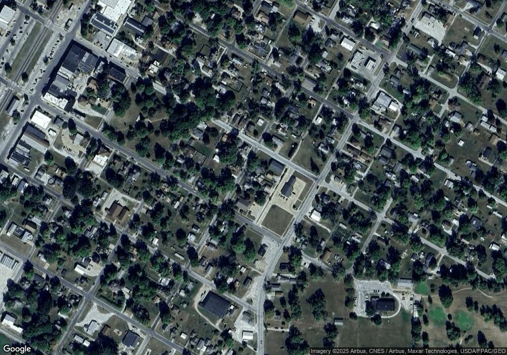
Map
Nearby Homes
- 651 N Sperry St
- 777 Cole St
- 195 W Hail St
- 310 N Dean St
- 924 N Crafford St
- 994 N Crafford St
- 134 W Osborne St
- 425 N Jackson St
- 555 N Jackson St
- 1024 W Main St
- 651 N Washington St
- 4 Hiel Dr
- 295 W Harris Ave
- 14 Hillcrest Dr
- 22561 N Cornerstone Rd
- 20620 N 2300th Rd
- 20620 N 2300 Rd
- 18520 N 1450th Rd
- 300 S Park St
- 16905 E 1600th St
- 474 N Sperry St
- 448 N Sperry St
- 396 E Hail St
- 463 N Sperry St
- 445 N Sperry St
- 477 N Sperry St
- 407 E Hail St
- 409 N Sperry St
- 475 E Hail St
- 423 N Sperry St
- 536 N Sperry St
- 365 E Hurst St
- 385 E Hail St
- 460 E Hurst St
- 438 E Hurst St
- 493 E Hail St
- 422 E Hurst St
- 436 E Hurst St
- 546 N Sperry St
- 375 E Hail St