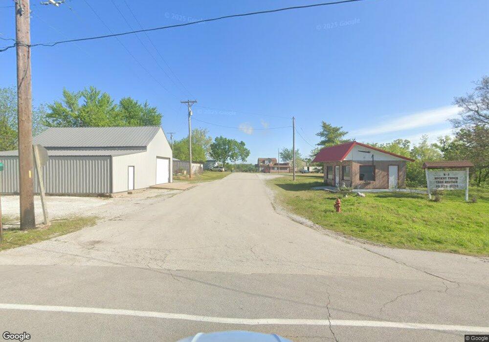
462 N Tiffany Dr Oronogo, MO 64855
Estimated Value: $204,255 - $233,000
--
Bed
2
Baths
1,293
Sq Ft
$169/Sq Ft
Est. Value
About This Home
This home is located at 462 N Tiffany Dr, Oronogo, MO 64855 and is currently estimated at $218,314, approximately $168 per square foot. 462 N Tiffany Dr is a home with nearby schools including Webb City High School.
Ownership History
Date
Name
Owned For
Owner Type
Purchase Details
Closed on
Apr 14, 2006
Sold by
Satterfield Bobby R and Satterfield Theda A
Bought by
Link Jess J and Link Nancy A
Current Estimated Value
Home Financials for this Owner
Home Financials are based on the most recent Mortgage that was taken out on this home.
Original Mortgage
$87,200
Outstanding Balance
$54,675
Interest Rate
7.99%
Mortgage Type
Fannie Mae Freddie Mac
Estimated Equity
$163,639
Purchase Details
Closed on
Jan 14, 2005
Sold by
Better Homes Llc
Bought by
Satterfield Bobby R
Home Financials for this Owner
Home Financials are based on the most recent Mortgage that was taken out on this home.
Original Mortgage
$225,600
Interest Rate
5.8%
Mortgage Type
Purchase Money Mortgage
Create a Home Valuation Report for This Property
The Home Valuation Report is an in-depth analysis detailing your home's value as well as a comparison with similar homes in the area
Home Values in the Area
Average Home Value in this Area
Purchase History
| Date | Buyer | Sale Price | Title Company |
|---|---|---|---|
| Link Jess J | -- | Fatco | |
| Satterfield Bobby R | -- | -- |
Source: Public Records
Mortgage History
| Date | Status | Borrower | Loan Amount |
|---|---|---|---|
| Open | Link Jess J | $87,200 | |
| Previous Owner | Satterfield Bobby R | $225,600 |
Source: Public Records
Tax History Compared to Growth
Tax History
| Year | Tax Paid | Tax Assessment Tax Assessment Total Assessment is a certain percentage of the fair market value that is determined by local assessors to be the total taxable value of land and additions on the property. | Land | Improvement |
|---|---|---|---|---|
| 2024 | $1,089 | $20,970 | $3,390 | $17,580 |
| 2023 | $1,089 | $20,970 | $3,390 | $17,580 |
| 2022 | $1,117 | $21,570 | $3,390 | $18,180 |
| 2021 | $1,110 | $21,570 | $3,390 | $18,180 |
| 2020 | $985 | $19,940 | $3,390 | $16,550 |
| 2019 | $987 | $19,940 | $3,390 | $16,550 |
| 2018 | $981 | $19,850 | $0 | $0 |
| 2017 | $983 | $19,850 | $0 | $0 |
| 2016 | $936 | $20,270 | $0 | $0 |
| 2015 | -- | $20,270 | $0 | $0 |
| 2014 | -- | $20,270 | $0 | $0 |
Source: Public Records
Map
Nearby Homes
- 875 E Clark St
- 21770 Jude Ln
- 793 State Highway 96
- 000 State Highway 96
- 9248 County Lane 218
- 628 Josh Ct
- TBD 3 87 Acres County Lane 228
- 1105 Downy Dr
- 9960 Cr 215
- 2237 N Greystone Square
- 355 Sadie Ln
- 2306 N Greystone Square
- 320 Sidney Ln
- 337 Swaden Ln
- 335 Swaden Ln
- 334 Swaden Ln
- 322 Swaden Ln
- 329 E Greystone Square
- 000 W Ivy Rd
- 2004 Greydon Ln
- 1065 Alexsandra Cir
- 464 N Tiffany Dr
- 997 Caitlan Dr
- 1070 Alexsandra Cir
- 928 Caitlan Dr
- 460 N Tiffney Dr
- 1064 E Amber Dr
- 498 N Tiffney Dr
- 1068 Alexsandra Cir
- 979 Caitlan Dr
- 998 E Amber Dr
- 926 Caitlan Dr
- 1098 E Amber Dr
- 1098 E Amber Dr Unit 1
- 458 N Tiffney Dr
- 923 Samthea Dr
- 1071 Alexsandra Cir
- 1124 E Amber Dr
- 941 Caitlan Dr
- 924 Caitlan Dr
