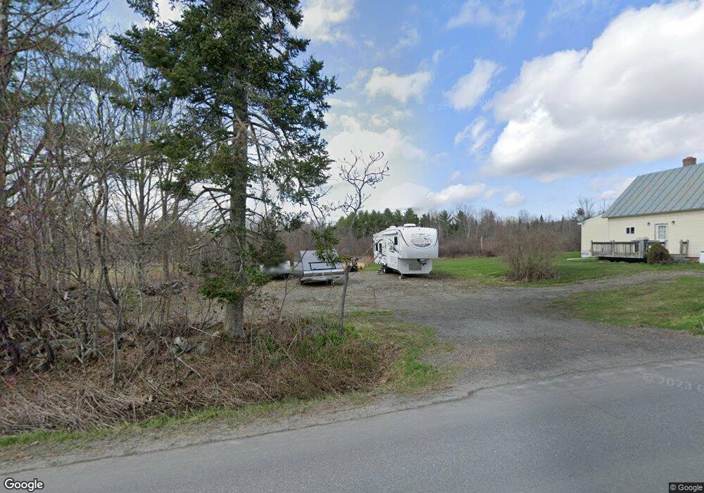
462 Notch Rd Skowhegan, ME 04976
Estimated Value: $171,829 - $272,000
3
Beds
1
Bath
1,149
Sq Ft
$194/Sq Ft
Est. Value
About This Home
This home is located at 462 Notch Rd, Skowhegan, ME 04976 and is currently estimated at $222,707, approximately $193 per square foot. 462 Notch Rd is a home located in Somerset County.
Ownership History
Date
Name
Owned For
Owner Type
Purchase Details
Closed on
Nov 30, 2005
Sold by
Hodges Mark R and Hodges Darci H
Bought by
Chamberland Roger L
Current Estimated Value
Home Financials for this Owner
Home Financials are based on the most recent Mortgage that was taken out on this home.
Original Mortgage
$68,800
Outstanding Balance
$37,702
Interest Rate
6.14%
Mortgage Type
Purchase Money Mortgage
Estimated Equity
$185,005
Create a Home Valuation Report for This Property
The Home Valuation Report is an in-depth analysis detailing your home's value as well as a comparison with similar homes in the area
Home Values in the Area
Average Home Value in this Area
Purchase History
| Date | Buyer | Sale Price | Title Company |
|---|---|---|---|
| Chamberland Roger L | -- | -- |
Source: Public Records
Mortgage History
| Date | Status | Borrower | Loan Amount |
|---|---|---|---|
| Open | Chamberland Roger L | $68,800 | |
| Closed | Chamberland Roger L | $17,200 |
Source: Public Records
Tax History Compared to Growth
Tax History
| Year | Tax Paid | Tax Assessment Tax Assessment Total Assessment is a certain percentage of the fair market value that is determined by local assessors to be the total taxable value of land and additions on the property. | Land | Improvement |
|---|---|---|---|---|
| 2024 | $2,044 | $113,100 | $41,800 | $71,300 |
| 2023 | $2,038 | $115,000 | $41,800 | $73,200 |
| 2022 | $1,451 | $83,000 | $29,700 | $53,300 |
| 2021 | $1,428 | $77,800 | $29,700 | $48,100 |
| 2020 | $1,323 | $73,500 | $29,700 | $43,800 |
| 2019 | $1,267 | $73,500 | $29,700 | $43,800 |
| 2018 | $1,338 | $73,500 | $29,700 | $43,800 |
| 2017 | $1,470 | $73,500 | $29,700 | $43,800 |
| 2016 | $1,668 | $87,600 | $32,300 | $55,300 |
| 2015 | $1,603 | $87,600 | $32,300 | $55,300 |
| 2014 | $1,502 | $87,600 | $32,300 | $55,300 |
| 2013 | -- | $87,600 | $32,300 | $55,300 |
Source: Public Records
Map
Nearby Homes
- M33 L94-1 (Lot 18) Reed St
- 657 E Ridge Rd
- 664 E Ridge Rd
- 176 W Ridge Rd
- 263 W Ridge Rd
- 846 Notch Rd
- 538 Malbons Mills Rd
- 477 Malbons Mills Rd
- M1 L9-1 Off Ames Rd
- 266 Dudley Corner Rd
- 000 E Ridge Rd
- 30 Prentiss Ln
- 28 Messina Dr
- 435 Canaan Rd
- 34 Wing Ln
- 701 Malbons Mills Rd
- 24 Ryan Ln
- 1040 Canaan Rd
- M7 L104-1 Lake George
- 117 Lambert Rd