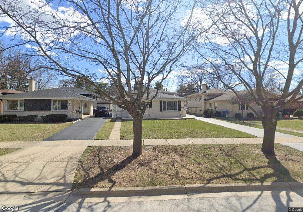
462 W Commonwealth Ln Elmhurst, IL 60126
Estimated Value: $421,588 - $497,000
3
Beds
--
Bath
1,292
Sq Ft
$359/Sq Ft
Est. Value
About This Home
This home is located at 462 W Commonwealth Ln, Elmhurst, IL 60126 and is currently estimated at $464,147, approximately $359 per square foot. 462 W Commonwealth Ln is a home located in DuPage County with nearby schools including Salt Creek Elementary School, Stella May Swartz Elementary School, and John E Albright Middle School.
Ownership History
Date
Name
Owned For
Owner Type
Purchase Details
Closed on
May 2, 2017
Sold by
Alshanski David P and Alshanski Rillia
Bought by
Alshanski David P and Alshanski Rillia
Current Estimated Value
Purchase Details
Closed on
Aug 16, 2004
Sold by
Napolitan Harriet and Napolitan Harriet R
Bought by
Alshanski David P and Bonfiglio Rillia A
Purchase Details
Closed on
Feb 6, 2002
Sold by
Napolitan William J and Napolitan Harriet
Bought by
Napolitan Harriet
Create a Home Valuation Report for This Property
The Home Valuation Report is an in-depth analysis detailing your home's value as well as a comparison with similar homes in the area
Home Values in the Area
Average Home Value in this Area
Purchase History
| Date | Buyer | Sale Price | Title Company |
|---|---|---|---|
| Alshanski David P | -- | Attorney | |
| Alshanski David P | $325,000 | First American Title Ins Co | |
| Napolitan Harriet | -- | -- |
Source: Public Records
Tax History Compared to Growth
Tax History
| Year | Tax Paid | Tax Assessment Tax Assessment Total Assessment is a certain percentage of the fair market value that is determined by local assessors to be the total taxable value of land and additions on the property. | Land | Improvement |
|---|---|---|---|---|
| 2024 | $6,310 | $132,591 | $36,530 | $96,061 |
| 2023 | $5,379 | $122,610 | $33,780 | $88,830 |
| 2022 | $5,303 | $117,850 | $32,480 | $85,370 |
| 2021 | $5,389 | $114,920 | $31,670 | $83,250 |
| 2020 | $5,325 | $112,410 | $30,980 | $81,430 |
| 2019 | $5,102 | $106,870 | $29,450 | $77,420 |
| 2018 | $5,210 | $106,320 | $27,870 | $78,450 |
| 2017 | $5,115 | $101,320 | $26,560 | $74,760 |
| 2016 | $4,798 | $95,450 | $25,020 | $70,430 |
| 2015 | $4,705 | $88,920 | $23,310 | $65,610 |
| 2014 | $5,159 | $87,470 | $21,280 | $66,190 |
| 2013 | $5,106 | $88,700 | $21,580 | $67,120 |
Source: Public Records
Map
Nearby Homes
- 1046 E Van Buren St
- 625 E Van Buren St
- 963 S Saylor Ave
- 1S045 Spring Rd Unit 1D
- 2 S Atrium Way Unit 203
- 995 S Swain Ave
- 1S150 Spring Rd Unit 5B
- 1S150 Spring Rd Unit 4L
- 936 S Mitchell Ave
- 3 Oak Brook Club Dr Unit E207
- 274 Timber View Dr
- 1200 S Prospect Ave Unit 303
- 1200 S Prospect Ave Unit 108
- 805 S Spring Rd
- 814 S Saylor Ave
- 130 Crab Apple Ln
- 801 S Spring Rd
- 1 Oak Brook Club Dr Unit A301
- 1 Oak Brook Club Dr Unit A312
- 740 S Berkley Ave
- 466 W Commonwealth Ln
- 458 W Commonwealth Ln
- 470 W Commonwealth Ln
- 452 W Commonwealth Ln
- 474 W Commonwealth Ln
- 475 W Avery St
- 1042 S Sunset Ave
- 481 W Avery St
- 476 W Commonwealth Ln
- 459 W Commonwealth Ln
- 477 W Avery St
- 485 W Avery St
- 485 W Avery St
- 1059 S Sunset Ave
- 1077 S Sunset Ave
- 480 W Commonwealth Ln
- 489 W Avery St
- 1038 S Sunset Ave
- 436 W Commonwealth Ln
- 443 W Commonwealth Ln