Estimated Value: $251,000 - $334,000
3
Beds
2
Baths
2,304
Sq Ft
$122/Sq Ft
Est. Value
About This Home
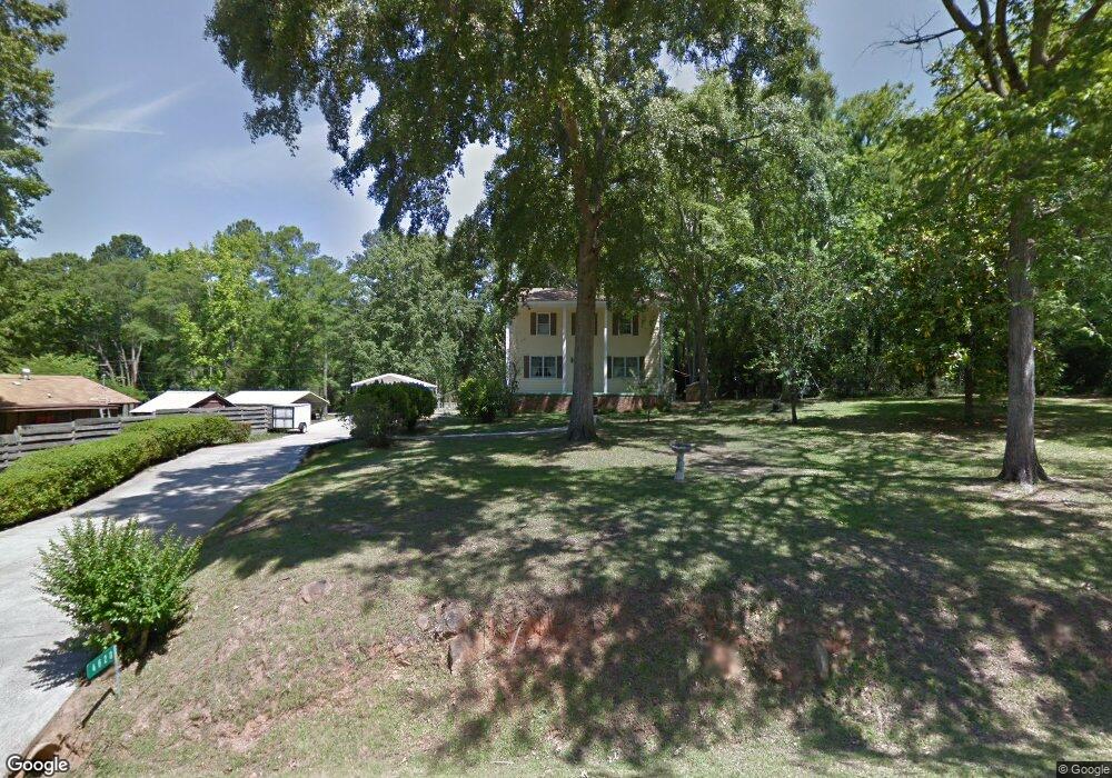
This home is located at 4620 Calais Cir, Evans, GA 30809 and is currently estimated at $280,636, approximately $121 per square foot. 4620 Calais Cir is a home located in Columbia County with nearby schools including Evans Elementary School, John F. Kennedy Middle School, and Evans Middle School.
Ownership History
Date
Name
Owned For
Owner Type
Purchase Details
Closed on
Jun 27, 2022
Sold by
Davidson Ronny Eugene
Bought by
Cortez & Co Llc
Current Estimated Value
Home Financials for this Owner
Home Financials are based on the most recent Mortgage that was taken out on this home.
Original Mortgage
$167,000
Interest Rate
5.1%
Mortgage Type
New Conventional
Purchase Details
Closed on
Jan 22, 2018
Sold by
Clopton April Davidson
Bought by
Davidson Ronny Eugene
Create a Home Valuation Report for This Property
The Home Valuation Report is an in-depth analysis detailing your home's value as well as a comparison with similar homes in the area
Home Values in the Area
Average Home Value in this Area
Purchase History
| Date | Buyer | Sale Price | Title Company |
|---|---|---|---|
| Cortez & Co Llc | $210,000 | -- | |
| Davidson Ronny Eugene | -- | -- | |
| Davidson Ronny Eugene | -- | -- |
Source: Public Records
Mortgage History
| Date | Status | Borrower | Loan Amount |
|---|---|---|---|
| Closed | Cortez & Co Llc | $167,000 |
Source: Public Records
Tax History Compared to Growth
Tax History
| Year | Tax Paid | Tax Assessment Tax Assessment Total Assessment is a certain percentage of the fair market value that is determined by local assessors to be the total taxable value of land and additions on the property. | Land | Improvement |
|---|---|---|---|---|
| 2025 | $1,915 | $80,348 | $19,747 | $60,601 |
| 2024 | $1,712 | $68,550 | $9,947 | $58,603 |
| 2023 | $1,712 | $58,751 | $9,947 | $48,804 |
| 2022 | $1,474 | $56,746 | $9,947 | $46,799 |
| 2021 | $1,417 | $52,157 | $9,747 | $42,410 |
| 2020 | $1,390 | $50,105 | $9,747 | $40,358 |
| 2019 | $1,362 | $49,086 | $9,747 | $39,339 |
| 2018 | $216 | $47,773 | $9,747 | $38,026 |
| 2017 | $149 | $45,324 | $8,647 | $36,677 |
| 2016 | $97 | $43,601 | $7,608 | $35,993 |
| 2015 | $118 | $44,298 | $7,608 | $36,690 |
| 2014 | $83 | $42,882 | $7,208 | $35,674 |
Source: Public Records
Map
Nearby Homes
- 4597 Gray Ln
- 5068 Hereford Farm Rd
- 4569 Gray Ln
- 231 Dry Creek Rd
- 4586 Oxford Ct
- 4558 Glenda Ln
- 4517 Glennwood Dr
- 4521 Zola Dr
- 489 Connemara Trail
- 385 Canterbury Dr
- 586 Gibbs Rd
- 245 Belair Rd N
- 4724 Canterbury Ln
- 213 N Belair Rd
- 4560 Mulberry Creek Dr
- 4426 Summerlin Dr
- 4648 Leeward Dr
- 4421 Hereford Farm Rd
- 4709 Walnut Hill Dr
- 1764 Davenport Dr
- 4614 Calais Cir
- 4612 Calais Cir
- 416 La Vista Dr
- 418 La Vista Dr
- 414 La Vista Dr
- 4627 Calais Cir
- 420 La Vista Dr
- 412 La Vista Dr
- 4615 Calais Cir
- 4617 Calais Cir
- 4623 Calais Cir
- 4619 Calais Cir
- 4613 Calais Cir
- 410 La Vista Dr
- 424 La Vista Dr
- 4621 Calais Cir
- 421 La Vista Dr
- 409 La Vista Dr
- 4625 Calais Cir
- 4605 Calais Cir