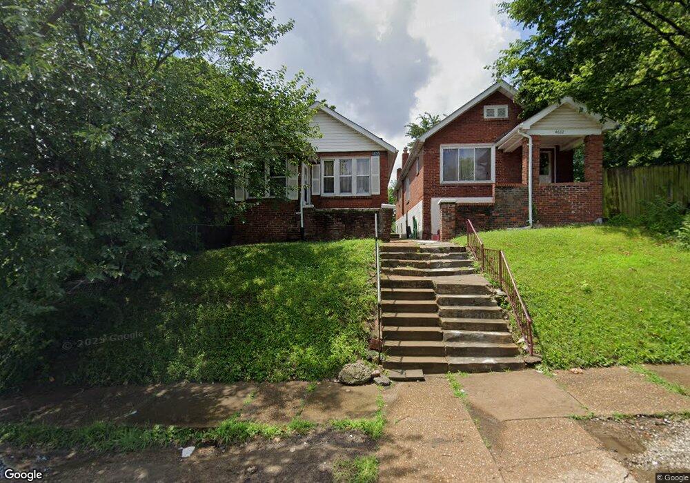
4620 Carter Ave Saint Louis, MO 63115
Penrose NeighborhoodEstimated Value: $51,871 - $72,000
--
Bed
1
Bath
1,678
Sq Ft
$38/Sq Ft
Est. Value
About This Home
This home is located at 4620 Carter Ave, Saint Louis, MO 63115 and is currently estimated at $63,718, approximately $37 per square foot. 4620 Carter Ave is a home located in St. Louis City with nearby schools including Ashland Elementary School, Yeatman-Liddell Middle School, and Vashon High School.
Ownership History
Date
Name
Owned For
Owner Type
Purchase Details
Closed on
Sep 30, 2021
Sold by
3332 Pennsylvania Llc
Bought by
Nadler Joshua
Current Estimated Value
Home Financials for this Owner
Home Financials are based on the most recent Mortgage that was taken out on this home.
Original Mortgage
$271,500
Outstanding Balance
$247,583
Interest Rate
2.8%
Mortgage Type
New Conventional
Estimated Equity
-$183,865
Purchase Details
Closed on
Jul 19, 2021
Sold by
Gilespie Teresa D and Hightower Leila M
Bought by
Hightower Leila M
Purchase Details
Closed on
Jul 30, 2020
Sold by
Patricia Hightower
Bought by
Gillespie Teresa D
Create a Home Valuation Report for This Property
The Home Valuation Report is an in-depth analysis detailing your home's value as well as a comparison with similar homes in the area
Home Values in the Area
Average Home Value in this Area
Purchase History
| Date | Buyer | Sale Price | Title Company |
|---|---|---|---|
| Nadler Joshua | $362,000 | Freedom Title | |
| Hightower Leila M | -- | None Available | |
| Gillespie Teresa D | -- | -- |
Source: Public Records
Mortgage History
| Date | Status | Borrower | Loan Amount |
|---|---|---|---|
| Open | Nadler Joshua | $271,500 |
Source: Public Records
Tax History Compared to Growth
Tax History
| Year | Tax Paid | Tax Assessment Tax Assessment Total Assessment is a certain percentage of the fair market value that is determined by local assessors to be the total taxable value of land and additions on the property. | Land | Improvement |
|---|---|---|---|---|
| 2025 | $336 | $3,820 | $380 | $3,440 |
| 2024 | $321 | $3,680 | $380 | $3,300 |
| 2023 | $321 | $3,680 | $380 | $3,300 |
| 2022 | $327 | $3,620 | $380 | $3,240 |
| 2021 | $327 | $3,620 | $380 | $3,240 |
| 2020 | $330 | $3,690 | $380 | $3,310 |
| 2019 | $329 | $3,690 | $380 | $3,310 |
| 2018 | $314 | $3,400 | $380 | $3,020 |
| 2017 | $309 | $3,400 | $380 | $3,020 |
| 2016 | $388 | $4,290 | $720 | $3,570 |
| 2015 | $354 | $4,290 | $720 | $3,570 |
| 2014 | $419 | $4,290 | $720 | $3,570 |
| 2013 | -- | $5,150 | $720 | $4,430 |
Source: Public Records
Map
Nearby Homes
- 4430 Sexauer Ave
- 4556 Carter Ave
- 4627 Korte Ave
- 4341 Shreve Ave
- 4418 Dryden Ave
- 4655 Lee Ave
- 4246 N Taylor Ave
- 4607 Lee Ave
- 4848 Calvin Ave
- 4477 Bessie Ave
- 4499 Lee Ave Unit B
- 4681 Kossuth Ave
- 4449 Anderson Ave
- 4843 Lee Ave
- 4629 Farlin Ave
- 4707 Farlin Ave
- 4680 W Florissant Ave
- 4921 Theodore Ave
- 4534 Margaretta Ave
- 3003 TAYOR N Taylor Ave
- 4622 Carter Ave
- 4614 Carter Ave
- 4610 Carter Ave
- 4604 Carter Ave
- 4600 Carter Ave
- 4400 Richard Place
- 4640 Carter Ave
- 4640 Carter Ave Unit 1F
- 4640 Carter Ave Unit 2
- 4315 Cintra Ave
- 4636 Carter Ave
- 4617 Anderson Ave
- 4621 Anderson Ave
- 4615 Anderson Ave
- 4629 Anderson Ave
- 4404 Richard Place
- 4611 Anderson Ave
- 4627 Carter Ave
- 4631 Anderson Ave
- 4633 Anderson Ave