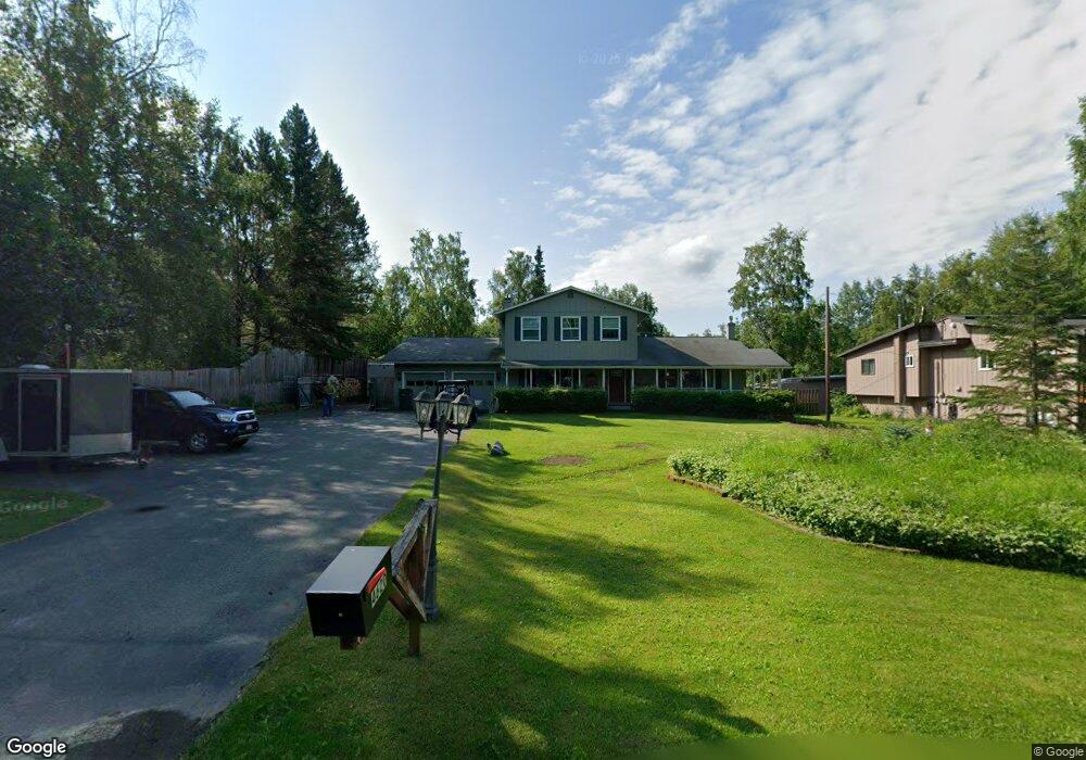
4620 E 112th Ave Anchorage, AK 99516
Huffman-O'Malley NeighborhoodEstimated Value: $565,000 - $741,725
4
Beds
4
Baths
2,620
Sq Ft
$258/Sq Ft
Est. Value
About This Home
This home is located at 4620 E 112th Ave, Anchorage, AK 99516 and is currently estimated at $677,242, approximately $258 per square foot. 4620 E 112th Ave is a home located in Anchorage Municipality with nearby schools including O'Malley Elementary School, Hanshew Middle School, and Service High School.
Ownership History
Date
Name
Owned For
Owner Type
Purchase Details
Closed on
Aug 12, 2003
Sold by
Odom Dorothy and Odom Clyde
Bought by
Floyd Darrell C and Floyd Debora R
Current Estimated Value
Home Financials for this Owner
Home Financials are based on the most recent Mortgage that was taken out on this home.
Original Mortgage
$150,000
Interest Rate
5.6%
Mortgage Type
Purchase Money Mortgage
Create a Home Valuation Report for This Property
The Home Valuation Report is an in-depth analysis detailing your home's value as well as a comparison with similar homes in the area
Home Values in the Area
Average Home Value in this Area
Purchase History
| Date | Buyer | Sale Price | Title Company |
|---|---|---|---|
| Floyd Darrell C | -- | First American Title Of Alas |
Source: Public Records
Mortgage History
| Date | Status | Borrower | Loan Amount |
|---|---|---|---|
| Closed | Floyd Darrell C | $150,000 | |
| Closed | Floyd Darrell C | $165,000 |
Source: Public Records
Tax History
| Year | Tax Paid | Tax Assessment Tax Assessment Total Assessment is a certain percentage of the fair market value that is determined by local assessors to be the total taxable value of land and additions on the property. | Land | Improvement |
|---|---|---|---|---|
| 2025 | $6,077 | $682,500 | $115,200 | $567,300 |
| 2024 | $6,077 | $601,400 | $109,700 | $491,700 |
| 2023 | $9,506 | $558,200 | $105,400 | $452,800 |
| 2022 | $5,695 | $538,200 | $105,500 | $432,700 |
| 2021 | $9,268 | $514,300 | $105,500 | $408,800 |
| 2020 | $5,134 | $503,200 | $105,500 | $397,700 |
| 2019 | $4,854 | $496,700 | $105,500 | $391,200 |
| 2018 | $6,839 | $467,000 | $96,800 | $370,200 |
| 2017 | $7,568 | $503,300 | $93,000 | $410,300 |
| 2016 | $6,552 | $541,300 | $93,000 | $448,300 |
| 2015 | $6,552 | $501,300 | $81,200 | $420,100 |
| 2014 | $6,552 | $466,300 | $77,200 | $389,100 |
Source: Public Records
Map
Nearby Homes
- 0000 E 113th Ave
- 6640 O'Malley Rd
- L2 Totem Rd
- 0 Rd
- 10960 Totem Rd
- 5345 Heritage Heights Dr
- 3641 E Klatt Rd
- 11314 Cheri Ren Cir
- 5005 E 98th Ave
- Lt 87 Carlson Rd
- L82 Carlson Rd
- 5300 Shaun Cir
- 000 Valley View Dr
- 6130 Summit St
- 10996 Sky Ridge Dr
- 11135 Red Sky Cir
- 11254 Tulin Park Loop
- NHN Red Sky Cir
- 3025 Huffman Rd
- 2640 E 112th Ave
- 4640 E 112th Ave
- 11201 Lipscomb St
- 4621 E 113th Ave
- 4700 E 112th Ave
- 11141 Lipscomb St
- 4641 E 113th Ave
- L2 Lipscomb St
- L3 Lipscomb St
- 4701 E 113th Ave
- 4740 E 112th Ave
- 11121 Lipscomb St
- 11200 Lipscomb St
- 4721 E 113th Ave
- 11140 Lipscomb St
- 4720 E 112th Ave
- 11250 Lipscomb St
- 4620 E 113th Ave
- 11101 Lipscomb St
- 4741 E 113th Ave
- 11341 Lipscomb St
Your Personal Tour Guide
Ask me questions while you tour the home.