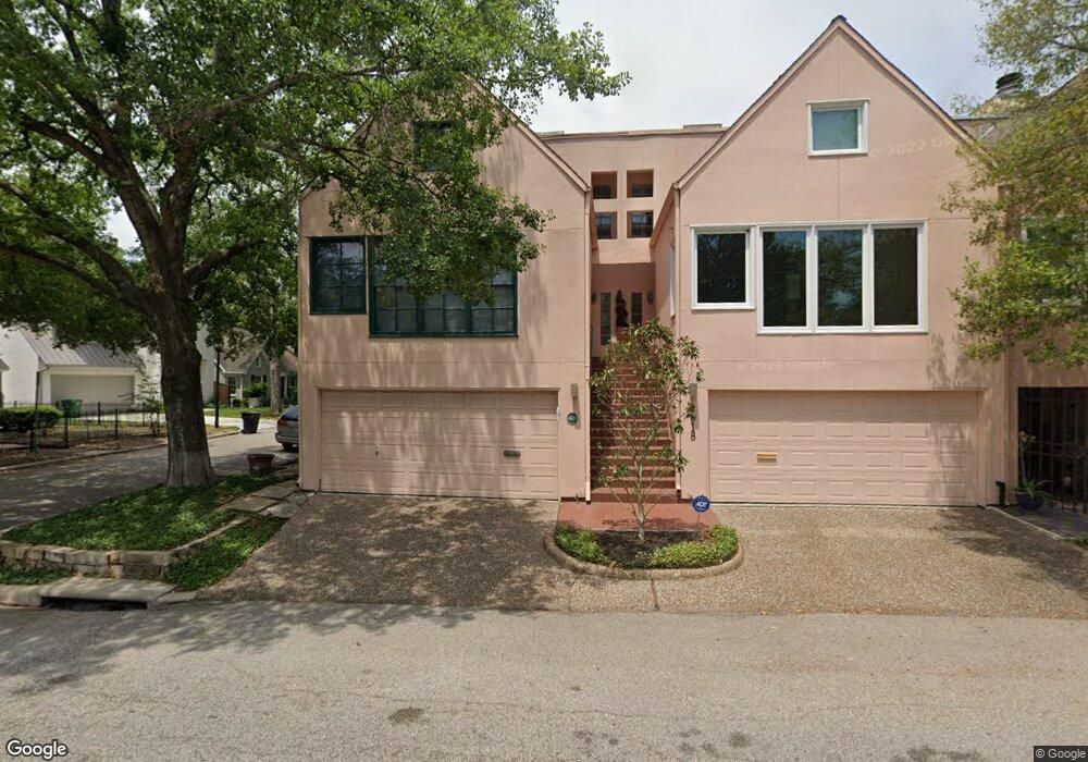
4620 Morningside Dr Unit A Houston, TX 77005
University Place NeighborhoodEstimated Value: $509,000 - $973,000
3
Beds
3
Baths
1,886
Sq Ft
$394/Sq Ft
Est. Value
About This Home
This home is located at 4620 Morningside Dr Unit A, Houston, TX 77005 and is currently estimated at $743,333, approximately $394 per square foot. 4620 Morningside Dr Unit A is a home located in Harris County with nearby schools including Poe Elementary School, Lanier Middle School, and Lamar High School.
Ownership History
Date
Name
Owned For
Owner Type
Purchase Details
Closed on
Jul 8, 2008
Sold by
Rau Anita L
Bought by
Rau George H
Current Estimated Value
Purchase Details
Closed on
Sep 12, 1996
Sold by
Bank Of America Nt&Sa
Bought by
Fredricks Linda Ann Oneal
Home Financials for this Owner
Home Financials are based on the most recent Mortgage that was taken out on this home.
Original Mortgage
$119,400
Interest Rate
7.91%
Purchase Details
Closed on
May 7, 1996
Sold by
Ussery Fred M
Bought by
Bankamerica National Trust Co
Create a Home Valuation Report for This Property
The Home Valuation Report is an in-depth analysis detailing your home's value as well as a comparison with similar homes in the area
Home Values in the Area
Average Home Value in this Area
Purchase History
| Date | Buyer | Sale Price | Title Company |
|---|---|---|---|
| Rau George H | -- | None Available | |
| Fredricks Linda Ann Oneal | -- | Stewart Title | |
| Bankamerica National Trust Co | $130,000 | -- |
Source: Public Records
Mortgage History
| Date | Status | Borrower | Loan Amount |
|---|---|---|---|
| Previous Owner | Fredricks Linda Ann Oneal | $119,400 | |
| Closed | Rau George H | $0 |
Source: Public Records
Tax History
| Year | Tax Paid | Tax Assessment Tax Assessment Total Assessment is a certain percentage of the fair market value that is determined by local assessors to be the total taxable value of land and additions on the property. | Land | Improvement |
|---|---|---|---|---|
| 2025 | $6,022 | $410,899 | $170,126 | $240,773 |
| 2024 | $6,022 | $410,899 | $170,126 | $240,773 |
| 2023 | $6,022 | $414,979 | $170,126 | $244,853 |
| 2022 | $8,315 | $377,629 | $170,126 | $207,503 |
| 2021 | $8,801 | $377,629 | $170,126 | $207,503 |
| 2020 | $8,872 | $366,353 | $170,126 | $196,227 |
| 2019 | $9,270 | $366,353 | $170,126 | $196,227 |
| 2018 | $7,128 | $365,183 | $170,126 | $195,057 |
| 2017 | $9,246 | $365,665 | $170,126 | $195,539 |
| 2016 | $9,246 | $365,665 | $170,126 | $195,539 |
| 2015 | -- | $365,665 | $170,126 | $195,539 |
| 2014 | -- | $0 | $0 | $0 |
Source: Public Records
Map
Nearby Homes
- 2438 Albans Rd
- 2332 Wroxton Rd
- 2307 Wroxton Rd
- 2301 Albans Rd
- 2436 Bissonnet St Unit 8
- 2410 Quenby St
- 2404 Quenby St
- 2320 Bartlett St
- 2520 Robinhood St Unit 800
- 2520 Robinhood St Unit 503
- 2520 Robinhood St Unit 1008
- 2520 Robinhood St Unit 801
- 2247 Bartlett St
- 2343 North Blvd
- 2320 North Blvd
- 2366 Dunstan Rd
- 2638 Wroxton Rd
- 2244 North Blvd
- 2210 Bartlett St
- 2700 Wroxton Rd
- 4618 Morningside Dr
- 4616 Morningside Dr
- 4614 Morningside Dr
- 2406 Albans Rd
- 4612 Morningside Dr
- 2410 Albans Rd
- 2352 Albans Rd
- 2401 Albans Rd
- 2405 Albans Rd
- 4606 Morningside Dr
- 2414 Albans Rd
- 2348 Albans Rd
- 2407 Wroxton Rd
- 2409 Albans Rd
- 2351 Albans Rd
- 2349 Wroxton Rd
- 2411 Wroxton Rd
- 2415 Wroxton Rd
- 2413 Albans Rd
- 2418 Albans Rd
Your Personal Tour Guide
Ask me questions while you tour the home.