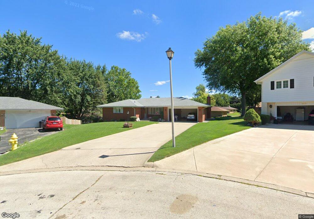
4620 Sequoia Cir Rockford, IL 61108
Estimated Value: $213,000 - $252,000
3
Beds
3
Baths
1,644
Sq Ft
$142/Sq Ft
Est. Value
About This Home
This home is located at 4620 Sequoia Cir, Rockford, IL 61108 and is currently estimated at $233,273, approximately $141 per square foot. 4620 Sequoia Cir is a home located in Winnebago County with nearby schools including Gregory Elementary School, Eisenhower Middle School, and Guilford High School.
Ownership History
Date
Name
Owned For
Owner Type
Purchase Details
Closed on
Aug 1, 2024
Sold by
Wojtowicz Halina
Bought by
Collins Elizabeth and Collins Charles W
Current Estimated Value
Home Financials for this Owner
Home Financials are based on the most recent Mortgage that was taken out on this home.
Original Mortgage
$193,800
Outstanding Balance
$191,442
Interest Rate
6.49%
Mortgage Type
New Conventional
Estimated Equity
$41,831
Purchase Details
Closed on
Mar 11, 2019
Sold by
Wojtowicz Halina
Bought by
Wojtowicz Halina and Wojtowicz George
Create a Home Valuation Report for This Property
The Home Valuation Report is an in-depth analysis detailing your home's value as well as a comparison with similar homes in the area
Home Values in the Area
Average Home Value in this Area
Purchase History
| Date | Buyer | Sale Price | Title Company |
|---|---|---|---|
| Collins Elizabeth | $214,000 | None Listed On Document | |
| Wojtowicz Halina | -- | None Listed On Document |
Source: Public Records
Mortgage History
| Date | Status | Borrower | Loan Amount |
|---|---|---|---|
| Open | Collins Elizabeth | $193,800 |
Source: Public Records
Tax History Compared to Growth
Tax History
| Year | Tax Paid | Tax Assessment Tax Assessment Total Assessment is a certain percentage of the fair market value that is determined by local assessors to be the total taxable value of land and additions on the property. | Land | Improvement |
|---|---|---|---|---|
| 2024 | $1,698 | $50,176 | $6,907 | $43,269 |
| 2023 | $1,860 | $44,243 | $6,090 | $38,153 |
| 2022 | $2,047 | $39,545 | $5,443 | $34,102 |
| 2021 | $2,196 | $36,260 | $4,991 | $31,269 |
| 2020 | $2,303 | $34,278 | $4,718 | $29,560 |
| 2019 | $2,400 | $32,671 | $4,497 | $28,174 |
| 2018 | $2,556 | $30,789 | $4,238 | $26,551 |
| 2017 | $2,658 | $29,466 | $4,056 | $25,410 |
| 2016 | $2,706 | $28,914 | $3,980 | $24,934 |
| 2015 | $1,370 | $28,914 | $3,980 | $24,934 |
| 2014 | $2,655 | $32,537 | $4,969 | $27,568 |
Source: Public Records
Map
Nearby Homes
- 1210 Woodridge Dr
- 5015 Valentine Place
- 1549 Powder Horn Dr
- 1529 Kerstin Ct
- 69XX Charles St
- 1223 Esmond Dr
- 911 Kenmore Rd
- 4108 Tonawanda Ave
- 5039 Diane Ct Unit 75039
- 1120 Esmond Dr
- 1721 Nixon Ct
- 1111 Kingsway Ave
- 5301 Orchard Ave
- 4016 Dempster Ave
- 1112 Blenheim Dr
- 5407 Orchard Ave
- 229 Flintridge Dr
- 3903 Charles St
- 4614 Sequoia Cir
- 4615 Sequoia Cir
- 1209 Hillcrest Rd
- 4627 Lanewood Dr
- 1217 Hillcrest Rd
- 4621 Lanewood Dr
- 1201 Hillcrest Rd
- 4608 Sequoia Cir
- 4609 Sequoia Cir
- 1303 Hillcrest Rd
- 4603 Sequoia Cir
- 4615 Lanewood Dr
- 4602 Sequoia Cir
- 1210 Hillcrest Rd
- 4620 Crescent Dr
- 1216 Hillcrest Rd
- 4628 Lanewood Dr
- 4612 Crescent Dr
- 4701 Lanewood Dr
- 1210 Sequoia Rd