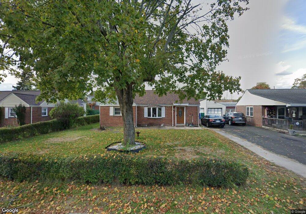
4621 Eugene Dr Bristol, PA 19007
Estimated Value: $296,000 - $350,000
3
Beds
2
Baths
1,018
Sq Ft
$315/Sq Ft
Est. Value
About This Home
This home is located at 4621 Eugene Dr, Bristol, PA 19007 and is currently estimated at $320,821, approximately $315 per square foot. 4621 Eugene Dr is a home located in Bucks County with nearby schools including Truman Senior High School, First Presbyterian Church School, and Isabet Academy.
Ownership History
Date
Name
Owned For
Owner Type
Purchase Details
Closed on
Apr 11, 2020
Sold by
Fant Michelle and Fant Lloyd
Bought by
Helms Michael and Eichelberger Angela
Current Estimated Value
Home Financials for this Owner
Home Financials are based on the most recent Mortgage that was taken out on this home.
Original Mortgage
$196,278
Outstanding Balance
$174,593
Interest Rate
3.62%
Mortgage Type
FHA
Estimated Equity
$146,228
Purchase Details
Closed on
Dec 16, 1993
Sold by
Farley Thomas E and Picozzi Jean A
Bought by
Farley Thomas E
Create a Home Valuation Report for This Property
The Home Valuation Report is an in-depth analysis detailing your home's value as well as a comparison with similar homes in the area
Home Values in the Area
Average Home Value in this Area
Purchase History
| Date | Buyer | Sale Price | Title Company |
|---|---|---|---|
| Helms Michael | $199,900 | Greater Penn Abstract Llc | |
| Farley Thomas E | $8,200 | -- |
Source: Public Records
Mortgage History
| Date | Status | Borrower | Loan Amount |
|---|---|---|---|
| Open | Helms Michael | $196,278 |
Source: Public Records
Tax History Compared to Growth
Tax History
| Year | Tax Paid | Tax Assessment Tax Assessment Total Assessment is a certain percentage of the fair market value that is determined by local assessors to be the total taxable value of land and additions on the property. | Land | Improvement |
|---|---|---|---|---|
| 2025 | $4,454 | $16,400 | $3,960 | $12,440 |
| 2024 | $4,454 | $16,400 | $3,960 | $12,440 |
| 2023 | $4,421 | $16,400 | $3,960 | $12,440 |
| 2022 | $4,421 | $16,400 | $3,960 | $12,440 |
| 2021 | $4,421 | $16,400 | $3,960 | $12,440 |
| 2020 | $4,421 | $16,400 | $3,960 | $12,440 |
| 2019 | $4,405 | $16,400 | $3,960 | $12,440 |
| 2018 | $4,334 | $16,400 | $3,960 | $12,440 |
| 2017 | $4,268 | $16,400 | $3,960 | $12,440 |
| 2016 | $4,268 | $16,400 | $3,960 | $12,440 |
| 2015 | $3,036 | $16,400 | $3,960 | $12,440 |
| 2014 | $3,036 | $16,400 | $3,960 | $12,440 |
Source: Public Records
Map
Nearby Homes
- 150 Naomi Ct Unit 811
- 3021 Bath Rd
- 1515 Lakeland Ave
- 185 Delhaas Cir
- 183 Delhaas Cir
- 187 Delhaas Cir
- 194 Delhaas Cir
- 186 Delhaas Cir
- 192 Delhaas Cir
- 189 Delhaas Cir
- 190 Delhaas Cir
- 184 Delhaas Cir
- 188 Delhaas Cir
- 193 Delhaas Cir
- 191 Delhaas Cir
- 4510 Fayette Dr
- 206 Delhaas Cir
- 246 Colette Ct
- 903 New Chestnut St
- 145 Mill Dr