4621 Highway 101 Woodruff, SC 29388
Estimated Value: $391,000 - $865,000
4
Beds
3
Baths
2,380
Sq Ft
$252/Sq Ft
Est. Value
About This Home
This home is located at 4621 Highway 101, Woodruff, SC 29388 and is currently estimated at $598,758, approximately $251 per square foot. 4621 Highway 101 is a home with nearby schools including Woodruff Primary School, Woodruff Elementary School, and Woodruff Middle School.
Ownership History
Date
Name
Owned For
Owner Type
Purchase Details
Closed on
Jan 17, 2017
Sold by
Briwn David Carroll and Briwn Jan R
Bought by
Brown David Crrall and Brown Jan R
Current Estimated Value
Purchase Details
Closed on
Apr 17, 2012
Sold by
Brown David Carroll and Brown Jan
Bought by
Brown David Carroll and Brown Jan R
Purchase Details
Closed on
Sep 11, 2003
Sold by
Brown David Carroll and Brown Jan
Bought by
Brown David Carroll and Brown Jan R
Purchase Details
Closed on
Aug 14, 2003
Sold by
Brown David Carroll and Brown Jan
Bought by
Roberts Jason and Roberts Patrizia
Create a Home Valuation Report for This Property
The Home Valuation Report is an in-depth analysis detailing your home's value as well as a comparison with similar homes in the area
Home Values in the Area
Average Home Value in this Area
Purchase History
| Date | Buyer | Sale Price | Title Company |
|---|---|---|---|
| Brown David Crrall | -- | None Available | |
| Brown David Carroll | -- | -- | |
| Thomason William S | -- | -- | |
| Brown David Carroll | -- | -- | |
| Roberts Jason | -- | -- |
Source: Public Records
Tax History Compared to Growth
Tax History
| Year | Tax Paid | Tax Assessment Tax Assessment Total Assessment is a certain percentage of the fair market value that is determined by local assessors to be the total taxable value of land and additions on the property. | Land | Improvement |
|---|---|---|---|---|
| 2025 | $1,638 | $11,257 | $1,412 | $9,845 |
| 2024 | $1,638 | $11,257 | $1,412 | $9,845 |
| 2023 | $1,638 | $11,257 | $1,412 | $9,845 |
| 2022 | $1,252 | $9,791 | $1,139 | $8,652 |
| 2021 | $1,269 | $9,819 | $1,139 | $8,680 |
| 2020 | $1,157 | $9,819 | $1,139 | $8,680 |
| 2019 | $1,172 | $9,819 | $1,139 | $8,680 |
| 2018 | $311 | $9,819 | $1,139 | $8,680 |
| 2017 | $415 | $8,239 | $1,139 | $7,100 |
| 2016 | $416 | $8,239 | $1,139 | $7,100 |
| 2015 | $919 | $8,239 | $1,139 | $7,100 |
| 2014 | $914 | $8,239 | $1,139 | $7,100 |
Source: Public Records
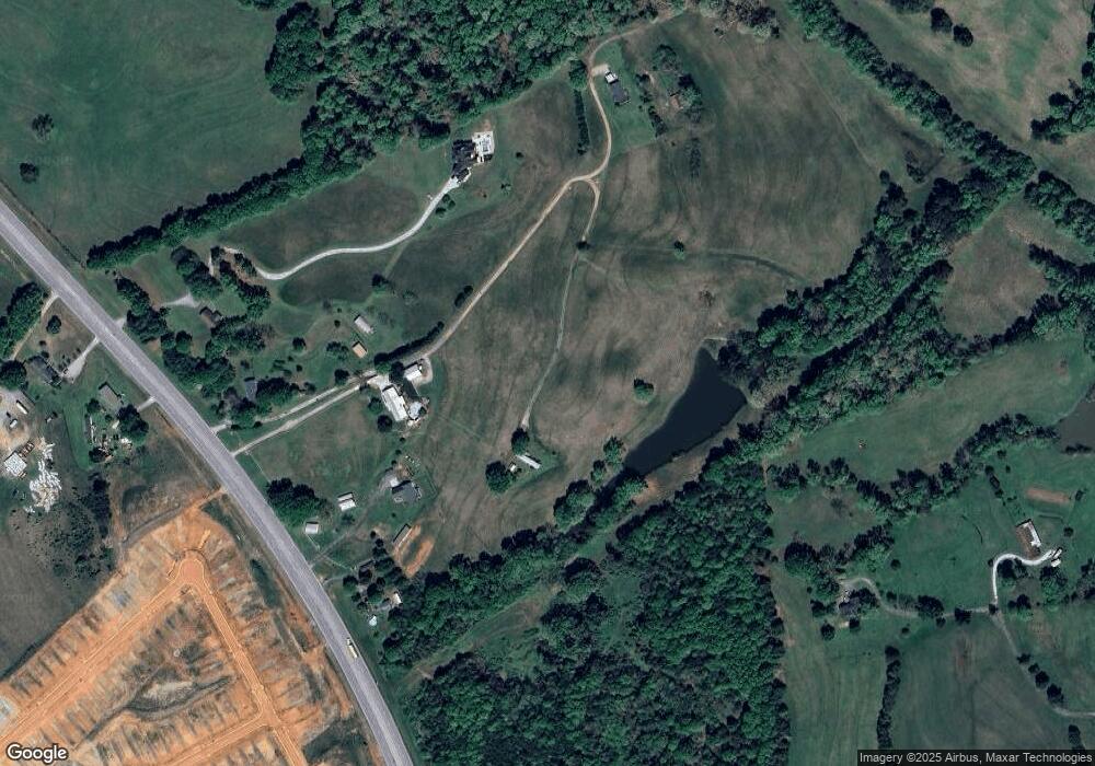
Map
Nearby Homes
- DORSET Plan at Sycamore Cove
- SIERRA Plan at Sycamore Cove
- LANDON Plan at Sycamore Cove
- BERKSHIRE Plan at Sycamore Cove
- CAMERON Plan at Sycamore Cove
- 129 Owings Rd
- 2991 S Carolina 417
- 726 Bill Pearson Rd
- 3759 Highway 417
- 737 Rockhurst Way
- 110 Chicken Foot Creek Rd
- 790 Lady Fern Dr
- Bramante Ranch Plan at Emory Park - 2-Story
- Greenwood Plan at Emory Park - 2-Story
- Lehigh Plan at Emory Park - 2-Story
- Hudson Plan at Emory Park - 2-Story
- Palladio Ranch Plan at Emory Park - 2-Story
- 6 Pepper Bush Dr
- 1627 Jessamine Dr
- 2007 Bluet Dr
- 4659 Highway 101
- 4601 Highway 101
- 4669 Highway 101
- 4589 Highway 101
- 4612 Highway 101
- 4640 Highway 101
- 4596 Highway 101
- 173 Magnolia St
- 197 Magnolia St
- 189 Magnolia St
- 4587 Highway 101
- 165 Magnolia St
- 158 Magnolia St
- 174 Magnolia St
- 126 Magnolia St
- 157 Magnolia St
- 153 Magnolia St
- 122 Magnolia St
- 137 Magnolia St
- 149 Magnolia St