4621 Wares Ferry Rd Montgomery, AL 36109
East Montgomery NeighborhoodEstimated Value: $240,000 - $298,183
4
Beds
2
Baths
3,255
Sq Ft
$83/Sq Ft
Est. Value
About This Home
This home is located at 4621 Wares Ferry Rd, Montgomery, AL 36109 and is currently estimated at $269,796, approximately $82 per square foot. 4621 Wares Ferry Rd is a home located in Montgomery County with nearby schools including Dalraida Elementary School, Goodwyn Middle School, and Dr. Percy L. Julian High School.
Ownership History
Date
Name
Owned For
Owner Type
Purchase Details
Closed on
Aug 30, 2024
Sold by
Crabtree James F and Crabtree Sue H
Bought by
Alabama Christian Academy
Current Estimated Value
Purchase Details
Closed on
Jun 19, 2007
Sold by
Marlow George D and Marlow Patricia C
Bought by
Crabtree James F and Crabtree Sue H
Purchase Details
Closed on
Jun 7, 2000
Sold by
Crabtree James Fred and Crabtree Sue Howard
Bought by
Marlow George D and Marlow Patricia C
Home Financials for this Owner
Home Financials are based on the most recent Mortgage that was taken out on this home.
Original Mortgage
$130,150
Interest Rate
8.11%
Create a Home Valuation Report for This Property
The Home Valuation Report is an in-depth analysis detailing your home's value as well as a comparison with similar homes in the area
Home Values in the Area
Average Home Value in this Area
Purchase History
| Date | Buyer | Sale Price | Title Company |
|---|---|---|---|
| Alabama Christian Academy | $280,000 | None Listed On Document | |
| Crabtree James F | $146,715 | None Available | |
| Marlow George D | $137,150 | -- |
Source: Public Records
Mortgage History
| Date | Status | Borrower | Loan Amount |
|---|---|---|---|
| Previous Owner | Marlow George D | $130,150 |
Source: Public Records
Tax History Compared to Growth
Tax History
| Year | Tax Paid | Tax Assessment Tax Assessment Total Assessment is a certain percentage of the fair market value that is determined by local assessors to be the total taxable value of land and additions on the property. | Land | Improvement |
|---|---|---|---|---|
| 2025 | $2,498 | $51,500 | $8,080 | $43,420 |
| 2024 | -- | $25,750 | $4,040 | $21,710 |
| 2023 | $934 | $25,750 | $4,040 | $21,710 |
| 2022 | $758 | $25,750 | $4,040 | $21,710 |
| 2021 | $650 | $22,180 | $0 | $0 |
| 2020 | $650 | $22,160 | $4,040 | $18,120 |
| 2019 | $650 | $22,160 | $4,040 | $18,120 |
| 2018 | $810 | $22,160 | $4,040 | $18,120 |
| 2017 | $599 | $40,940 | $8,080 | $32,860 |
| 2014 | $599 | $20,465 | $4,040 | $16,425 |
| 2013 | -- | $18,890 | $4,040 | $14,850 |
Source: Public Records
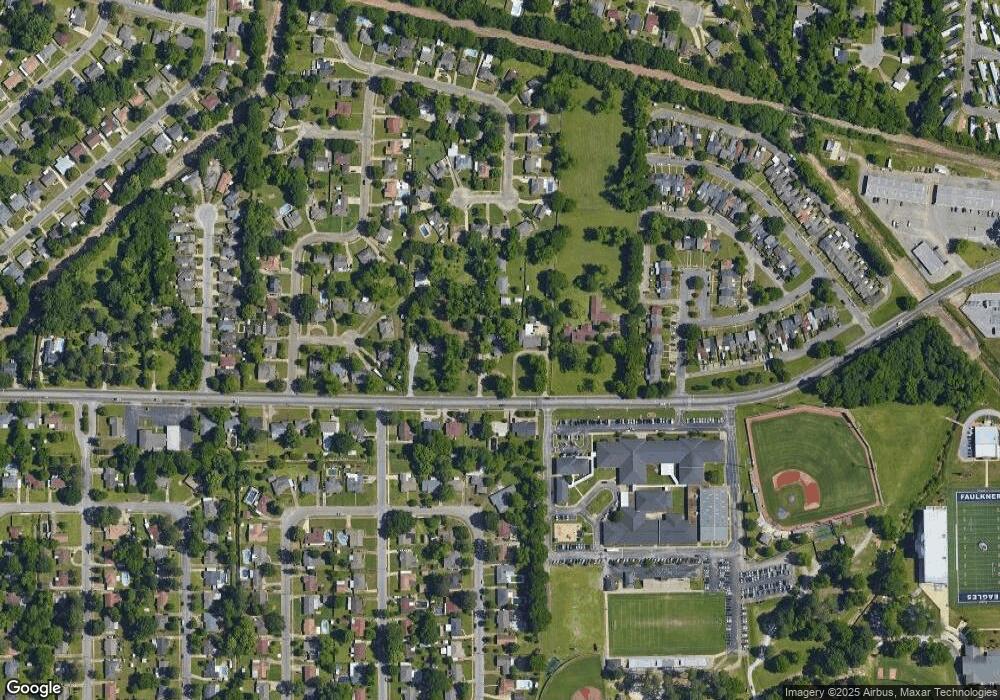
Map
Nearby Homes
- 501 Deerfield Dr
- 330 W Vanderbilt Loop
- 4454 Wares Ferry Rd
- 4680 Ray Dr
- 4447 Wares Ferry Rd
- 708 Maryethel Dr
- 452 Planters Rd
- 525 Shady Grove Dr
- 634 Sarver Ave
- 615 Sarver Ave
- 612 Planters Ct
- 217 Cornell Rd
- 228 Bowling Green Dr
- 4329 Florence St
- 0 Wares Ferry Rd
- 236 Kiefer Dr
- 118 Mountainview Dr
- 161 Watson Cir
- 4113 Johnstown Dr
- 532 Lynnhurst Ct
- 4627 Wares Ferry Rd
- 4617 Wares Ferry Rd
- 4615 Wares Ferry Rd
- 4619 Wares Ferry Rd
- 4624 Wares Ferry Rd
- 4633 Wares Ferry Rd
- 4618 Wares Ferry Rd
- 4628 Wares Ferry Rd
- 4513 Deerfield Ct
- 4512 Deerfield Ct
- 312 Avon Rd
- 316 Avon Rd
- 304 Avon Rd
- 308 Avon Rd
- 412 Harvard Rd
- 4509 Deerfield Ct
- 4508 Deerfield Ct
- 300 Avon Rd
- 415 E Vanderbilt Loop
- 320 Avon Rd