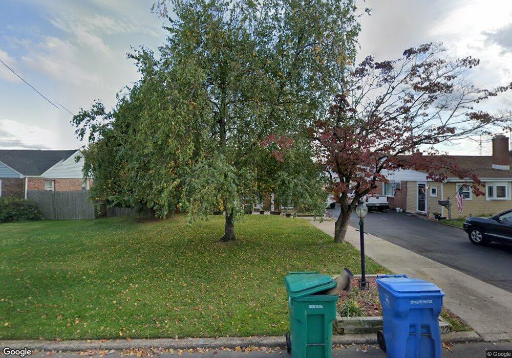
4622 Eugene Dr Bristol, PA 19007
Estimated Value: $304,000 - $327,207
3
Beds
1
Bath
1,018
Sq Ft
$312/Sq Ft
Est. Value
About This Home
This home is located at 4622 Eugene Dr, Bristol, PA 19007 and is currently estimated at $317,802, approximately $312 per square foot. 4622 Eugene Dr is a home located in Bucks County with nearby schools including Truman Senior High School, First Presbyterian Church School, and Isabet Academy.
Ownership History
Date
Name
Owned For
Owner Type
Purchase Details
Closed on
Apr 30, 2004
Sold by
Foerster Karl W and Foerster Carolyn
Bought by
Oettinger Daniel K and Oettinger Ginger M
Current Estimated Value
Home Financials for this Owner
Home Financials are based on the most recent Mortgage that was taken out on this home.
Original Mortgage
$143,825
Outstanding Balance
$67,291
Interest Rate
5.47%
Mortgage Type
FHA
Estimated Equity
$250,511
Purchase Details
Closed on
Oct 2, 1992
Bought by
Foerster Karl W and Foerster Carolyn
Create a Home Valuation Report for This Property
The Home Valuation Report is an in-depth analysis detailing your home's value as well as a comparison with similar homes in the area
Home Values in the Area
Average Home Value in this Area
Purchase History
| Date | Buyer | Sale Price | Title Company |
|---|---|---|---|
| Oettinger Daniel K | $145,000 | -- | |
| Foerster Karl W | -- | -- |
Source: Public Records
Mortgage History
| Date | Status | Borrower | Loan Amount |
|---|---|---|---|
| Open | Oettinger Daniel K | $143,825 |
Source: Public Records
Tax History
| Year | Tax Paid | Tax Assessment Tax Assessment Total Assessment is a certain percentage of the fair market value that is determined by local assessors to be the total taxable value of land and additions on the property. | Land | Improvement |
|---|---|---|---|---|
| 2025 | $4,345 | $16,000 | $3,880 | $12,120 |
| 2024 | $4,345 | $16,000 | $3,880 | $12,120 |
| 2023 | $4,313 | $16,000 | $3,880 | $12,120 |
| 2022 | $4,313 | $16,000 | $3,880 | $12,120 |
| 2021 | $4,313 | $16,000 | $3,880 | $12,120 |
| 2020 | $4,313 | $16,000 | $3,880 | $12,120 |
| 2019 | $4,297 | $16,000 | $3,880 | $12,120 |
| 2018 | $4,228 | $16,000 | $3,880 | $12,120 |
| 2017 | $4,164 | $16,000 | $3,880 | $12,120 |
| 2016 | $4,164 | $16,000 | $3,880 | $12,120 |
| 2015 | $2,955 | $16,000 | $3,880 | $12,120 |
| 2014 | $2,955 | $16,000 | $3,880 | $12,120 |
Source: Public Records
Map
Nearby Homes
- 2510 Green Ave
- 2519 Woodlawn Dr
- 2715 Crest Ave
- 187 Delhaas Cir
- 189 Delhaas Cir
- 53 Pamela Ct Unit 318
- 131 Delhaas Cir
- 129 Delhaas Cir
- 238 Colette Ct Unit 1311
- 127 Delhaas Cir
- 125 Delhaas Cir
- 134 Delhaas Cir
- 124 Delhaas Cir
- 128 Delhaas Cir
- 909 New Chestnut St
- 130 Delhaas Cir
- 132 Delhaas Cir
- 126 Delhaas Cir
- 35 Beechtree Rd
- 103 Delhaas Cir
Your Personal Tour Guide
Ask me questions while you tour the home.