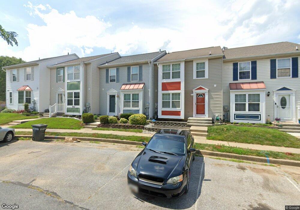
4622 Marksman Ct Hampstead, MD 21074
Estimated Value: $285,000 - $325,000
3
Beds
2
Baths
1,216
Sq Ft
$252/Sq Ft
Est. Value
About This Home
This home is located at 4622 Marksman Ct, Hampstead, MD 21074 and is currently estimated at $306,738, approximately $252 per square foot. 4622 Marksman Ct is a home located in Carroll County with nearby schools including Spring Garden Elementary School, Shiloh Middle School, and Manchester Valley High School.
Ownership History
Date
Name
Owned For
Owner Type
Purchase Details
Closed on
May 1, 2009
Sold by
Secretary Of Housing & Urban
Bought by
Oates Steven R
Current Estimated Value
Purchase Details
Closed on
Feb 3, 2009
Sold by
Creech William
Bought by
Wells Fargo Bank Na
Purchase Details
Closed on
Oct 13, 2005
Sold by
Myers Linda Lee
Bought by
Creech William and Rankin Amanda
Purchase Details
Closed on
Sep 2, 2005
Sold by
Myers Linda Lee
Bought by
Creech William and Rankin Amanda
Purchase Details
Closed on
Feb 7, 1995
Sold by
Woodhaven Building & Dev Inc
Bought by
Myers Linda L
Home Financials for this Owner
Home Financials are based on the most recent Mortgage that was taken out on this home.
Original Mortgage
$111,400
Interest Rate
9.13%
Create a Home Valuation Report for This Property
The Home Valuation Report is an in-depth analysis detailing your home's value as well as a comparison with similar homes in the area
Home Values in the Area
Average Home Value in this Area
Purchase History
| Date | Buyer | Sale Price | Title Company |
|---|---|---|---|
| Oates Steven R | $175,000 | -- | |
| Wells Fargo Bank Na | $235,700 | -- | |
| Creech William | $211,000 | -- | |
| Creech William | $211,000 | -- | |
| Myers Linda L | $109,325 | -- |
Source: Public Records
Mortgage History
| Date | Status | Borrower | Loan Amount |
|---|---|---|---|
| Previous Owner | Myers Linda L | $111,400 |
Source: Public Records
Tax History
| Year | Tax Paid | Tax Assessment Tax Assessment Total Assessment is a certain percentage of the fair market value that is determined by local assessors to be the total taxable value of land and additions on the property. | Land | Improvement |
|---|---|---|---|---|
| 2025 | $3,216 | $250,800 | $90,000 | $160,800 |
| 2024 | $3,050 | $234,900 | $0 | $0 |
| 2023 | $2,891 | $219,000 | $0 | $0 |
| 2022 | $2,739 | $203,100 | $68,000 | $135,100 |
| 2021 | $5,524 | $202,167 | $0 | $0 |
| 2020 | $2,733 | $201,233 | $0 | $0 |
| 2019 | $2,720 | $200,300 | $68,000 | $132,300 |
| 2018 | $2,608 | $193,467 | $0 | $0 |
| 2017 | $2,517 | $186,633 | $0 | $0 |
| 2016 | -- | $179,800 | $0 | $0 |
| 2015 | -- | $179,800 | $0 | $0 |
| 2014 | -- | $179,800 | $0 | $0 |
Source: Public Records
Map
Nearby Homes
- 661 Boxwood Dr
- 740 Spotters Ct
- 4440 N Woods Trail
- 4470 Woodsman Dr Unit 731
- 4290 N Woods Trail
- 861 Century St
- 930 Gaming Square
- 4318 Sycamore Dr
- 4207 Ralph Ave
- 1004 Scarlet Oak Ct Unit 1D
- 4296 Wolf Hill Dr
- 4202 Black Rock Rd
- 1030 S Main St
- 920 N Houcksville Rd
- 1209 Woodland Ct
- 3992 Terrace Dr
- 820 Wembley Dr Unit 2C
- 820 Wembley Dr Unit 2A
- 820 Wembley Dr Unit 2B
- 820 Wembley Dr Unit 3D
- 4624 Marksman Ct
- 4620 Marksman Ct
- 4626 Marksman Ct
- 4618 Marksman Ct
- 4628 Marksman Ct
- 4630 Marksman Ct
- 4634 Marksman Ct
- 4601 Marksman Ct
- 4505 Whetstone Ct
- 4507 Whetstone Ct
- 4603 Marksman Ct
- 4636 Marksman Ct
- 4605 Marksman Ct
- 4503 Whetstone Ct
- 4607 Marksman Ct
- 4638 Marksman Ct
- 4509 Whetstone Ct
- 4609 Marksman Ct
- 4640 Marksman Ct
- 700 Spotters Ct
Your Personal Tour Guide
Ask me questions while you tour the home.