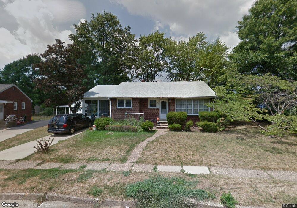
4623 Forrest Ave Pennsauken, NJ 08110
Estimated Value: $203,820 - $331,000
--
Bed
--
Bath
1,162
Sq Ft
$247/Sq Ft
Est. Value
About This Home
This home is located at 4623 Forrest Ave, Pennsauken, NJ 08110 and is currently estimated at $286,955, approximately $246 per square foot. 4623 Forrest Ave is a home located in Camden County with nearby schools including Pennsauken High School, Camdens Promise Charter School, and St. Cecilia School.
Ownership History
Date
Name
Owned For
Owner Type
Purchase Details
Closed on
Oct 14, 2020
Sold by
Tomasso Vincent A and Young Shanon M
Bought by
Tomasso Vincent A
Current Estimated Value
Home Financials for this Owner
Home Financials are based on the most recent Mortgage that was taken out on this home.
Original Mortgage
$88,900
Outstanding Balance
$79,072
Interest Rate
2.9%
Mortgage Type
New Conventional
Estimated Equity
$207,883
Purchase Details
Closed on
May 30, 2003
Sold by
Tomasso Rita A
Bought by
Tomasso Vincent A and Young Shannon M
Home Financials for this Owner
Home Financials are based on the most recent Mortgage that was taken out on this home.
Original Mortgage
$98,800
Interest Rate
5.53%
Create a Home Valuation Report for This Property
The Home Valuation Report is an in-depth analysis detailing your home's value as well as a comparison with similar homes in the area
Home Values in the Area
Average Home Value in this Area
Purchase History
| Date | Buyer | Sale Price | Title Company |
|---|---|---|---|
| Tomasso Vincent A | -- | Land Services Usa Inc | |
| Tomasso Vincent A | $104,000 | -- |
Source: Public Records
Mortgage History
| Date | Status | Borrower | Loan Amount |
|---|---|---|---|
| Open | Tomasso Vincent A | $88,900 | |
| Closed | Tomasso Vincent A | $98,800 |
Source: Public Records
Tax History Compared to Growth
Tax History
| Year | Tax Paid | Tax Assessment Tax Assessment Total Assessment is a certain percentage of the fair market value that is determined by local assessors to be the total taxable value of land and additions on the property. | Land | Improvement |
|---|---|---|---|---|
| 2025 | $5,858 | $268,300 | $58,800 | $209,500 |
| 2024 | $5,745 | $134,600 | $41,800 | $92,800 |
| 2023 | $5,745 | $134,600 | $41,800 | $92,800 |
| 2022 | $5,194 | $134,600 | $41,800 | $92,800 |
| 2021 | $5,334 | $134,600 | $41,800 | $92,800 |
| 2020 | $4,778 | $134,600 | $41,800 | $92,800 |
| 2019 | $4,833 | $134,600 | $41,800 | $92,800 |
| 2018 | $4,859 | $134,600 | $41,800 | $92,800 |
| 2017 | $4,868 | $134,600 | $41,800 | $92,800 |
| 2016 | $4,781 | $134,600 | $41,800 | $92,800 |
| 2015 | $4,924 | $134,600 | $41,800 | $92,800 |
| 2014 | $5,039 | $90,600 | $22,800 | $67,800 |
Source: Public Records
Map
Nearby Homes
- 1519 48th St
- 4741 River Rd
- 446 47th St
- 1601 47th St
- 1524 Browning Rd
- 1408 Hillside Terrace
- 1722 44th St
- 1666 Browning Rd
- 1828 47th St
- 4950 Pleasant Ave
- 1858 47th St
- 1862 45th St
- 3743 Forrest Ave
- 1762 Lexington Ave
- 435 N 41st St
- 4412 Westfield Ave
- 2146 44th St
- 955 N 35th St
- 2154 Browning Rd
- 1765 Hillcrest Ave
- 4613 Forrest Ave
- 513 47th St
- 4603 Forrest Ave
- 4622 Forrest Ave
- 529 47th St
- 4527 Forrest Ave
- 537 47th St
- 4638 Sharon Terrace
- 512 47th St
- 520 47th St
- 4602 Forrest Ave
- 4704 River Rd
- 545 47th St
- 528 47th St
- 4632 Sharon Terrace
- 4519 Forrest Ave
- 4631 Sharon Terrace
- 538 47th St
- 4522 Forrest Ave
- 4711 River Rd