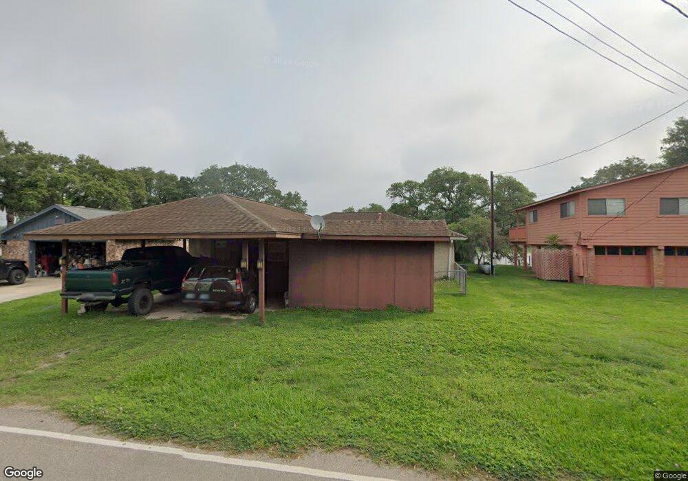
4623 Rio Dr Brazoria, TX 77422
Estimated Value: $258,536 - $339,000
--
Bed
2
Baths
1,834
Sq Ft
$166/Sq Ft
Est. Value
About This Home
This home is located at 4623 Rio Dr, Brazoria, TX 77422 and is currently estimated at $303,884, approximately $165 per square foot. 4623 Rio Dr is a home located in Brazoria County with nearby schools including Sweeny Elementary School, Sweeny Junior High School, and Sweeny High School.
Ownership History
Date
Name
Owned For
Owner Type
Purchase Details
Closed on
Oct 12, 2006
Sold by
Wineland David L and Wineland Bettye C
Bought by
The David L & Bettye C Wineland Revocabl
Current Estimated Value
Purchase Details
Closed on
Mar 3, 1998
Sold by
Peters Alan D
Bought by
Wineland David L and Wineland Bettye C
Home Financials for this Owner
Home Financials are based on the most recent Mortgage that was taken out on this home.
Original Mortgage
$81,000
Outstanding Balance
$14,805
Interest Rate
7.01%
Estimated Equity
$289,079
Create a Home Valuation Report for This Property
The Home Valuation Report is an in-depth analysis detailing your home's value as well as a comparison with similar homes in the area
Home Values in the Area
Average Home Value in this Area
Purchase History
| Date | Buyer | Sale Price | Title Company |
|---|---|---|---|
| The David L & Bettye C Wineland Revocabl | -- | None Available | |
| Wineland David L | -- | -- |
Source: Public Records
Mortgage History
| Date | Status | Borrower | Loan Amount |
|---|---|---|---|
| Open | Wineland David L | $81,000 |
Source: Public Records
Tax History Compared to Growth
Tax History
| Year | Tax Paid | Tax Assessment Tax Assessment Total Assessment is a certain percentage of the fair market value that is determined by local assessors to be the total taxable value of land and additions on the property. | Land | Improvement |
|---|---|---|---|---|
| 2025 | $949 | $158,451 | $36,300 | $244,150 |
| 2023 | $949 | $130,951 | $51,860 | $235,011 |
| 2022 | $2,293 | $119,046 | $37,340 | $152,520 |
| 2021 | $2,275 | $169,820 | $31,120 | $138,700 |
| 2020 | $2,200 | $171,700 | $37,340 | $134,360 |
| 2019 | $2,086 | $134,780 | $29,040 | $105,740 |
| 2018 | $1,873 | $81,310 | $16,600 | $64,710 |
| 2017 | $4,026 | $181,590 | $31,120 | $150,470 |
| 2016 | $3,660 | $192,470 | $26,970 | $165,500 |
| 2014 | $2,143 | $151,420 | $17,110 | $134,310 |
Source: Public Records
Map
Nearby Homes
- 6326 Cuarto St
- Lot 23 Cuarto
- 0 S Belt Dr
- 6314 Sexto St
- 000 Pine St
- 0 N Belt Dr
- 00 N Belt Dr
- TBD N Belt Dr
- 4302 Cr 306
- 6377 County Road 659
- 6418 County Road 659
- 6345 County Road 659
- 5347 County Road 868e
- 5317 County Road 868e
- 0 County Road 659 Unit 51464010
- 6840 County Road 659
- 3054 Fm 2611 Rd
- 7068 County Road 659
- 7088 County Road 659
- 5031 County Road 819