Estimated Value: $166,953 - $254,000
About This Home
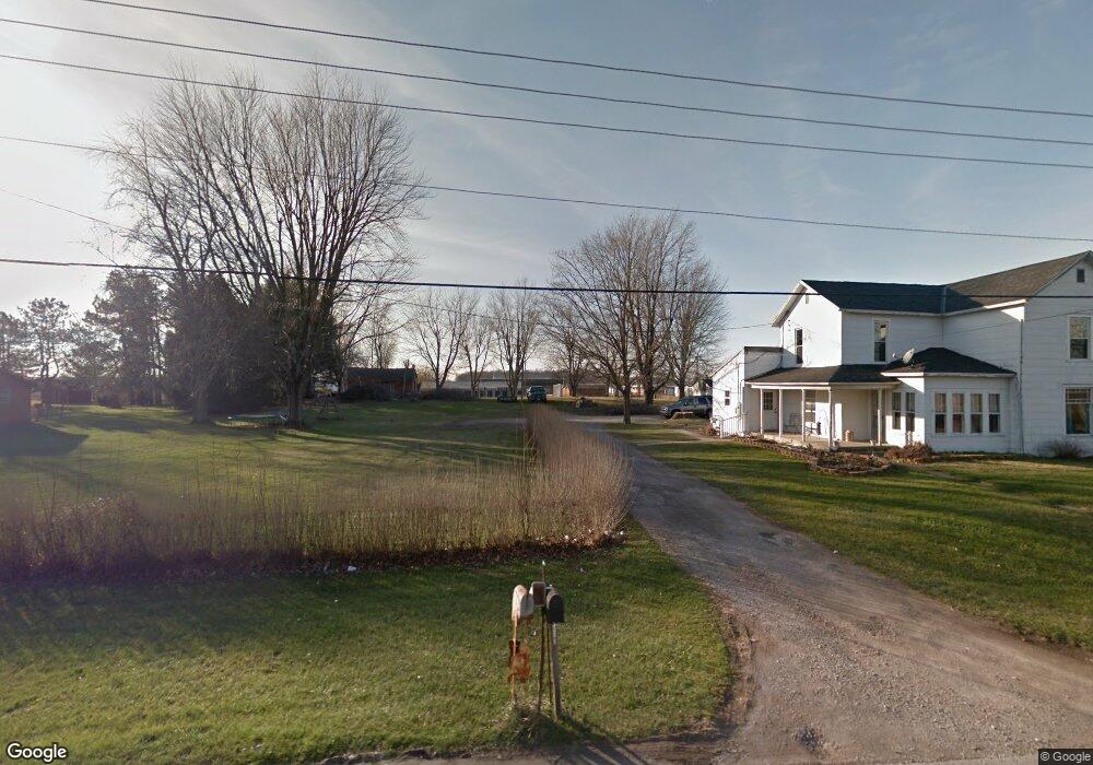
This home is located at 4623 State Route 235, Ada, OH 45810 and is currently estimated at $206,988, approximately $121 per square foot. 4623 State Route 235 is a home located in Hardin County with nearby schools including Ada Elementary School and Ada High School.
Ownership History
We collect this data history from publicly available records. To have your information removed, we recommend requesting removal directly through your county’s website.
Purchase Details
Home Financials for this Owner
Home Financials are based on the most recent Mortgage that was taken out on this home.Home Values in the Area
Average Home Value in this Area
Purchase History
We collect this data history from publicly available records. To have your information removed, we recommend requesting removal directly through your county’s website.
| Date | Buyer | Sale Price | Title Company |
|---|---|---|---|
| $85,000 | None Available |
Mortgage History
We collect this data history from publicly available records. To have your information removed, we recommend requesting removal directly through your county’s website.
| Date | Status | Borrower | Loan Amount |
|---|---|---|---|
| Open | $68,000 |
Tax History
We collect this data history from publicly available records. To have your information removed, we recommend requesting removal directly through your county’s website.
| Year | Tax Paid | Tax Assessment Tax Assessment Total Assessment is a certain percentage of the fair market value that is determined by local assessors to be the total taxable value of land and additions on the property. | Land | Improvement |
|---|---|---|---|---|
| 2025 | $1,268 | $33,650 | $5,600 | $28,050 |
| 2024 | $1,258 | $33,650 | $5,600 | $28,050 |
| 2023 | $1,258 | $33,650 | $5,600 | $28,050 |
| 2022 | $998 | $23,040 | $2,820 | $20,220 |
| 2021 | $1,098 | $23,040 | $2,820 | $20,220 |
| 2020 | $1,112 | $23,040 | $2,820 | $20,220 |
| 2019 | $989 | $20,720 | $2,690 | $18,030 |
| 2018 | $967 | $20,720 | $2,690 | $18,030 |
| 2017 | $943 | $20,720 | $2,690 | $18,030 |
| 2016 | $769 | $17,710 | $2,350 | $15,360 |
| 2015 | $738 | $17,710 | $2,350 | $15,360 |
| 2014 | $6,615 | $17,710 | $2,350 | $15,360 |
| 2013 | $1,012 | $17,830 | $2,350 | $15,480 |
Map
- 2959 County Road 60
- 820 S Main St
- 203 E High Ave
- 710 S Main St
- 314 E University Ave
- 407 Ream St
- 301 S Main St
- 302 S Johnson St
- 510 E Lehr Ave Unit 510R
- 547 E Lincoln Ave Unit Rear
- 1858 County Road 60
- 120 W Buckeye Ave Unit 122
- 210 N Gilbert St
- 210 W Montford Ave
- 406 N Main St
- 222 E Montford Ave
- 128 E Montford Ave
- 423 N Johnson St
- 420 N Simon St
- 425 Liberty St
- 4623 State Route 235
- 4624 State Route 235
- 4663 State Route 235
- 4593 State Route 235
- 4697 Ohio 235
- 4697 State Route 235
- 4563 State Route 235
- 4719 Ohio 235
- 4719 State Route 235
- 4719 State Route
- 4745 State Route
- 4745 Ohio 235
- 4611 State Route
- 4611 State Route 235
- 4745 State Route 235
- #23 4599 Sr
- #9 4599 Sr
- 4599 St Route
- 4599 Sr
- 4599 State Route 235
Ask me questions while you tour the home.