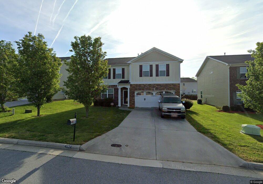
4624 Freestone St High Point, NC 27265
Sandy Ridge NeighborhoodEstimated Value: $408,132 - $438,000
5
Beds
3
Baths
2,820
Sq Ft
$152/Sq Ft
Est. Value
About This Home
This home is located at 4624 Freestone St, High Point, NC 27265 and is currently estimated at $427,533, approximately $151 per square foot. 4624 Freestone St is a home located in Guilford County with nearby schools including Southwest Elementary School, Southwest Guilford Middle School, and Southwest Guilford High School.
Ownership History
Date
Name
Owned For
Owner Type
Purchase Details
Closed on
Jun 9, 2010
Sold by
D R Horton Inc
Bought by
Clinton Larry D and Clinton Barbara A
Current Estimated Value
Home Financials for this Owner
Home Financials are based on the most recent Mortgage that was taken out on this home.
Original Mortgage
$204,742
Outstanding Balance
$138,225
Interest Rate
5.12%
Mortgage Type
FHA
Estimated Equity
$289,309
Create a Home Valuation Report for This Property
The Home Valuation Report is an in-depth analysis detailing your home's value as well as a comparison with similar homes in the area
Home Values in the Area
Average Home Value in this Area
Purchase History
| Date | Buyer | Sale Price | Title Company |
|---|---|---|---|
| Clinton Larry D | $207,500 | None Available |
Source: Public Records
Mortgage History
| Date | Status | Borrower | Loan Amount |
|---|---|---|---|
| Open | Clinton Larry D | $204,742 |
Source: Public Records
Tax History
| Year | Tax Paid | Tax Assessment Tax Assessment Total Assessment is a certain percentage of the fair market value that is determined by local assessors to be the total taxable value of land and additions on the property. | Land | Improvement |
|---|---|---|---|---|
| 2025 | $3,812 | $276,600 | $54,000 | $222,600 |
| 2024 | $3,812 | $276,600 | $54,000 | $222,600 |
| 2023 | $3,812 | $276,600 | $54,000 | $222,600 |
| 2022 | $3,729 | $276,600 | $54,000 | $222,600 |
| 2021 | $3,103 | $225,200 | $48,000 | $177,200 |
| 2020 | $3,103 | $225,200 | $48,000 | $177,200 |
| 2019 | $3,103 | $225,200 | $0 | $0 |
| 2018 | $3,088 | $225,200 | $0 | $0 |
| 2017 | $3,103 | $225,200 | $0 | $0 |
| 2016 | $2,928 | $208,800 | $0 | $0 |
| 2015 | $2,944 | $208,800 | $0 | $0 |
| 2014 | $2,994 | $208,800 | $0 | $0 |
Source: Public Records
Map
Nearby Homes
- 2459 Tannin Ct
- 4630 White Beard Rd
- 2472 Birch View Dr
- 2304 Rockland Cir
- 3114 Ironwood Flat Dr
- 4711 Willowstone Dr
- 4713 Willowstone Dr
- 4715 Willowstone Dr
- 4723 Willowstone Dr
- 4710 Willowstone Dr
- 4725 Willowstone Dr
- 4712 Willowstone Dr
- 4714 Willowstone Dr
- 4716 Willowstone Dr
- 4743 Willowstone Dr
- 4722 Willowstone Dr
- 4358 Ashton Oaks Ct
- 2309 Faircloth Way
- 3025 Sycamore Point Trail
- 715 Piedmont Crossing Dr Unit 14
- 4628 Freestone St
- 4620 Freestone St
- 4616 Freestone St
- 4632 Freestone St
- 4625 Meadowside Terrace
- 4621 Meadowside Terrace
- 4629 Meadowside Terrace
- 2366 Hammock Dr
- 4617 Meadowside Terrace
- 4633 Meadowside Terrace
- 4612 Freestone St
- 4625 Freestone St
- 4621 Freestone St
- 4617 Freestone St
- 4613 Meadowside Terrace
- 4608 Freestone St
- 2362 Hammock Dr
- 4613 Freestone St
- 4609 Meadowside Terrace
- 2407 Hammock Dr
Your Personal Tour Guide
Ask me questions while you tour the home.