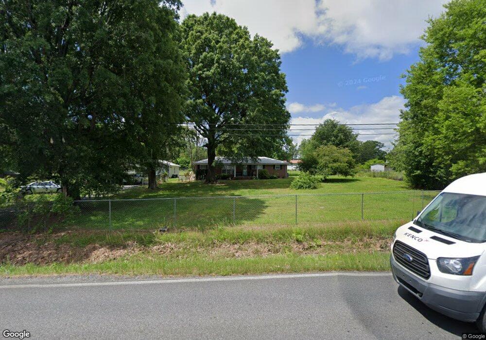
4624 Tibbs Bridge Rd SE Dalton, GA 30721
Estimated Value: $172,113 - $287,000
--
Bed
1
Bath
1,352
Sq Ft
$168/Sq Ft
Est. Value
About This Home
This home is located at 4624 Tibbs Bridge Rd SE, Dalton, GA 30721 and is currently estimated at $227,278, approximately $168 per square foot. 4624 Tibbs Bridge Rd SE is a home located in Whitfield County with nearby schools including Cedar Ridge Elementary School, Eastbrook Middle School, and Southeast Whitfield County High School.
Ownership History
Date
Name
Owned For
Owner Type
Purchase Details
Closed on
Dec 21, 2023
Sold by
Pierce Gary Lamar
Bought by
Edwards Vick Anita Jean
Current Estimated Value
Purchase Details
Closed on
May 19, 2023
Sold by
Pierce Bertha Sue and Dockery Bertha Sue
Bought by
Carranza Percy Orlando
Purchase Details
Closed on
Jun 1, 1997
Bought by
Pierce Gary L
Create a Home Valuation Report for This Property
The Home Valuation Report is an in-depth analysis detailing your home's value as well as a comparison with similar homes in the area
Home Values in the Area
Average Home Value in this Area
Purchase History
| Date | Buyer | Sale Price | Title Company |
|---|---|---|---|
| Edwards Vick Anita Jean | -- | None Listed On Document | |
| Carranza Percy Orlando | $250,000 | None Listed On Document | |
| Pierce Gary L | -- | -- |
Source: Public Records
Tax History Compared to Growth
Tax History
| Year | Tax Paid | Tax Assessment Tax Assessment Total Assessment is a certain percentage of the fair market value that is determined by local assessors to be the total taxable value of land and additions on the property. | Land | Improvement |
|---|---|---|---|---|
| 2024 | $1,304 | $70,132 | $5,887 | $64,245 |
| 2023 | $1,304 | $42,515 | $3,242 | $39,273 |
| 2022 | $689 | $31,902 | $2,646 | $29,256 |
| 2021 | $689 | $31,902 | $2,646 | $29,256 |
| 2020 | $701 | $31,902 | $2,646 | $29,256 |
| 2019 | $707 | $31,902 | $2,646 | $29,256 |
| 2018 | $708 | $31,768 | $2,512 | $29,256 |
| 2017 | $709 | $31,768 | $2,512 | $29,256 |
| 2016 | $610 | $28,976 | $1,933 | $27,043 |
| 2014 | $612 | $30,127 | $3,084 | $27,043 |
| 2013 | -- | $30,127 | $3,084 | $27,042 |
Source: Public Records
Map
Nearby Homes
- 185 Cedar Ridge Rd
- 4322 Banks Dr SE
- 760 Keith Rd SE
- 404 Lakeview Dr SE
- 0 Leon Cir
- 0 Tibbs Bridge Rd SE
- 210 Gordon Dr
- 3214 Headrick Cir SE
- 01 Headrick Cir SE
- 00 Headrick Cir SE
- 0 Cheree Way Unit 129259
- 3657 Airport Rd
- Lt 30-33 Indian Dr NE
- 230 Indian Dr NE
- Lot 30-33 Indian Trail NE
- 0 Old Grade Rd
- Lot 63 Cherokee Dr NE
- 00 Tibbs Bridge Rd
- 1259 Rollins Ketchum Rd
- 1142 Ben Hill Rd SE
- 4612 Tibbs Bridge Rd SE
- 625 Keith Mill Rd SE
- 618 Keith Mill Rd SE
- 4147 Tibbs Bridge Rd SE
- 4638 Tibbs Bridge Rd SE
- 626 Bryson Rd SE
- 639 Keith Mill Rd SE
- 622 Keith Mill Rd SE
- 4646 Tibbs Bridge Rd SE
- 631 Bryson Rd SE
- 631 Bryson Rd SE
- 602 Keith Mill Rd SE
- 619 Bryson Rd SE
- 631 Bryson Rd
- 646 Keith Mill Rd SE
- 4652 Tibbs Bridge Rd SE
- 651 Keith Mill Rd SE
- 4654 Tibbs Bridge Rd SE
- 4617 Bramblett Dr SE
- 4653 Tibbs Bridge Rd SE