4625 Burnside Dr Tobyhanna, PA 18466
Estimated Value: $250,000 - $269,401
3
Beds
1
Bath
2,288
Sq Ft
$114/Sq Ft
Est. Value
About This Home
This home is located at 4625 Burnside Dr, Tobyhanna, PA 18466 and is currently estimated at $261,350, approximately $114 per square foot. 4625 Burnside Dr is a home located in Monroe County with nearby schools including Clear Run Intermediate School, Pocono Mountain West Junior High School, and Pocono Mountain West High School.
Ownership History
Date
Name
Owned For
Owner Type
Purchase Details
Closed on
Jun 12, 2017
Sold by
Osorio Cynthai A
Bought by
Turosz Brian Bruder
Current Estimated Value
Purchase Details
Closed on
Oct 20, 2006
Sold by
Jack Thomas R and Jack Dand V
Bought by
Osorio Cynthia A
Home Financials for this Owner
Home Financials are based on the most recent Mortgage that was taken out on this home.
Original Mortgage
$110,800
Interest Rate
6.85%
Mortgage Type
Adjustable Rate Mortgage/ARM
Create a Home Valuation Report for This Property
The Home Valuation Report is an in-depth analysis detailing your home's value as well as a comparison with similar homes in the area
Home Values in the Area
Average Home Value in this Area
Purchase History
| Date | Buyer | Sale Price | Title Company |
|---|---|---|---|
| Turosz Brian Bruder | $22,882 | None Available | |
| Osorio Cynthia A | $138,500 | None Available |
Source: Public Records
Mortgage History
| Date | Status | Borrower | Loan Amount |
|---|---|---|---|
| Previous Owner | Osorio Cynthia A | $110,800 |
Source: Public Records
Tax History Compared to Growth
Tax History
| Year | Tax Paid | Tax Assessment Tax Assessment Total Assessment is a certain percentage of the fair market value that is determined by local assessors to be the total taxable value of land and additions on the property. | Land | Improvement |
|---|---|---|---|---|
| 2025 | $768 | $77,150 | $18,260 | $58,890 |
| 2024 | $643 | $77,150 | $18,260 | $58,890 |
| 2023 | $2,058 | $77,150 | $18,260 | $58,890 |
| 2022 | $2,021 | $77,150 | $18,260 | $58,890 |
| 2021 | $2,021 | $77,150 | $18,260 | $58,890 |
| 2020 | $542 | $77,150 | $18,260 | $58,890 |
| 2019 | $2,912 | $17,000 | $1,500 | $15,500 |
| 2018 | $2,912 | $17,000 | $1,500 | $15,500 |
| 2017 | $4,114 | $17,000 | $1,500 | $15,500 |
| 2016 | $878 | $23,740 | $5,250 | $18,490 |
| 2015 | $3,354 | $23,740 | $5,250 | $18,490 |
| 2014 | $3,354 | $23,740 | $5,250 | $18,490 |
Source: Public Records
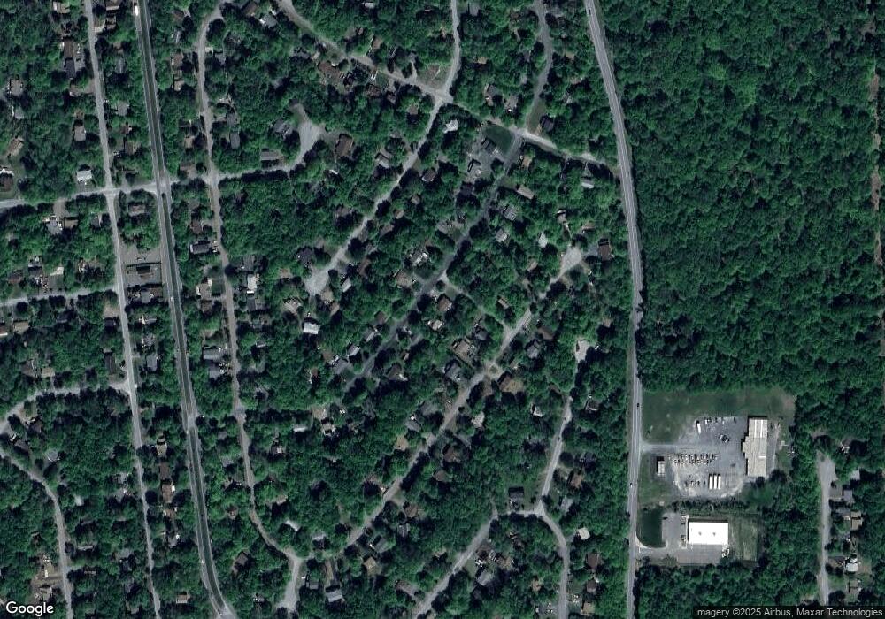
Map
Nearby Homes
- 4623 Burnside Dr
- 4714 Norwood Ln
- 3361 Woodland Dr
- 230 Greenbriar Cir
- 4754 Brentwood Dr
- 4580 Briarcliff Terrace
- 5446 Jennifer Ln
- 3055 Briarwood Dr
- Lot 42 Briarwood Dr
- 3076 Briarwood Dr
- 4587 Briarcliff Terrace
- 247 Carobeth Dr
- 0 Woodland Dr Unit PM-132242
- 3084 Briarwood Dr
- 5426 Ridgefield Dr
- 3426 Primrose Terrace
- 3107 Carobeth Dr
- 3335 Woodland Dr
- 4155 Falcon Terrace
- 4156 Falcon Terrace
- 10 Inwood Rd
- D32 Briarcliff Terrace
- D 12 Burnside Dr
- 4514 Briarcliff Terrace
- 4780 Inwood Dr
- D22 Burnside Dr
- 4783 Inwood Dr Unit D10
- 4621 Burnside Dr
- D-38 Briarcliff Terrace
- 4781 Inwood Dr
- 6 D Burnside Dr
- 107D Burnside Dr
- 112D Burnside Dr
- 107 Burnside Dr
- 110 Burnside Dr
- 112 D Burnside Dr
- 0 Burnside Dr
- 103D Burnside Dr
- 4516 Briarcliff Terrace
- 4516 Briarcliff (Aka37 Briarcliff) Terrace