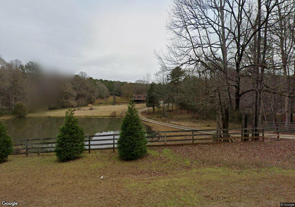
4625 West Point Rd Lagrange, GA 30240
Estimated Value: $343,000 - $423,000
2
Beds
3
Baths
2,276
Sq Ft
$164/Sq Ft
Est. Value
About This Home
This home is located at 4625 West Point Rd, Lagrange, GA 30240 and is currently estimated at $373,384, approximately $164 per square foot. 4625 West Point Rd is a home with nearby schools including Long Cane Elementary School, Berta Weathersbee Elementary School, and West Point Elementary School.
Ownership History
Date
Name
Owned For
Owner Type
Purchase Details
Closed on
Nov 30, 2020
Sold by
Richardson Ralph
Bought by
Bigler Ashton Channing and Clay Rex C
Current Estimated Value
Home Financials for this Owner
Home Financials are based on the most recent Mortgage that was taken out on this home.
Original Mortgage
$216,015
Outstanding Balance
$189,975
Interest Rate
2.8%
Mortgage Type
FHA
Estimated Equity
$183,409
Purchase Details
Closed on
Feb 1, 2011
Sold by
Grizzard Paula Jane
Bought by
Richardson Ralph
Purchase Details
Closed on
Jul 31, 2003
Sold by
Grizzard Paula W and Grizzard Willis W
Bought by
Grizzard Paula J and Grizzard Willis W
Purchase Details
Closed on
Apr 15, 2002
Sold by
Grizzard Willis and Ward Paula
Bought by
Grizzard Paula W and Grizzard Willis W
Purchase Details
Closed on
Feb 12, 1998
Sold by
Paula J Ward
Bought by
Grizzard Willis and Ward Paula
Purchase Details
Closed on
Oct 4, 1995
Sold by
Scott B Smith
Bought by
Paula J Ward
Purchase Details
Closed on
May 23, 1989
Bought by
Scott B Smith
Purchase Details
Closed on
May 1, 1989
Create a Home Valuation Report for This Property
The Home Valuation Report is an in-depth analysis detailing your home's value as well as a comparison with similar homes in the area
Purchase History
| Date | Buyer | Sale Price | Title Company |
|---|---|---|---|
| Bigler Ashton Channing | $220,000 | -- | |
| Richardson Ralph | $162,800 | -- | |
| Grizzard Paula J | -- | -- | |
| Grizzard Paula W | -- | -- | |
| Grizzard Willis | -- | -- | |
| Paula J Ward | $16,000 | -- | |
| Scott B Smith | $10,700 | -- | |
| -- | $44,300 | -- |
Source: Public Records
Mortgage History
| Date | Status | Borrower | Loan Amount |
|---|---|---|---|
| Open | Bigler Ashton Channing | $216,015 |
Source: Public Records
Tax History
| Year | Tax Paid | Tax Assessment Tax Assessment Total Assessment is a certain percentage of the fair market value that is determined by local assessors to be the total taxable value of land and additions on the property. | Land | Improvement |
|---|---|---|---|---|
| 2025 | $3,333 | $127,580 | $17,040 | $110,540 |
| 2024 | $3,165 | $118,036 | $17,040 | $100,996 |
| 2023 | $3,043 | $113,548 | $17,040 | $96,508 |
| 2022 | $3,003 | $107,588 | $17,040 | $90,548 |
| 2021 | $2,654 | $94,264 | $12,000 | $82,264 |
| 2020 | $2,542 | $94,264 | $12,000 | $82,264 |
| 2019 | $2,479 | $92,160 | $12,000 | $80,160 |
| 2018 | $2,257 | $84,800 | $12,000 | $72,800 |
| 2017 | $2,257 | $84,800 | $12,000 | $72,800 |
| 2016 | $2,266 | $85,096 | $12,034 | $73,062 |
| 2015 | $2,267 | $85,096 | $12,034 | $73,062 |
| 2014 | $2,151 | $81,251 | $12,034 | $69,217 |
| 2013 | -- | $82,748 | $12,034 | $70,714 |
Source: Public Records
Map
Nearby Homes
- 102 Bridgewater Dr
- 107 Waters Edge Dr
- 107 Sweetwater Ct
- 640 Hudson Rd
- 105 Redwood Dr
- 266 Glass Bridge Rd
- 5714 W Point Rd
- 0 Glass Bridge Rd Unit 10679358
- 124 Lincoln Ln
- 119 Plymouth Dr
- 311 Cumberland Dr
- 113 Colonial Ct Unit 100
- 101 Ivy Springs Dr
- 22 Freeman Rd
- 104 Hidden Springs Dr
- 0 Cannonville Rd
- 474 Newton Rd
- 40 River Point Dr
- 808 S Fling Rd
- 112 Foxdale Dr
- 6616 Old West Point Rd
- 6658 Old West Point Rd
- 6796 Old West Point Rd
- 4584 W Point Rd
- 4584 West Point Rd
- 4700 West Point Rd
- 6576 Old West Point Rd
- 4734 West Point Rd
- 4504 West Point Rd
- 4475 West Point Rd
- 4506 West Point Rd
- 4782 West Point Rd
- 4534 West Point Rd
- 6545 Old West Point Rd
- 6478 Old West Point Rd
- 6739 Old West Point Rd
- 4779 W Point Rd
- 6789 Old West Point Rd
- 4792 West Point Rd
- 128 Hamilton Dr
Your Personal Tour Guide
Ask me questions while you tour the home.