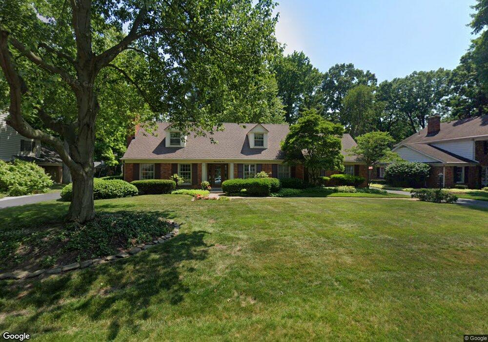
4627 Burningtree Dr Toledo, OH 43623
Franklin Park NeighborhoodEstimated Value: $345,596 - $377,000
4
Beds
3
Baths
2,727
Sq Ft
$131/Sq Ft
Est. Value
About This Home
This home is located at 4627 Burningtree Dr, Toledo, OH 43623 and is currently estimated at $358,399, approximately $131 per square foot. 4627 Burningtree Dr is a home located in Lucas County with nearby schools including Whiteford Elementary School, Sylvania Arbor Hills Junior High School, and Sylvania Southview High School.
Ownership History
Date
Name
Owned For
Owner Type
Purchase Details
Closed on
Sep 8, 1995
Sold by
Swesey Charles E
Bought by
Walters Barry B and Walters Joyce K
Current Estimated Value
Purchase Details
Closed on
Jun 20, 1994
Sold by
Sutton William A
Bought by
Swesey Charles E and Swesey Helen W
Create a Home Valuation Report for This Property
The Home Valuation Report is an in-depth analysis detailing your home's value as well as a comparison with similar homes in the area
Home Values in the Area
Average Home Value in this Area
Purchase History
| Date | Buyer | Sale Price | Title Company |
|---|---|---|---|
| Walters Barry B | $189,000 | -- | |
| Swesey Charles E | $185,000 | -- |
Source: Public Records
Tax History
| Year | Tax Paid | Tax Assessment Tax Assessment Total Assessment is a certain percentage of the fair market value that is determined by local assessors to be the total taxable value of land and additions on the property. | Land | Improvement |
|---|---|---|---|---|
| 2025 | -- | $108,500 | $20,825 | $87,675 |
| 2024 | $3,180 | $108,500 | $20,825 | $87,675 |
| 2023 | $5,383 | $80,745 | $16,625 | $64,120 |
| 2022 | $5,415 | $80,745 | $16,625 | $64,120 |
| 2021 | $5,545 | $80,745 | $16,625 | $64,120 |
| 2020 | $5,059 | $66,850 | $13,895 | $52,955 |
| 2019 | $4,873 | $66,850 | $13,895 | $52,955 |
| 2018 | $4,697 | $66,850 | $13,895 | $52,955 |
| 2017 | $4,897 | $61,950 | $11,130 | $50,820 |
| 2016 | $4,803 | $177,000 | $31,800 | $145,200 |
| 2015 | $4,530 | $177,000 | $31,800 | $145,200 |
| 2014 | $4,609 | $63,560 | $10,710 | $52,850 |
| 2013 | $4,609 | $63,560 | $10,710 | $52,850 |
Source: Public Records
Map
Nearby Homes
- 4426 Rose Garden Dr
- 4420 Rose Garden Dr
- 4550 Vineyard Rd
- 4108 Partridge Ln
- 4737 Sadalia Rd
- 5021 Rudgate Blvd
- 4842 Larkhaven Dr
- 3945 Imperial Blvd
- 5131 Bainbridge Rd
- 4735 Imperial Dr
- 4906 Pine Ridge Rd
- 4733 High Oaks Blvd
- 4727 Clover Ln
- 4770 Springbrook Dr
- 4504 Sulgrave Dr
- 4541 Farmington Rd
- 3805 Ariel Ave
- 4647 Harvest Ln
- 3521 Southpoint Rd
- 5150 Arbor Way
- 4619 Burningtree Dr
- 4639 Burningtree Dr
- 4626 Breckenridge Dr
- 4636 Breckenridge Dr
- 4618 Breckenridge Dr
- 4607 Burningtree Dr
- 4630 Burningtree Dr
- 4622 Burningtree Dr
- 4608 Breckenridge Dr
- 4640 Burningtree Dr
- 4614 Burningtree Dr
- 4425 Mockingbird Ln
- 4606 Burningtree Dr
- 4625 Breckenridge Dr
- 4403 Mockingbird Ln
- 4635 Breckenridge Dr
- 4617 Breckenridge Dr
- 4439 Mockingbird Ln
- 4424 Burningtree Dr
- 4414 Breckenridge Dr
Your Personal Tour Guide
Ask me questions while you tour the home.