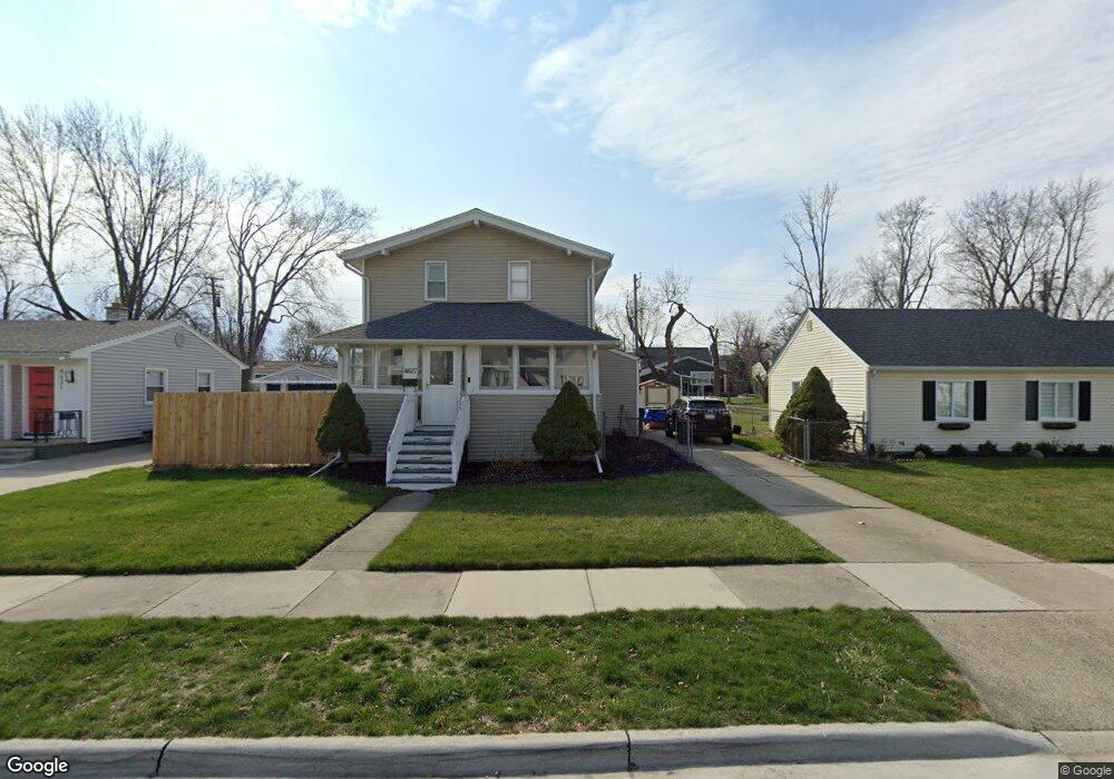
4627 Mankato Ave Unit Bldg-Unit Royal Oak, MI 48073
Estimated Value: $384,291 - $954,000
3
Beds
2
Baths
1,430
Sq Ft
$378/Sq Ft
Est. Value
About This Home
This home is located at 4627 Mankato Ave Unit Bldg-Unit, Royal Oak, MI 48073 and is currently estimated at $540,323, approximately $377 per square foot. 4627 Mankato Ave Unit Bldg-Unit is a home located in Oakland County with nearby schools including Alfred E. Upton Elementary School, Royal Oak Middle School, and Royal Oak High School.
Ownership History
Date
Name
Owned For
Owner Type
Purchase Details
Closed on
Oct 26, 2018
Sold by
Lin Daniel Yong and Yuan Xiru
Bought by
Leland Jason S
Current Estimated Value
Home Financials for this Owner
Home Financials are based on the most recent Mortgage that was taken out on this home.
Original Mortgage
$172,000
Outstanding Balance
$150,930
Interest Rate
4.7%
Mortgage Type
New Conventional
Estimated Equity
$389,393
Purchase Details
Closed on
Nov 20, 2017
Sold by
Brewer Pamela Lynn and Brewer John
Bought by
Lin Daniel Yong and Yuan Ziru
Create a Home Valuation Report for This Property
The Home Valuation Report is an in-depth analysis detailing your home's value as well as a comparison with similar homes in the area
Home Values in the Area
Average Home Value in this Area
Purchase History
| Date | Buyer | Sale Price | Title Company |
|---|---|---|---|
| Leland Jason S | $215,000 | Title One Inc | |
| Lin Daniel Yong | $157,000 | Premier Title Agency Llc |
Source: Public Records
Mortgage History
| Date | Status | Borrower | Loan Amount |
|---|---|---|---|
| Open | Leland Jason S | $172,000 |
Source: Public Records
Tax History Compared to Growth
Tax History
| Year | Tax Paid | Tax Assessment Tax Assessment Total Assessment is a certain percentage of the fair market value that is determined by local assessors to be the total taxable value of land and additions on the property. | Land | Improvement |
|---|---|---|---|---|
| 2024 | $4,256 | $152,800 | $0 | $0 |
| 2022 | $5,029 | $138,980 | $0 | $0 |
| 2020 | $4,136 | $125,480 | $0 | $0 |
| 2018 | $5,029 | $91,310 | $0 | $0 |
| 2017 | $2,650 | $91,310 | $0 | $0 |
| 2015 | -- | $79,490 | $0 | $0 |
| 2014 | -- | $75,570 | $0 | $0 |
| 2011 | -- | $62,290 | $0 | $0 |
Source: Public Records
Map
Nearby Homes
- 4428 Tonawanda Ave
- 4423 Groveland Ave
- 4325 Olivia Ave
- 4516 Robinwood Ave
- 4247 Hampton Blvd
- 4109 Grandview Rd
- 3711 Normandy Rd
- 2070 Sheffield Rd
- 3521 Chester Rd
- 4110 Arlington Dr
- 4625 Leafdale Ave
- 4114 Edgeland Ave
- 4121 Arlington Dr
- 3523 Ravena Ave
- 1544 Sheffield Rd
- 4167 Arlington Dr
- 4164 Seminole Dr
- 3711 Hampton Blvd
- 2511 Massoit Rd
- 2500 Normandy Rd Unit 46
- 4627 Mankato Ave
- 4703 Mankato Ave
- 4621 Mankato Ave
- 4709 Mankato Ave
- 4615 Mankato Ave
- 4620 Hampton Blvd
- 4702 Hampton Blvd
- 4715 Mankato Ave
- 4609 Mankato Ave
- 4614 Hampton Blvd
- 4708 Hampton Blvd
- 4626 Mankato Ave
- 4702 Mankato Ave
- 4620 Mankato Ave
- 4708 Mankato Ave
- 4614 Mankato Ave
- 4608 Hampton Blvd
- 4714 Hampton Blvd
- 4603 Mankato Ave
- 4714 Mankato Ave