4627 Ridge Rd Maysville, WV 26833
Estimated Value: $136,441 - $259,000
3
Beds
1
Bath
1,000
Sq Ft
$179/Sq Ft
Est. Value
About This Home
This home is located at 4627 Ridge Rd, Maysville, WV 26833 and is currently estimated at $179,360, approximately $179 per square foot. 4627 Ridge Rd is a home with nearby schools including Maysville Elementary School and Petersburg High School.
Ownership History
Date
Name
Owned For
Owner Type
Purchase Details
Closed on
Jun 7, 2013
Sold by
Rohrbaugh Betty E and Martin Vernon B
Bought by
Phares Kelli J
Current Estimated Value
Home Financials for this Owner
Home Financials are based on the most recent Mortgage that was taken out on this home.
Original Mortgage
$92,180
Outstanding Balance
$68,837
Interest Rate
3.45%
Estimated Equity
$110,523
Create a Home Valuation Report for This Property
The Home Valuation Report is an in-depth analysis detailing your home's value as well as a comparison with similar homes in the area
Home Values in the Area
Average Home Value in this Area
Purchase History
| Date | Buyer | Sale Price | Title Company |
|---|---|---|---|
| Phares Kelli J | $90,000 | -- |
Source: Public Records
Mortgage History
| Date | Status | Borrower | Loan Amount |
|---|---|---|---|
| Open | Phares Kelli J | $92,180 |
Source: Public Records
Tax History Compared to Growth
Tax History
| Year | Tax Paid | Tax Assessment Tax Assessment Total Assessment is a certain percentage of the fair market value that is determined by local assessors to be the total taxable value of land and additions on the property. | Land | Improvement |
|---|---|---|---|---|
| 2025 | $326 | $41,880 | $12,600 | $29,280 |
| 2024 | $340 | $42,300 | $12,600 | $29,700 |
| 2023 | $332 | $41,400 | $12,600 | $28,800 |
| 2022 | $316 | $39,360 | $12,600 | $26,760 |
| 2021 | $312 | $38,820 | $12,600 | $26,220 |
| 2020 | $305 | $37,980 | $12,600 | $25,380 |
| 2019 | $260 | $38,340 | $12,600 | $25,740 |
| 2018 | $260 | $38,340 | $12,600 | $25,740 |
| 2017 | $262 | $38,640 | $12,600 | $26,040 |
| 2016 | $262 | $38,640 | $12,600 | $26,040 |
| 2015 | $265 | $39,000 | $12,600 | $26,400 |
| 2014 | $266 | $39,120 | $12,600 | $26,520 |
Source: Public Records
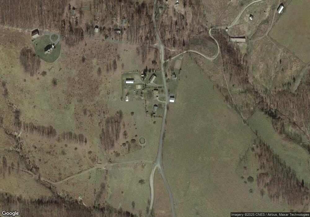
Map
Nearby Homes
- 1294 Winding Ln
- 1039 High Point Dr
- 93 Adare Ln
- 2381 Powers Hollow Rd
- 1079 Little Mountain
- 2467 Roby Rd
- 0 Roby Rd
- 149 Stratus Dr
- 7642 Jordan Run Rd
- 401 Nighthawk Dr
- 775 Corner Rd
- 547 Haven Farms Cir
- 133 Upper Hawk Ridge Rd
- 230 Polar Bear Rd
- 7 Circle Dr
- 228 Meadow Ridge Dr
- 73 Woodland Dr
- 0 Intimidators Rd
- 510 Shamrock Dr
- 107 Trout Ln