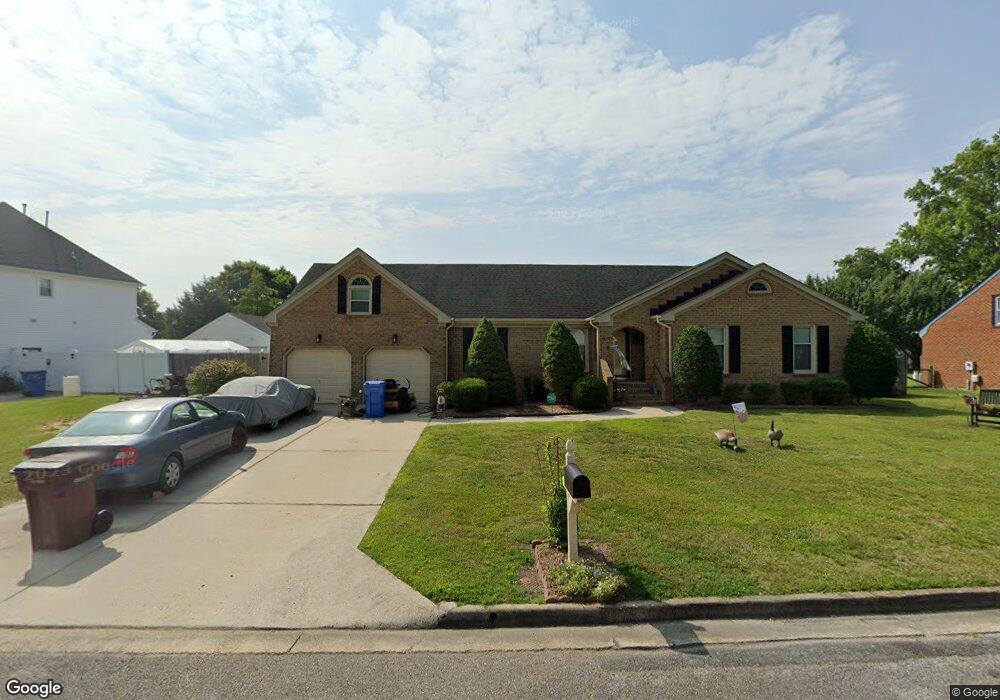
4628 Captain Carter Cir Chesapeake, VA 23321
Western Branch NeighborhoodEstimated Value: $470,170 - $494,000
4
Beds
3
Baths
2,029
Sq Ft
$237/Sq Ft
Est. Value
About This Home
This home is located at 4628 Captain Carter Cir, Chesapeake, VA 23321 and is currently estimated at $480,043, approximately $236 per square foot. 4628 Captain Carter Cir is a home located in Chesapeake City with nearby schools including Edwin W. Chittum Elementary School, Jolliff Middle School, and Western Branch High School.
Ownership History
Date
Name
Owned For
Owner Type
Purchase Details
Closed on
Sep 13, 2010
Sold by
Lazar Daniel
Bought by
Parker Douglas A
Current Estimated Value
Home Financials for this Owner
Home Financials are based on the most recent Mortgage that was taken out on this home.
Original Mortgage
$152,000
Outstanding Balance
$100,726
Interest Rate
4.51%
Mortgage Type
New Conventional
Estimated Equity
$379,317
Create a Home Valuation Report for This Property
The Home Valuation Report is an in-depth analysis detailing your home's value as well as a comparison with similar homes in the area
Home Values in the Area
Average Home Value in this Area
Purchase History
| Date | Buyer | Sale Price | Title Company |
|---|---|---|---|
| Parker Douglas A | $275,000 | -- |
Source: Public Records
Mortgage History
| Date | Status | Borrower | Loan Amount |
|---|---|---|---|
| Open | Parker Douglas A | $152,000 |
Source: Public Records
Tax History
| Year | Tax Paid | Tax Assessment Tax Assessment Total Assessment is a certain percentage of the fair market value that is determined by local assessors to be the total taxable value of land and additions on the property. | Land | Improvement |
|---|---|---|---|---|
| 2025 | $4,222 | $429,300 | $165,000 | $264,300 |
| 2024 | $4,222 | $418,000 | $150,000 | $268,000 |
| 2023 | $3,690 | $398,400 | $140,000 | $258,400 |
| 2022 | $3,709 | $367,200 | $130,000 | $237,200 |
| 2021 | $3,317 | $315,900 | $110,000 | $205,900 |
| 2020 | $3,228 | $307,400 | $110,000 | $197,400 |
| 2019 | $3,256 | $310,100 | $110,000 | $200,100 |
| 2018 | $3,189 | $271,200 | $100,000 | $171,200 |
| 2017 | $3,167 | $301,600 | $95,000 | $206,600 |
| 2016 | $3,104 | $295,600 | $95,000 | $200,600 |
| 2015 | $3,032 | $288,800 | $90,000 | $198,800 |
| 2014 | $2,957 | $281,600 | $90,000 | $191,600 |
Source: Public Records
Map
Nearby Homes
- 4817 Charlton Dr
- 1530 Jolliff Rd
- 1248 Jolliff Rd
- 4704 Wood Stork Dr
- 5533 Willow Lake Rd
- 1456 Branchview Way
- 4808 Oriole Dr
- 1605 Tattinger Trail
- 4916 Breck Ln
- 4924 Apricot Way
- 4922 Apricot Way
- 4930 Apricot Way
- 4934 Apricot Way
- 4932 Apricot Way
- 4936 Apricot Way
- 4938 Apricot Way
- 4944 Apricot Way
- 4942 Apricot Way
- 4948 Apricot Way
- 4954 Apricot Way
- 4626 Captain Carter Cir
- 4632 Captain Carter Cir
- 4631 Captain Carter Cir
- 4608 Watson Way
- 4633 Captain Carter Cir
- 4604 Watson Way
- 4636 Captain Carter Cir
- 4600 Pittway Ct
- 4624 Captain Carter Cir
- 4637 Captain Carter Cir
- 4601 Pittway Ct
- 4609 Watson Way
- 1329 Creekview Dr
- 4602 Pittway Ct
- 4600 Watson Way
- 4620 Captain Carter Cir
- 4640 Captain Carter Cir
- 4639 Captain Carter Cir
- LOT 46 Creekview Dr
- 4621 Captain Carter Cir
Your Personal Tour Guide
Ask me questions while you tour the home.