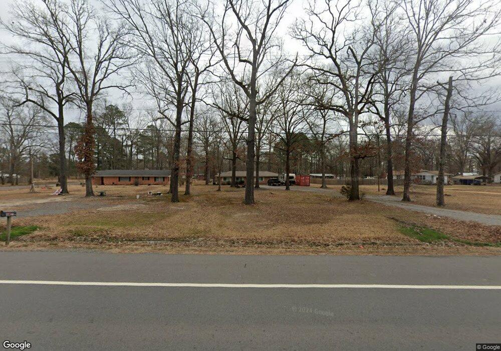
4628 Highway 67 S Gurdon, AR 71743
Estimated Value: $126,801 - $170,000
--
Bed
2
Baths
1,352
Sq Ft
$115/Sq Ft
Est. Value
About This Home
This home is located at 4628 Highway 67 S, Gurdon, AR 71743 and is currently estimated at $154,950, approximately $114 per square foot. 4628 Highway 67 S is a home located in Clark County with nearby schools including Louisa Perritt Primary School, Central Primary School, and Peake Elementary School.
Ownership History
Date
Name
Owned For
Owner Type
Purchase Details
Closed on
May 11, 2022
Sold by
Sharp Michael D
Bought by
Doyle Sharps Irrevocable Trust
Current Estimated Value
Purchase Details
Closed on
Jul 12, 2019
Sold by
Pilot Investment Properties Llc
Bought by
Sharp Michael D
Home Financials for this Owner
Home Financials are based on the most recent Mortgage that was taken out on this home.
Original Mortgage
$65,000
Interest Rate
3.82%
Mortgage Type
New Conventional
Purchase Details
Closed on
Jun 7, 2017
Sold by
Homer Wayne Easley Estate
Bought by
Easley Tommie Faye
Purchase Details
Closed on
Aug 28, 2006
Bought by
Easley Homer W and Easley Tommie F
Purchase Details
Closed on
Jan 30, 2006
Bought by
Pacu Investments
Purchase Details
Closed on
Dec 21, 2005
Bought by
Wray Debra
Purchase Details
Closed on
Dec 12, 2005
Bought by
Wray Debra
Purchase Details
Closed on
Jun 29, 2004
Bought by
State
Purchase Details
Closed on
Jun 29, 2001
Bought by
Wray Debra
Purchase Details
Closed on
Jul 1, 1999
Bought by
State
Create a Home Valuation Report for This Property
The Home Valuation Report is an in-depth analysis detailing your home's value as well as a comparison with similar homes in the area
Home Values in the Area
Average Home Value in this Area
Purchase History
| Date | Buyer | Sale Price | Title Company |
|---|---|---|---|
| Doyle Sharps Irrevocable Trust | -- | Jurist Law Group Pllc | |
| Sharp Michael D | $105,000 | First American Title | |
| Easley Tommie Faye | -- | -- | |
| Easley Homer W | $32,000 | -- | |
| Pacu Investments | -- | -- | |
| Wray Debra | -- | -- | |
| Wray Debra | -- | -- | |
| State | -- | -- | |
| Wray Debra | -- | -- | |
| State | -- | -- |
Source: Public Records
Mortgage History
| Date | Status | Borrower | Loan Amount |
|---|---|---|---|
| Previous Owner | Sharp Michael D | $65,000 |
Source: Public Records
Tax History Compared to Growth
Tax History
| Year | Tax Paid | Tax Assessment Tax Assessment Total Assessment is a certain percentage of the fair market value that is determined by local assessors to be the total taxable value of land and additions on the property. | Land | Improvement |
|---|---|---|---|---|
| 2024 | $848 | $16,380 | $1,000 | $15,380 |
| 2023 | $848 | $16,380 | $1,000 | $15,380 |
| 2022 | $848 | $16,380 | $1,000 | $15,380 |
| 2021 | $848 | $16,380 | $1,000 | $15,380 |
| 2020 | $423 | $16,380 | $1,000 | $15,380 |
| 2019 | $423 | $8,170 | $1,000 | $7,170 |
| 2018 | $419 | $8,170 | $1,000 | $7,170 |
| 2017 | $69 | $8,170 | $1,000 | $7,170 |
| 2016 | $69 | $8,170 | $1,000 | $7,170 |
| 2015 | $419 | $8,170 | $1,000 | $7,170 |
| 2014 | $405 | $8,890 | $1,000 | $7,890 |
Source: Public Records
Map
Nearby Homes
- 4628 U S 67
- 4622 Highway 67 S
- 29 Callaway Rd
- 4642 Highway 67 S
- S Highway 67
- 4652 Highway 67 S
- 37 Callaway Rd
- 4627 Highway 67 S
- 130 Boyce Rd
- 47 Callaway Rd
- 4596 Highway 67 S
- 4651 Highway 67 S
- 4605 Highway 67 S
- 48 Callaway Rd
- 4605 U S 67
- 4584 Highway 67 S
- 57 Callaway Rd
- 4576 Highway 67 S
- 67 Callaway Rd
- 4566 Highway 67 S