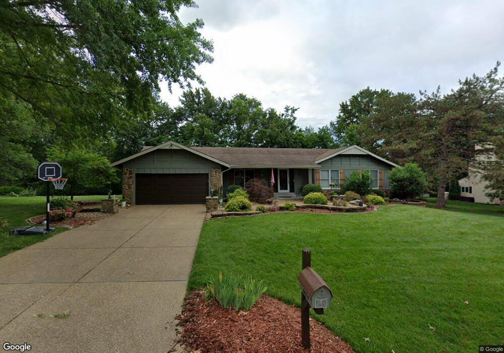
4629 Briargate Dr Saint Charles, MO 63304
Estimated Value: $365,301 - $423,000
3
Beds
3
Baths
1,756
Sq Ft
$226/Sq Ft
Est. Value
About This Home
This home is located at 4629 Briargate Dr, Saint Charles, MO 63304 and is currently estimated at $397,325, approximately $226 per square foot. 4629 Briargate Dr is a home located in St. Charles County with nearby schools including Independence Elementary School, Bryan Middle School, and Francis Howell Union High School.
Ownership History
Date
Name
Owned For
Owner Type
Purchase Details
Closed on
Aug 12, 2005
Sold by
Bailey Charles and Bailey Elva
Bought by
Burris James and Burris Laura
Current Estimated Value
Home Financials for this Owner
Home Financials are based on the most recent Mortgage that was taken out on this home.
Original Mortgage
$130,000
Outstanding Balance
$68,948
Interest Rate
5.81%
Mortgage Type
Fannie Mae Freddie Mac
Estimated Equity
$328,377
Create a Home Valuation Report for This Property
The Home Valuation Report is an in-depth analysis detailing your home's value as well as a comparison with similar homes in the area
Home Values in the Area
Average Home Value in this Area
Purchase History
| Date | Buyer | Sale Price | Title Company |
|---|---|---|---|
| Burris James | -- | Inv |
Source: Public Records
Mortgage History
| Date | Status | Borrower | Loan Amount |
|---|---|---|---|
| Open | Burris James | $130,000 |
Source: Public Records
Tax History
| Year | Tax Paid | Tax Assessment Tax Assessment Total Assessment is a certain percentage of the fair market value that is determined by local assessors to be the total taxable value of land and additions on the property. | Land | Improvement |
|---|---|---|---|---|
| 2025 | $3,384 | $62,196 | -- | -- |
| 2023 | $3,383 | $56,608 | $0 | $0 |
| 2022 | $2,993 | $46,495 | $0 | $0 |
| 2021 | $2,996 | $46,495 | $0 | $0 |
| 2020 | $2,945 | $44,243 | $0 | $0 |
| 2019 | $2,932 | $44,243 | $0 | $0 |
| 2018 | $2,835 | $40,883 | $0 | $0 |
| 2017 | $2,811 | $40,883 | $0 | $0 |
| 2016 | $2,635 | $36,883 | $0 | $0 |
| 2015 | $2,601 | $36,883 | $0 | $0 |
| 2014 | $2,730 | $37,554 | $0 | $0 |
Source: Public Records
Map
Nearby Homes
- 4108 Millers Ridge
- 50 Crocknaraw Ln
- 862 Whitmoor Dr
- 4537 Dakota Trail
- 1015 Dingledine Rd
- 5013 Royal Burgess Dr
- 1 Waverly @ Kreder Farms
- 1 Jackson @ Kreder Farms
- 1 Quincy @ Kreder Farms
- 207 Kreder Ln
- 1 Barkley @ Kreder Farms
- 6 Whitmoor Ct
- 1317 Renaissance Place
- 1 Rockport @ Kreder Farms
- 1 Savoy @ Kreder Farms
- 1 Kingston @ Kreder Farms
- 1 Monaco @ Kreder Farms
- 1 Sienna @ Kreder Farms
- 1 Rochester @ Kreder Farms
- 1 Sydney @ Kreder Farms
- 4633 Briargate Dr
- 5 Bal Harbor Ct
- 02BBLT Kensington-Ap
- 4 Bal Harbor Ct
- 4628 Briargate Dr
- 4622 Briargate Dr
- 4637 Briargate Dr
- 6 Bal Harbor Ct
- 4621 Briargate Dr
- 39 Kensington Place Ct
- 7 Bal Harbor Ct
- 32 Kensington Place Ct
- 3 Bal Harbor Ct
- 4641 Briargate Dr
- 4617 Briargate Dr
- 8 Bal Harbor Ct
- 4618 Briargate Dr
- 38 Kensington Place Ct
- 4640 Briargate Dr
- 24 Friars Hall Ct
Your Personal Tour Guide
Ask me questions while you tour the home.