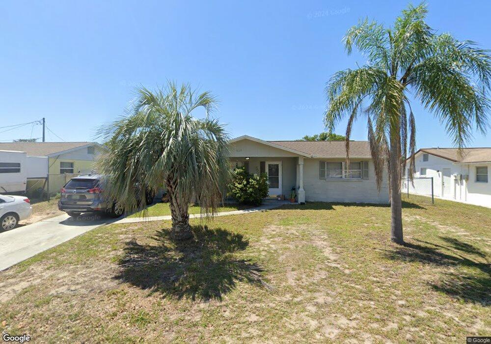
4629 Croton Dr Unit 3 New Port Richey, FL 34652
Estimated Value: $182,000 - $276,000
2
Beds
2
Baths
1,783
Sq Ft
$125/Sq Ft
Est. Value
About This Home
This home is located at 4629 Croton Dr Unit 3, New Port Richey, FL 34652 and is currently estimated at $223,193, approximately $125 per square foot. 4629 Croton Dr Unit 3 is a home located in Pasco County with nearby schools including Mittye P. Locke Elementary School, Richey Elementary School, and Gulf Middle School.
Ownership History
Date
Name
Owned For
Owner Type
Purchase Details
Closed on
Nov 2, 2011
Sold by
Johnson David Alan
Bought by
Wwdta Llc
Current Estimated Value
Purchase Details
Closed on
Jun 11, 2009
Sold by
Goodrich Christi Lyn
Bought by
Johnson David Alan
Home Financials for this Owner
Home Financials are based on the most recent Mortgage that was taken out on this home.
Original Mortgage
$42,000
Interest Rate
4.77%
Mortgage Type
Purchase Money Mortgage
Purchase Details
Closed on
Jun 8, 2009
Sold by
Quiney Elizabeth Ann
Bought by
Johnson David Alan
Home Financials for this Owner
Home Financials are based on the most recent Mortgage that was taken out on this home.
Original Mortgage
$42,000
Interest Rate
4.77%
Mortgage Type
Purchase Money Mortgage
Create a Home Valuation Report for This Property
The Home Valuation Report is an in-depth analysis detailing your home's value as well as a comparison with similar homes in the area
Home Values in the Area
Average Home Value in this Area
Purchase History
| Date | Buyer | Sale Price | Title Company |
|---|---|---|---|
| Wwdta Llc | $55,000 | Talon Title Services Llc | |
| Johnson David Alan | $26,250 | Galaxy Title Agency Llc | |
| Johnson David Alan | $26,250 | Galaxy Title Agency Llc |
Source: Public Records
Mortgage History
| Date | Status | Borrower | Loan Amount |
|---|---|---|---|
| Previous Owner | Johnson David Alan | $42,000 |
Source: Public Records
Tax History Compared to Growth
Tax History
| Year | Tax Paid | Tax Assessment Tax Assessment Total Assessment is a certain percentage of the fair market value that is determined by local assessors to be the total taxable value of land and additions on the property. | Land | Improvement |
|---|---|---|---|---|
| 2025 | $2,435 | $195,204 | $39,161 | $156,043 |
| 2024 | $2,435 | $198,008 | $37,808 | $160,200 |
| 2023 | $2,361 | $83,890 | $0 | $0 |
| 2022 | $1,765 | $145,232 | $26,166 | $119,066 |
| 2021 | $1,461 | $99,379 | $17,640 | $81,739 |
| 2020 | $1,341 | $90,302 | $11,760 | $78,542 |
| 2019 | $1,274 | $87,232 | $11,760 | $75,472 |
| 2018 | $1,129 | $72,081 | $11,760 | $60,321 |
| 2017 | $942 | $47,371 | $11,760 | $35,611 |
| 2016 | $899 | $46,578 | $11,760 | $34,818 |
| 2015 | $895 | $45,387 | $11,760 | $33,627 |
| 2014 | $822 | $42,424 | $10,996 | $31,428 |
Source: Public Records
Map
Nearby Homes
- 4614 Croton Dr
- 4548 Somerset Place
- 5753 10th Ave
- 4520 Iris Dr
- 4526 Annette St
- 5746 Embay Ave
- 4853 Alcea St
- 5851 Lanate Ave
- 4923 Alcea St
- 4746 Azalea Dr Unit 107
- 4746 Azalea Dr Unit 209
- 4746 Azalea Dr Unit 201
- 4746 Azalea Dr Unit 105
- 5419 Palm Dr Unit 130
- 5330 Poinsettia Dr
- 4744 Azalea Dr Unit 203
- 5744 Sunshine Park Dr
- 5831 1st Ave
- 5023 Thames Dr
- 4915 Daphne St
- 4623 Croton Dr
- 4628 Mayflower Dr
- 4622 Mayflower Dr
- 4636 Mayflower Dr
- 4617 Croton Dr
- 4630 Croton Dr
- 4643 Croton Dr
- 4622 Croton Dr
- 4616 Mayflower Dr
- 4636 Croton Dr
- 4644 Mayflower Dr
- 4644 Croton Dr
- 5552 Tulip Dr
- 4651 Croton Dr
- 5641 Hamilton Harbor Dr
- 4608 Croton Dr
- 5553 Daisy Dr
- 4639 Mayflower Dr
- 4652 Mayflower Dr
- 4650 Croton Dr