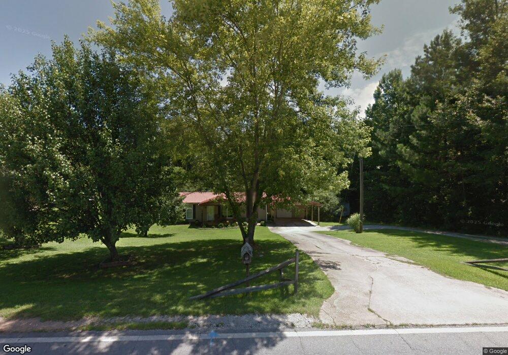
463 Broad St Tallapoosa, GA 30176
Estimated Value: $179,116 - $223,000
3
Beds
1
Bath
1,050
Sq Ft
$186/Sq Ft
Est. Value
About This Home
This home is located at 463 Broad St, Tallapoosa, GA 30176 and is currently estimated at $195,779, approximately $186 per square foot. 463 Broad St is a home located in Haralson County with nearby schools including Haralson County High School.
Ownership History
Date
Name
Owned For
Owner Type
Purchase Details
Closed on
Nov 9, 2015
Sold by
Mccarty Joann
Bought by
Mccarty Joann and Mccarty Randy
Current Estimated Value
Purchase Details
Closed on
May 5, 2003
Sold by
Kimball Ronnie H
Bought by
Teater Joann and Kimball Joann L
Purchase Details
Closed on
Feb 9, 1998
Sold by
Teater Joann
Bought by
Teater Joann and Kimball Ronnie
Purchase Details
Closed on
Dec 13, 1997
Sold by
Teater Chris Edward
Bought by
Teater Joann
Purchase Details
Closed on
Feb 23, 1990
Sold by
Moore Glenn
Bought by
Teater Chris Edward
Create a Home Valuation Report for This Property
The Home Valuation Report is an in-depth analysis detailing your home's value as well as a comparison with similar homes in the area
Home Values in the Area
Average Home Value in this Area
Purchase History
| Date | Buyer | Sale Price | Title Company |
|---|---|---|---|
| Mccarty Joann | -- | -- | |
| Teater Joann | -- | -- | |
| Teater Joann | -- | -- | |
| Teater Joann | -- | -- | |
| Teater Chris Edward | -- | -- |
Source: Public Records
Tax History Compared to Growth
Tax History
| Year | Tax Paid | Tax Assessment Tax Assessment Total Assessment is a certain percentage of the fair market value that is determined by local assessors to be the total taxable value of land and additions on the property. | Land | Improvement |
|---|---|---|---|---|
| 2024 | $1,330 | $43,810 | $4,834 | $38,976 |
| 2023 | $682 | $45,855 | $4,560 | $41,295 |
| 2022 | $871 | $35,757 | $4,560 | $31,197 |
| 2021 | $863 | $34,012 | $4,560 | $29,452 |
| 2020 | $883 | $34,632 | $4,560 | $30,072 |
| 2019 | $852 | $32,357 | $4,560 | $27,797 |
| 2018 | $594 | $22,915 | $4,560 | $18,355 |
| 2017 | $591 | $20,998 | $4,560 | $16,438 |
| 2016 | $484 | $18,610 | $4,560 | $14,050 |
| 2015 | $477 | $18,273 | $4,560 | $13,714 |
| 2014 | $589 | $21,509 | $7,600 | $13,909 |
Source: Public Records
Map
Nearby Homes
- 421 Broad St
- 28 McDonald Ridge
- 75 McDonald Rd
- 110 Dunson Rd
- 194 Faye St
- 174 Faye St
- 135 Oakland Ct
- 200 Mohawk Dr
- 80 Broad St
- 622 Cedartown Ave
- 0 Creek Dr Unit 148038
- 0 Cherokee Dr Unit 148037
- 00 Bethany St
- 0 Bethany St Unit 10655598
- 397 Steadman Rd
- 3230 Steadman Rd Unit 265
- LOT 1 Steadman Rd
- LOT 2 Steadman Rd
- 3230 Steadman Rd
- 0 White St Unit 10638753
- 489 Broad St
- 473 Broad St
- 470 Broad St
- 47 Greenwood St
- 452 Broad St
- 45 Greenwood St
- 444 Broad St
- 431 Broad St
- 0 McDonald Ridge Unit 7183664
- 432 Broad St
- 31 Greenwood St
- 10 McDonald Ridge
- 0 Greenwood St Unit 8266929
- 33 Main Dr
- 5 McDonald Ridge
- 26 Greenwood St
- 57 McDonald Rd
- 411 Broad Streets
- 411 Broad St
- 530 Broad St