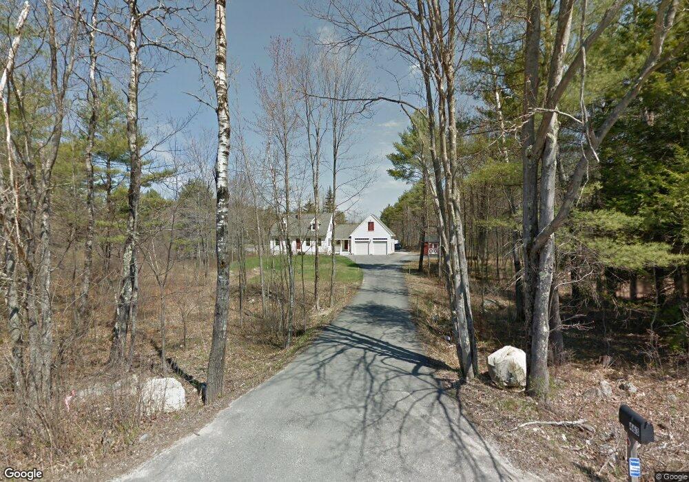
463 Brown Rd Durham, ME 04222
Estimated Value: $461,000 - $634,000
3
Beds
2
Baths
1,739
Sq Ft
$310/Sq Ft
Est. Value
About This Home
This home is located at 463 Brown Rd, Durham, ME 04222 and is currently estimated at $538,807, approximately $309 per square foot. 463 Brown Rd is a home with nearby schools including Durham Community School and Freeport High School.
Create a Home Valuation Report for This Property
The Home Valuation Report is an in-depth analysis detailing your home's value as well as a comparison with similar homes in the area
Home Values in the Area
Average Home Value in this Area
Tax History
| Year | Tax Paid | Tax Assessment Tax Assessment Total Assessment is a certain percentage of the fair market value that is determined by local assessors to be the total taxable value of land and additions on the property. | Land | Improvement |
|---|---|---|---|---|
| 2024 | $5,533 | $254,400 | $68,000 | $186,400 |
| 2023 | $5,431 | $254,400 | $68,000 | $186,400 |
| 2022 | $5,266 | $254,400 | $68,000 | $186,400 |
| 2021 | $5,266 | $254,400 | $68,000 | $186,400 |
| 2020 | $5,152 | $254,400 | $68,000 | $186,400 |
| 2019 | $5,152 | $254,400 | $68,000 | $186,400 |
| 2018 | $4,903 | $248,900 | $68,000 | $180,900 |
| 2016 | $4,679 | $248,900 | $68,000 | $180,900 |
| 2015 | $4,331 | $248,900 | $68,000 | $180,900 |
| 2014 | $4,144 | $248,900 | $68,000 | $180,900 |
| 2013 | $3,721 | $248,900 | $68,000 | $180,900 |
Source: Public Records
Map
Nearby Homes
Your Personal Tour Guide
Ask me questions while you tour the home.