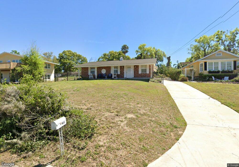
463 Carroll St Clermont, FL 34711
Estimated Value: $270,000 - $468,000
3
Beds
2
Baths
1,260
Sq Ft
$271/Sq Ft
Est. Value
About This Home
This home is located at 463 Carroll St, Clermont, FL 34711 and is currently estimated at $342,072, approximately $271 per square foot. 463 Carroll St is a home located in Lake County with nearby schools including Aurelia Cole Academy, South Lake High School, and Wesley Christian Academy.
Ownership History
Date
Name
Owned For
Owner Type
Purchase Details
Closed on
Dec 17, 1999
Sold by
Kemp Mary Jane and Mcguire James M
Bought by
Mcguire John F
Current Estimated Value
Home Financials for this Owner
Home Financials are based on the most recent Mortgage that was taken out on this home.
Original Mortgage
$60,375
Outstanding Balance
$18,327
Interest Rate
7.9%
Mortgage Type
Purchase Money Mortgage
Estimated Equity
$323,745
Purchase Details
Closed on
Nov 14, 1996
Sold by
Douglass Rita Mary
Bought by
Kemp Mary Jane and Mcguire James M
Create a Home Valuation Report for This Property
The Home Valuation Report is an in-depth analysis detailing your home's value as well as a comparison with similar homes in the area
Purchase History
| Date | Buyer | Sale Price | Title Company |
|---|---|---|---|
| Mcguire John F | $60,400 | -- | |
| Kemp Mary Jane | -- | -- |
Source: Public Records
Mortgage History
| Date | Status | Borrower | Loan Amount |
|---|---|---|---|
| Open | Mcguire John F | $60,375 |
Source: Public Records
Tax History
| Year | Tax Paid | Tax Assessment Tax Assessment Total Assessment is a certain percentage of the fair market value that is determined by local assessors to be the total taxable value of land and additions on the property. | Land | Improvement |
|---|---|---|---|---|
| 2026 | $826 | $94,680 | -- | -- |
| 2025 | $793 | $92,110 | -- | -- |
| 2024 | $793 | $92,110 | -- | -- |
| 2023 | $793 | $86,830 | $0 | $0 |
| 2022 | $753 | $84,310 | $0 | $0 |
| 2021 | $705 | $81,860 | $0 | $0 |
| 2020 | $692 | $80,730 | $0 | $0 |
| 2019 | $690 | $78,915 | $0 | $0 |
| 2018 | $644 | $77,444 | $0 | $0 |
| 2017 | $624 | $75,852 | $0 | $0 |
| 2016 | $619 | $74,292 | $0 | $0 |
| 2015 | $637 | $73,776 | $0 | $0 |
| 2014 | $626 | $73,191 | $0 | $0 |
Source: Public Records
Map
Nearby Homes
- 495 Carroll St
- 444 2nd St
- 214 W Osceola St
- 791 Lake Ave
- 560 W Juniata St
- 2411 Palm St
- 770 W Broome St
- 0 East Ave Unit MFRG5095417
- 220 E Desoto St Unit 4
- 161 Nautica Mile Dr
- 660 Shady Nook Dr
- 883 10th St
- 1422 5th St
- 0 W Highway 50
- 1347 East Ave
- 241 Nautica Mile Dr
- 245 W Magnolia St
- 152 Riggings Way
- 0 E Minneola Ave
- 333 Nautica Mile Dr
Your Personal Tour Guide
Ask me questions while you tour the home.