Estimated Value: $406,000 - $499,892
3
Beds
4
Baths
2,600
Sq Ft
$174/Sq Ft
Est. Value
About This Home
This home is located at 463 Doe Run Dr, Cairo, GA 39828 and is currently estimated at $451,473, approximately $173 per square foot. 463 Doe Run Dr is a home located in Grady County with nearby schools including Cairo High School.
Ownership History
Date
Name
Owned For
Owner Type
Purchase Details
Closed on
Jun 16, 2010
Sold by
Fannie Mae
Bought by
Cobb Daniel
Current Estimated Value
Purchase Details
Closed on
Apr 28, 2010
Sold by
Brown Kelly D
Bought by
Federal National Mortg
Purchase Details
Closed on
Apr 6, 2010
Sold by
Suntrust Mortgage Inc
Bought by
Federal National Mortgage Association
Purchase Details
Closed on
Dec 3, 2001
Sold by
Bell W O
Bought by
Brown Kelly D
Create a Home Valuation Report for This Property
The Home Valuation Report is an in-depth analysis detailing your home's value as well as a comparison with similar homes in the area
Purchase History
| Date | Buyer | Sale Price | Title Company |
|---|---|---|---|
| Cobb Daniel | $255,000 | -- | |
| Federal National Mortg | -- | -- | |
| Federal National Mortgage Association | $175,800 | -- | |
| Suntrust Mortgage Inc | $175,800 | -- | |
| Brown Kelly D | $35,700 | -- |
Source: Public Records
Tax History
| Year | Tax Paid | Tax Assessment Tax Assessment Total Assessment is a certain percentage of the fair market value that is determined by local assessors to be the total taxable value of land and additions on the property. | Land | Improvement |
|---|---|---|---|---|
| 2024 | $4,969 | $172,681 | $21,428 | $151,253 |
| 2023 | $4,969 | $163,421 | $32,680 | $130,741 |
| 2022 | $4,969 | $163,421 | $32,680 | $130,741 |
| 2021 | $4,985 | $163,421 | $32,680 | $130,741 |
| 2020 | $5,002 | $163,421 | $32,680 | $130,741 |
| 2019 | $5,064 | $163,421 | $32,680 | $130,741 |
| 2018 | $4,754 | $163,421 | $32,680 | $130,741 |
| 2017 | $4,525 | $163,421 | $32,680 | $130,741 |
| 2016 | $4,107 | $147,460 | $32,680 | $114,780 |
| 2015 | $4,057 | $147,460 | $32,680 | $114,780 |
| 2014 | $4,063 | $147,460 | $32,680 | $114,780 |
| 2013 | -- | $146,008 | $16,718 | $129,290 |
Source: Public Records
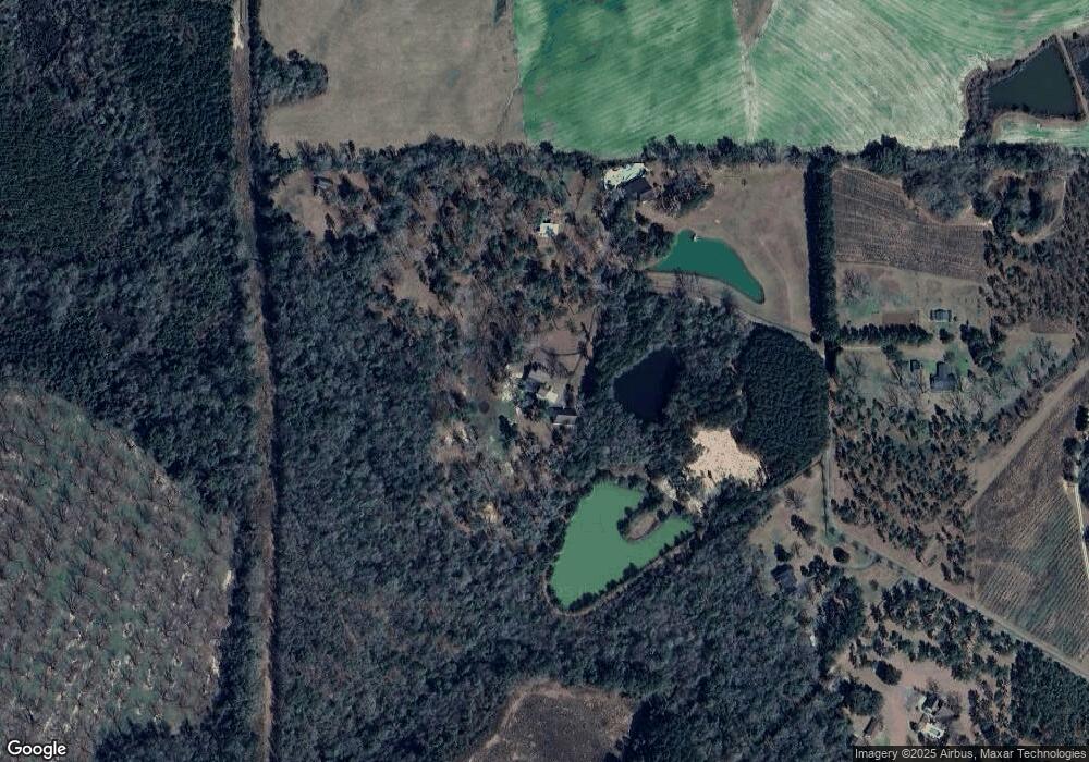
Map
Nearby Homes
- 3109 U S 84
- 3109 U S 84
- 78.6 Ac Strickland Rd
- 2600 U S 84
- 21 24th St NE
- 66 22nd St NE
- 129 Alison Dr
- 0 20th St NE
- 00 20th St NE
- 4164 U S 84 Unit Lot Q
- 408 Bay Tree Rd NE
- 592 20th St SE
- 161 Evergreen Ln
- 0 State Route 188
- 00 State Route 188
- 711 2nd Ave NE
- 414 Woodland Rd
- 530 6th St
- 00 Blackberry Ln
- 00 Meridian Rd
- 452 Doe Run Dr
- 452 Doe Run Dr
- 490 Doe Run Dr
- 359 Doe Run Dr
- 344 Doe Run Dr
- 00 Doe Run Dr
- 321 Doe Run Dr
- 3467 Us Highway 84 E
- 286 Doe Run Dr
- 3263 Us Highway 84 E
- 277 Doe Run Dr
- 210 Doe Run Dr
- 3263 Us Highway 84 E
- 3294 Us Highway 84 E
- 3223 Us Highway 84 E
- 3256 U S 84
- 3256 Us Highway 84 E
- 277 Doe Run Dr
- 3447 Us Highway 84 E
- 244 Doe Run Dr