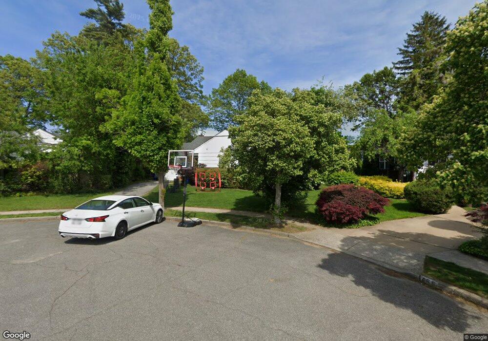
463 Dunster Ct West Hempstead, NY 11552
Estimated Value: $837,000 - $858,417
--
Bed
2
Baths
1,631
Sq Ft
$520/Sq Ft
Est. Value
About This Home
This home is located at 463 Dunster Ct, West Hempstead, NY 11552 and is currently estimated at $847,709, approximately $519 per square foot. 463 Dunster Ct is a home located in Nassau County with nearby schools including Hebrew Academy of Nassau County (HANC).
Ownership History
Date
Name
Owned For
Owner Type
Purchase Details
Closed on
Feb 20, 2020
Sold by
Levine David Lloyd
Bought by
Raven Brian P and Raven Shoshana M
Current Estimated Value
Home Financials for this Owner
Home Financials are based on the most recent Mortgage that was taken out on this home.
Original Mortgage
$365,000
Outstanding Balance
$323,182
Interest Rate
3.6%
Mortgage Type
New Conventional
Estimated Equity
$524,527
Create a Home Valuation Report for This Property
The Home Valuation Report is an in-depth analysis detailing your home's value as well as a comparison with similar homes in the area
Home Values in the Area
Average Home Value in this Area
Purchase History
| Date | Buyer | Sale Price | Title Company |
|---|---|---|---|
| Raven Brian P | $525,000 | None Available |
Source: Public Records
Mortgage History
| Date | Status | Borrower | Loan Amount |
|---|---|---|---|
| Open | Raven Brian P | $365,000 |
Source: Public Records
Tax History Compared to Growth
Tax History
| Year | Tax Paid | Tax Assessment Tax Assessment Total Assessment is a certain percentage of the fair market value that is determined by local assessors to be the total taxable value of land and additions on the property. | Land | Improvement |
|---|---|---|---|---|
| 2025 | $11,938 | $543 | $283 | $260 |
| 2024 | $4,599 | $522 | $272 | $250 |
| 2023 | $11,319 | $537 | $280 | $257 |
| 2022 | $11,319 | $551 | $287 | $264 |
| 2021 | $14,937 | $541 | $282 | $259 |
| 2020 | $11,452 | $675 | $445 | $230 |
| 2019 | $3,623 | $675 | $445 | $230 |
| 2018 | $3,905 | $675 | $0 | $0 |
| 2017 | $3,382 | $675 | $445 | $230 |
| 2016 | $6,815 | $675 | $401 | $274 |
| 2015 | $3,214 | $712 | $422 | $290 |
| 2014 | $3,214 | $712 | $422 | $290 |
| 2013 | $3,152 | $750 | $445 | $305 |
Source: Public Records
Map
Nearby Homes
- 576 Western Park Dr
- 350 Paul Place
- 518 Nassau Blvd
- 19 Richard St
- 600 Dogwood Ave
- 303 Nassau Blvd
- 613 Adams Ave
- 757 Marion St
- 582 Gaynor Place
- 635 Hempstead Ave
- 590 Langley Ave
- 279 Semton Blvd
- 537 Madison Ave
- 791 Caryl St
- 231 Dogwood Ave
- 686 Tanwood Dr
- 708 Anderson Ave
- 198 Guildford Ct
- 249 Grange St
- 474 Roy St
- 461 Dunster Ct
- 465 Dunster Ct
- 460 Steven Ave
- 454 Steven Ave
- 466 Steven Ave
- 471 Dunster Dr
- 459 Dunster Ct
- 444 Steven Ave
- 549 Steven Ave
- 555 Theresa Ave
- 472 Steven Ave
- 457 Dunster Ct
- 561 Theresa Ave
- 475 Dunster Dr
- 478 Steven Ave
- 459 Steven Ave
- 465 Steven Ave
- 443 Dunster Dr
- 567 Theresa Ave
- 464 Dunster Dr