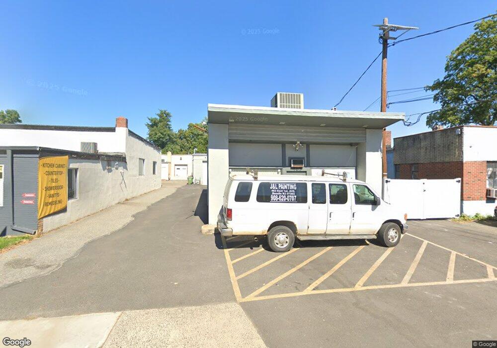
463 E 1st Ave Unit 1-2 Roselle, NJ 07203
Estimated Value: $817,574
Studio
--
Bath
--
Sq Ft
4,443
Sq Ft
About This Home
This home is located at 463 E 1st Ave Unit 1-2, Roselle, NJ 07203 and is currently estimated at $817,574. 463 E 1st Ave Unit 1-2 is a home located in Union County with nearby schools including Harrison Elementary School, Leonard V. Moore Middle School, and Grace Wilday Junior High School.
Ownership History
Date
Name
Owned For
Owner Type
Purchase Details
Closed on
Oct 25, 2021
Sold by
Rosenzweig Ronnie
Bought by
463 E 1St Ave Realty Llc
Current Estimated Value
Home Financials for this Owner
Home Financials are based on the most recent Mortgage that was taken out on this home.
Original Mortgage
$395,000
Outstanding Balance
$361,949
Interest Rate
2.99%
Mortgage Type
Commercial
Estimated Equity
$455,625
Create a Home Valuation Report for This Property
The Home Valuation Report is an in-depth analysis detailing your home's value as well as a comparison with similar homes in the area
Home Values in the Area
Average Home Value in this Area
Purchase History
| Date | Buyer | Sale Price | Title Company |
|---|---|---|---|
| 463 E 1St Ave Realty Llc | $615,000 | Chicago Title Insurance Co | |
| 463 E 1St Ave Realty Llc | $615,000 | Chicago Title |
Source: Public Records
Mortgage History
| Date | Status | Borrower | Loan Amount |
|---|---|---|---|
| Open | 463 E 1St Ave Realty Llc | $395,000 | |
| Closed | 463 E 1St Ave Realty Llc | $395,000 |
Source: Public Records
Tax History
| Year | Tax Paid | Tax Assessment Tax Assessment Total Assessment is a certain percentage of the fair market value that is determined by local assessors to be the total taxable value of land and additions on the property. | Land | Improvement |
|---|---|---|---|---|
| 2025 | $16,712 | $192,200 | $54,000 | $138,200 |
| 2024 | $16,293 | $192,200 | $54,000 | $138,200 |
| 2023 | $16,293 | $192,200 | $54,000 | $138,200 |
| 2022 | $16,406 | $192,200 | $54,000 | $138,200 |
| 2021 | $16,308 | $192,200 | $54,000 | $138,200 |
| 2020 | $16,256 | $192,200 | $54,000 | $138,200 |
| 2019 | $16,049 | $192,200 | $54,000 | $138,200 |
| 2018 | $15,960 | $192,200 | $54,000 | $138,200 |
| 2017 | $15,876 | $192,200 | $54,000 | $138,200 |
| 2016 | $15,526 | $192,200 | $54,000 | $138,200 |
| 2015 | $15,524 | $192,200 | $54,000 | $138,200 |
| 2014 | $15,092 | $192,200 | $54,000 | $138,200 |
Source: Public Records
Map
Nearby Homes
- 121 Myrtle St
- 117 Pershing Ave
- 549 E 3rd Ave
- 255 E Westfield Ave
- 220 Sherman Ave
- 540 E 3rd Ave
- 415 E 3rd Ave Unit 3
- 455 E Westfield Ave
- 317 Drake Ave
- 221 E Westfield Ave
- 308 Sherman Ave
- 424 E 4th Ave
- 502 Drake Ave
- 703 Elm St
- 362 E Clay Ave
- 717 Galvin Ave
- 871 Colonia Rd Unit 875
- 865 Westfield Ave
- 310 Stockton Ave
- 164 E Clay Ave
- 463 E 1st Ave
- 457 E 1st Ave
- 507 E 1st Ave
- 505 E 1st Ave
- 342 E Westfield Ave Unit 2B
- 342 E Westfield Ave
- 342 E Westfield Ave Unit 1
- 439 E 1st Ave
- 513 E 1st Ave
- 490 E 1st Ave
- 336 E Westfield Ave Unit C3
- 336 E Westfield Ave Unit C7
- 336 E Westfield Ave Unit C2
- 336 E Westfield Ave Unit House
- 336 E Westfield Ave
- 486 E 1st Ave
- 500 E 1st Ave
- 326 E Westfield Ave
- 350 E Westfield Ave Unit 18
- 350 E Westfield Ave Unit 6
Your Personal Tour Guide
Ask me questions while you tour the home.