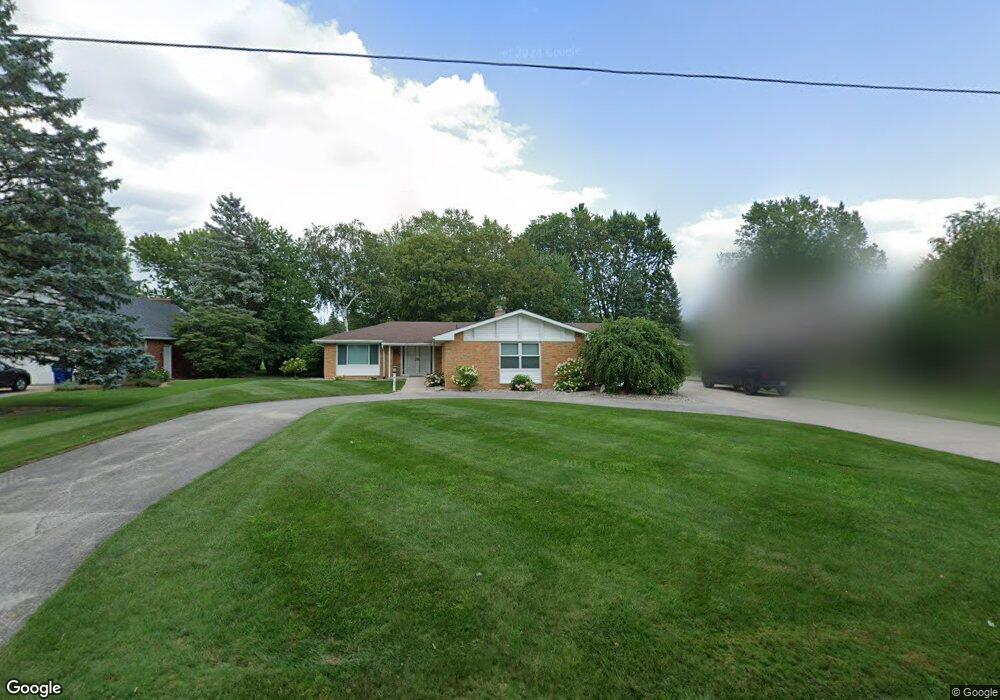
463 Foxboro Rd Unit Bldg-Unit Saginaw, MI 48638
Estimated Value: $285,000 - $403,000
3
Beds
3
Baths
2,055
Sq Ft
$162/Sq Ft
Est. Value
About This Home
This home is located at 463 Foxboro Rd Unit Bldg-Unit, Saginaw, MI 48638 and is currently estimated at $333,777, approximately $162 per square foot. 463 Foxboro Rd Unit Bldg-Unit is a home located in Saginaw County with nearby schools including Westdale Elementary School, Arrowwood Elementary School, and White Pine Middle School.
Ownership History
Date
Name
Owned For
Owner Type
Purchase Details
Closed on
Dec 9, 2020
Sold by
Warren Michael W and Warren Christine
Bought by
Ladouce Sean
Current Estimated Value
Home Financials for this Owner
Home Financials are based on the most recent Mortgage that was taken out on this home.
Original Mortgage
$280,321
Outstanding Balance
$249,569
Interest Rate
2.7%
Mortgage Type
FHA
Estimated Equity
$84,208
Purchase Details
Closed on
Feb 26, 2018
Sold by
Artl Lorraine S and Arlt John A
Bought by
Warren Michael W and Warren Mary C
Create a Home Valuation Report for This Property
The Home Valuation Report is an in-depth analysis detailing your home's value as well as a comparison with similar homes in the area
Home Values in the Area
Average Home Value in this Area
Purchase History
| Date | Buyer | Sale Price | Title Company |
|---|---|---|---|
| Ladouce Sean | $290,000 | Homeland Title Services Llc | |
| Warren Michael W | $135,000 | -- |
Source: Public Records
Mortgage History
| Date | Status | Borrower | Loan Amount |
|---|---|---|---|
| Open | Ladouce Sean | $280,321 |
Source: Public Records
Tax History Compared to Growth
Tax History
| Year | Tax Paid | Tax Assessment Tax Assessment Total Assessment is a certain percentage of the fair market value that is determined by local assessors to be the total taxable value of land and additions on the property. | Land | Improvement |
|---|---|---|---|---|
| 2025 | $4,906 | $115,800 | $0 | $0 |
| 2024 | $2,620 | $126,100 | $0 | $0 |
| 2023 | $2,494 | $120,800 | $0 | $0 |
| 2022 | $4,239 | $119,300 | $0 | $0 |
| 2021 | $3,909 | $108,300 | $0 | $0 |
| 2020 | $3,648 | $106,100 | $0 | $0 |
| 2019 | $3,489 | $99,700 | $18,600 | $81,100 |
| 2018 | $1,549 | $99,200 | $0 | $0 |
| 2017 | $2,723 | $98,900 | $0 | $0 |
| 2016 | $2,689 | $102,200 | $0 | $0 |
| 2014 | $2,573 | $94,500 | $0 | $80,600 |
| 2013 | -- | $82,600 | $0 | $0 |
Source: Public Records
Map
Nearby Homes
- 361 Somerset Rd
- 249 Stoneham Rd
- 4515 Gratiot Rd Unit 11
- 4726 Crutchfield Dr
- 211 Holbrook Ln
- 60 Golfview Dr
- 3 Rust Ln
- 210 Golfview Dr
- 27 W Hannum Blvd
- 395 S Center Rd
- 4840 Clunie St
- 68 Davis Dr
- 5024 Kencliff Dr
- 101 Provincial Ct Unit 48
- 0 Gratiot Ave
- 1129 Pacelli St
- 103 Provincial Ct Unit 30
- 41 Benton Rd
- 202 Provincial Ct Unit 94
- 430 N Center Rd
- 463 Foxboro Rd
- 499 Foxboro Rd
- 421 Foxboro Rd
- 555 Foxboro Rd
- 458 Foxboro Rd
- 381 Foxboro Rd
- 490 Foxboro Rd
- 418 Foxboro Rd
- 526 Foxboro Rd
- 6020 Foxboro Ct
- 341 Foxboro Rd
- 380 Foxboro Rd
- 579 Foxboro Rd
- 415 Westchester Rd
- 342 Foxboro Rd
- 489 Westchester Rd
- 451 Westchester Rd
- 619 Foxboro Rd
- 592 Foxboro Rd
- 299 Foxboro Rd