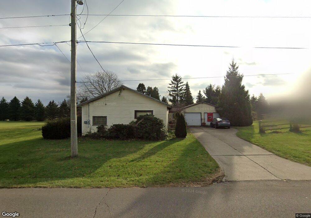
463 Logan Rd Mansfield, OH 44907
Estimated Value: $187,258 - $243,000
2
Beds
1
Bath
1,250
Sq Ft
$169/Sq Ft
Est. Value
About This Home
This home is located at 463 Logan Rd, Mansfield, OH 44907 and is currently estimated at $210,815, approximately $168 per square foot. 463 Logan Rd is a home located in Richland County with nearby schools including Madison High School, Mansfield Christian School, and Discovery School.
Ownership History
Date
Name
Owned For
Owner Type
Purchase Details
Closed on
Apr 27, 1995
Sold by
Society National Bank
Bought by
Rider Evelyn P
Current Estimated Value
Purchase Details
Closed on
Sep 22, 1993
Sold by
Bolesky Harold F
Bought by
Society National Bank
Purchase Details
Closed on
May 10, 1991
Bought by
Bolesky Harold F
Create a Home Valuation Report for This Property
The Home Valuation Report is an in-depth analysis detailing your home's value as well as a comparison with similar homes in the area
Home Values in the Area
Average Home Value in this Area
Purchase History
| Date | Buyer | Sale Price | Title Company |
|---|---|---|---|
| Rider Evelyn P | $64,500 | -- | |
| Society National Bank | -- | -- | |
| Bolesky Harold F | -- | -- |
Source: Public Records
Tax History
| Year | Tax Paid | Tax Assessment Tax Assessment Total Assessment is a certain percentage of the fair market value that is determined by local assessors to be the total taxable value of land and additions on the property. | Land | Improvement |
|---|---|---|---|---|
| 2024 | $1,835 | $46,520 | $7,020 | $39,500 |
| 2023 | $1,879 | $46,520 | $7,020 | $39,500 |
| 2022 | $1,680 | $38,430 | $6,030 | $32,400 |
| 2021 | $1,679 | $38,430 | $6,030 | $32,400 |
| 2020 | $1,696 | $38,430 | $6,030 | $32,400 |
| 2019 | $1,574 | $32,220 | $5,060 | $27,160 |
| 2018 | $1,559 | $32,220 | $5,060 | $27,160 |
| 2017 | $1,527 | $32,220 | $5,060 | $27,160 |
| 2016 | $1,429 | $29,430 | $4,300 | $25,130 |
| 2015 | $1,429 | $29,430 | $4,300 | $25,130 |
| 2014 | $1,397 | $29,430 | $4,300 | $25,130 |
| 2012 | $1,350 | $30,330 | $4,430 | $25,900 |
Source: Public Records
Map
Nearby Homes
- 0 Lexington Ave Unit 224009661
- 1179 Burkwood Rd
- 1521 Cape Cod Dr
- 1066 Burkwood Rd
- 489 Clifton Blvd
- 1510 Cape Cod Dr Unit 1504
- 601 Karlson Dr
- 1702 Middle Bellville Rd
- 635 Karlson Dr
- 615 Bailey Dr
- 104 Elmridge Rd
- 0 Rippling Brook Dr
- 1327 S Trimble Rd
- 83 Mccullough Blvd Unit 52
- 50 Lilac Ct E
- 893 Greenfield Dr
- 400 James Ave
- 763 York St W
- 735 Courtwright Blvd
- 0 George Ave
- 465 Logan Rd
- 455 Logan Rd
- 0 Logan Rd
- 485 Logan Rd
- 493 Logan Rd
- 505 Logan Rd
- 503 & 505 Logan Rd
- 503 Logan Rd
- 503 Logan Rd Unit 505
- 1319 Beechdale Dr
- 1329 Beechdale Dr
- 395 Logan Rd
- 1345 Beechdale Dr
- 1318 Beechdale Dr
- 391 Logan Rd
- 1355 Beechdale Dr
- 523 Logan Rd
- 523 & 525 Logan Rd
- 1328 Beechdale Dr
- 1338 Beechdale Dr
Your Personal Tour Guide
Ask me questions while you tour the home.