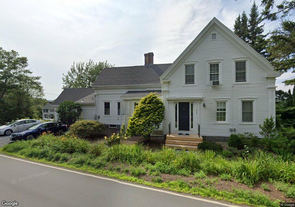
463 Ocean Point Rd East Boothbay, ME 04544
Estimated Value: $631,000 - $1,182,751
3
Beds
6
Baths
976
Sq Ft
$930/Sq Ft
Est. Value
About This Home
This home is located at 463 Ocean Point Rd, East Boothbay, ME 04544 and is currently estimated at $907,438, approximately $929 per square foot. 463 Ocean Point Rd is a home located in Lincoln County with nearby schools including Boothbay Region Elementary School and Boothbay Region High School.
Ownership History
Date
Name
Owned For
Owner Type
Purchase Details
Closed on
Oct 4, 2021
Sold by
Salorio Stephen M
Bought by
Rhoad Juliet L and Resha Karen A
Current Estimated Value
Home Financials for this Owner
Home Financials are based on the most recent Mortgage that was taken out on this home.
Original Mortgage
$720,000
Outstanding Balance
$656,573
Interest Rate
2.8%
Mortgage Type
Purchase Money Mortgage
Estimated Equity
$250,865
Create a Home Valuation Report for This Property
The Home Valuation Report is an in-depth analysis detailing your home's value as well as a comparison with similar homes in the area
Home Values in the Area
Average Home Value in this Area
Purchase History
| Date | Buyer | Sale Price | Title Company |
|---|---|---|---|
| Rhoad Juliet L | -- | None Available |
Source: Public Records
Mortgage History
| Date | Status | Borrower | Loan Amount |
|---|---|---|---|
| Open | Rhoad Juliet L | $720,000 |
Source: Public Records
Tax History Compared to Growth
Tax History
| Year | Tax Paid | Tax Assessment Tax Assessment Total Assessment is a certain percentage of the fair market value that is determined by local assessors to be the total taxable value of land and additions on the property. | Land | Improvement |
|---|---|---|---|---|
| 2024 | $7,478 | $658,815 | $460,200 | $198,615 |
| 2023 | $6,621 | $658,815 | $460,200 | $198,615 |
| 2022 | $6,127 | $658,815 | $460,200 | $198,615 |
| 2021 | $6,292 | $658,815 | $460,200 | $198,615 |
| 2020 | $6,325 | $658,815 | $460,200 | $198,615 |
| 2019 | $6,226 | $658,815 | $460,200 | $198,615 |
| 2018 | $6,127 | $658,815 | $460,200 | $198,615 |
| 2017 | $5,689 | $618,400 | $364,200 | $254,200 |
| 2016 | $5,442 | $618,400 | $364,200 | $254,200 |
| 2015 | $5,411 | $618,400 | $364,200 | $254,200 |
| 2014 | $5,256 | $618,400 | $364,200 | $254,200 |
Source: Public Records
Map
Nearby Homes
- 12 Westwind Dr
- 44 King Phillips Trail
- 5 Massachusetts Ave
- 239 Ocean Point Rd
- 127 Appalachee Rd
- 210 Ocean Point Rd
- 23 Meadow Cove Rd
- 35 Rice Rd
- 74 & 76 Bay St
- 98 Meadow Cove Rd
- 31 Bay St
- 28 & 31 Will Alley Rd
- 61 Van Horn Rd
- 19 Hill Rd
- Lts 23A&24 Birch Island
- 37 Townsend Ave
- Birch Island
- 66 Townsend Ave
- 27 Townsend Ave
- 34 Townsend Ave
- 459 Ocean Point Rd
- 458 Ocean Point Rd
- Lot 42R01A Ocean Point Rd
- 5 Alley Rd
- 455 Ocean Point Rd
- 5 & 11 Alley Rd
- 9/11 Westwind Dr
- 41 Ridge Rd
- 35 Ridge Rd
- 485 Ocean Point Rd
- 482 Ocean Point Rd
- 500 Ocean Point Rd
- 447 Ocean Point Rd
- 487 Ocean Point Rd
- 9-11 Westwind Rd
- 429 Ocean Point Rd
- 5 Westwind Dr
- 9,11 Westwind Dr
- 10 Westwind Dr
- 502 Ocean Point Rd